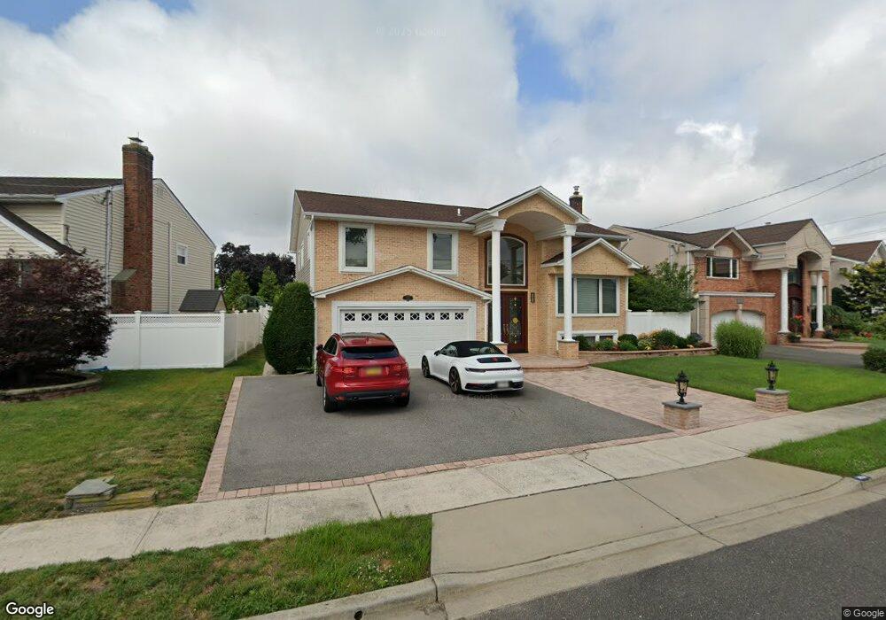
3014 Beach Dr Merrick, NY 11566
Estimated Value: $1,143,000 - $1,151,917
4
Beds
3
Baths
2,788
Sq Ft
$412/Sq Ft
Est. Value
About This Home
This home is located at 3014 Beach Dr, Merrick, NY 11566 and is currently estimated at $1,147,459, approximately $411 per square foot. 3014 Beach Dr is a home located in Nassau County with nearby schools including Merrick Avenue Middle School, John F. Kennedy High School, and Grace Christian Academy.
Ownership History
Date
Name
Owned For
Owner Type
Purchase Details
Closed on
Mar 14, 2014
Sold by
Gordon Sharon
Bought by
Michel Emmanuella and Metellus Roberte
Current Estimated Value
Home Financials for this Owner
Home Financials are based on the most recent Mortgage that was taken out on this home.
Original Mortgage
$250,000
Outstanding Balance
$188,986
Interest Rate
4.27%
Mortgage Type
Purchase Money Mortgage
Estimated Equity
$958,473
Purchase Details
Closed on
Dec 26, 2001
Purchase Details
Closed on
Apr 6, 1995
Sold by
Lapayover Morton and Lapayover Corinne
Bought by
Gordon Sharon
Home Financials for this Owner
Home Financials are based on the most recent Mortgage that was taken out on this home.
Original Mortgage
$220,000
Interest Rate
8.66%
Create a Home Valuation Report for This Property
The Home Valuation Report is an in-depth analysis detailing your home's value as well as a comparison with similar homes in the area
Home Values in the Area
Average Home Value in this Area
Purchase History
| Date | Buyer | Sale Price | Title Company |
|---|---|---|---|
| Michel Emmanuella | $595,000 | -- | |
| -- | -- | -- | |
| Gordon Sharon | $365,000 | -- |
Source: Public Records
Mortgage History
| Date | Status | Borrower | Loan Amount |
|---|---|---|---|
| Open | Michel Emmanuella | $250,000 | |
| Previous Owner | Gordon Sharon | $220,000 |
Source: Public Records
Tax History Compared to Growth
Tax History
| Year | Tax Paid | Tax Assessment Tax Assessment Total Assessment is a certain percentage of the fair market value that is determined by local assessors to be the total taxable value of land and additions on the property. | Land | Improvement |
|---|---|---|---|---|
| 2025 | $20,914 | $742 | $251 | $491 |
| 2024 | $5,024 | $742 | $251 | $491 |
| 2023 | $19,854 | $786 | $277 | $509 |
| 2022 | $19,854 | $742 | $251 | $491 |
| 2021 | $24,446 | $788 | $266 | $522 |
| 2020 | $21,281 | $1,065 | $568 | $497 |
| 2019 | $18,775 | $1,065 | $568 | $497 |
| 2018 | $17,543 | $1,065 | $0 | $0 |
| 2017 | $10,828 | $1,065 | $568 | $497 |
| 2016 | $15,386 | $1,065 | $568 | $497 |
| 2015 | $4,226 | $1,065 | $516 | $549 |
| 2014 | $4,226 | $1,065 | $516 | $549 |
| 2013 | $3,999 | $1,065 | $516 | $549 |
Source: Public Records
Map
Nearby Homes
- 3022 Beach Dr
- 3006 Beach Dr
- 3011 Holiday Park Dr
- 3000 Beach Dr
- 3030 Beach Dr
- 3005 Holiday Park Dr
- 3017 Holiday Park Dr
- 3015 Beach Dr
- 3011 Beach Dr
- 2999 Holiday Park Dr
- 3036 Beach Dr
- 2994 Beach Dr
- 3005 Beach Dr
- 3021 Beach Dr
- 3089 Monterey Dr
- 2999 Beach Dr
- 2993 Holiday Park Dr
- 3071 Clubhouse Rd
- 3077 Clubhouse Rd
- 2988 Beach Dr