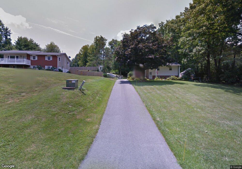
3014 Michael Rd Mount Airy, MD 21771
Estimated Value: $374,305 - $482,000
Studio
2
Baths
1,062
Sq Ft
$397/Sq Ft
Est. Value
About This Home
This home is located at 3014 Michael Rd, Mount Airy, MD 21771 and is currently estimated at $421,576, approximately $396 per square foot. 3014 Michael Rd is a home located in Carroll County with nearby schools including Winfield Elementary School, Mount Airy Middle School, and South Carroll High School.
Ownership History
Date
Name
Owned For
Owner Type
Purchase Details
Closed on
Mar 11, 2025
Sold by
Blankenship John William and Blankenship Deborah An
Bought by
St Jude Childrens Research Hospital
Current Estimated Value
Create a Home Valuation Report for This Property
The Home Valuation Report is an in-depth analysis detailing your home's value as well as a comparison with similar homes in the area
Purchase History
| Date | Buyer | Sale Price | Title Company |
|---|---|---|---|
| St Jude Childrens Research Hospital | -- | None Listed On Document | |
| St Jude Childrens Research Hospital | -- | None Listed On Document |
Source: Public Records
Tax History
| Year | Tax Paid | Tax Assessment Tax Assessment Total Assessment is a certain percentage of the fair market value that is determined by local assessors to be the total taxable value of land and additions on the property. | Land | Improvement |
|---|---|---|---|---|
| 2025 | $3,345 | $336,333 | $0 | $0 |
| 2024 | $3,180 | $312,800 | $163,000 | $149,800 |
| 2023 | $3,020 | $287,667 | $0 | $0 |
| 2022 | $2,865 | $262,533 | $0 | $0 |
| 2021 | $5,605 | $237,400 | $105,900 | $131,500 |
| 2020 | $2,689 | $234,800 | $0 | $0 |
| 2019 | $2,684 | $232,200 | $0 | $0 |
| 2018 | $2,631 | $229,600 | $105,900 | $123,700 |
| 2017 | $2,575 | $224,633 | $0 | $0 |
| 2016 | -- | $219,667 | $0 | $0 |
| 2015 | -- | $214,700 | $0 | $0 |
| 2014 | -- | $214,700 | $0 | $0 |
Source: Public Records
Map
Nearby Homes
- 4814 Ridge Rd
- 4525 Roop Rd
- 3222 Kimberly Dr
- 4328 Ridge Rd Unit 13
- 4328 Ridge Rd Unit 14
- 2507 Gillis Rd
- 2613 Liberty Rd
- 2514 W Liberty Rd
- 4505 Gray Horse Dr
- 15539 Liberty Rd
- 0 Cabbage Spring Rd
- 3895 Buffalo Rd
- 5730 Ridge Rd
- 3816 A Jim Smith Ln
- 3007 Merle Ct
- 6181 Challedon Cir
- 1658 Sams Creek Rd
- 3410 Tuckaway Dr
- 6207 Belmont Cir
- 2900 Gillis Falls Rd
Your Personal Tour Guide
Ask me questions while you tour the home.