30147 Forrest Ln Holden, LA 70744
Livingston Parish NeighborhoodEstimated Value: $158,000 - $322,000
--
Bed
--
Bath
--
Sq Ft
21.18
Acres
About This Home
This home is located at 30147 Forrest Ln, Holden, LA 70744 and is currently estimated at $224,405. 30147 Forrest Ln is a home located in Livingston Parish with nearby schools including Albany Lower Elementary School, Albany Middle School, and Albany Upper Elementary School.
Ownership History
Date
Name
Owned For
Owner Type
Purchase Details
Closed on
Oct 24, 2024
Sold by
Turkey Creek Properties
Bought by
Rogers Kaci Denise and Rogers Myka Seymour
Current Estimated Value
Home Financials for this Owner
Home Financials are based on the most recent Mortgage that was taken out on this home.
Original Mortgage
$89,100
Outstanding Balance
$85,276
Interest Rate
6.2%
Mortgage Type
New Conventional
Estimated Equity
$139,129
Create a Home Valuation Report for This Property
The Home Valuation Report is an in-depth analysis detailing your home's value as well as a comparison with similar homes in the area
Home Values in the Area
Average Home Value in this Area
Purchase History
| Date | Buyer | Sale Price | Title Company |
|---|---|---|---|
| Rogers Kaci Denise | $99,000 | Wfg National Title |
Source: Public Records
Mortgage History
| Date | Status | Borrower | Loan Amount |
|---|---|---|---|
| Open | Rogers Kaci Denise | $89,100 | |
| Previous Owner | Stewart Kevin R | $70,000 |
Source: Public Records
Tax History Compared to Growth
Tax History
| Year | Tax Paid | Tax Assessment Tax Assessment Total Assessment is a certain percentage of the fair market value that is determined by local assessors to be the total taxable value of land and additions on the property. | Land | Improvement |
|---|---|---|---|---|
| 2024 | $864 | $10,810 | $1,280 | $9,530 |
| 2023 | $943 | $10,810 | $1,280 | $9,530 |
| 2022 | $952 | $10,810 | $1,280 | $9,530 |
| 2021 | $956 | $10,810 | $1,280 | $9,530 |
| 2020 | $948 | $10,810 | $1,280 | $9,530 |
| 2019 | $1,054 | $11,870 | $1,280 | $10,590 |
| 2018 | $1,054 | $11,870 | $1,280 | $10,590 |
| 2017 | $1,048 | $11,870 | $1,280 | $10,590 |
| 2015 | $386 | $11,870 | $1,280 | $10,590 |
| 2014 | $394 | $11,870 | $1,280 | $10,590 |
Source: Public Records
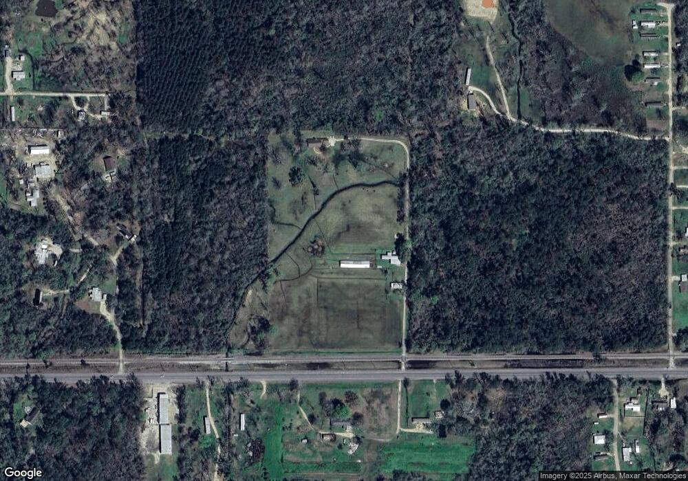
Map
Nearby Homes
- 0 Highway 190
- 17965 Florida Blvd
- 31268 Crain Rd
- 28489 Shadow Lake Dr
- 29063 Henry White Rd
- TBD S Bankston Rd
- TBD Hutchinson Cemetary Rd
- 0 Shadow Lake Dr
- 0 Hwy 441 Hwy Unit LotWP001 22517993
- 0 Hwy 441 Hwy Unit 2484451
- 28530 Hutchinson Cemetary Rd
- 29641 Victor Hugo Ln
- 29700 Stephanie Anne Ln
- 28915 La 441 Hwy
- TBD Pea Ridge Rd
- TBD H-6 Pea Ridge Rd
- TBD H-2 Pea Ridge Rd
- TBD H-5 Pea Ridge Rd
- TBD H-1 Pea Ridge Rd
- TBD H-3 Pea Ridge Rd
- 17692 Florida Blvd
- 30245 McCullen Rd
- 17620 Florida Blvd
- 17742 Florida Blvd
- 17450 Florida Blvd
- 30225 Reed Stewart Rd
- 30075 Reed Stewart Rd
- 17756 Florida Blvd
- 16964 Florida Blvd
- 30175 Reed Stewart Rd
- 30100 McCullen Rd
- 29904 Blount Rd
- 29986 Dubois Rd
- 29931 Dubois Rd
- 29931 Dubois Rd
- 30355 McCullen Rd
- 30120 McCullen Rd
- 0 Hwy 190 Unit 2015014924
- 0 Hwy 190 Unit 2018003685
- 0 Hwy 190 Unit BR200065592