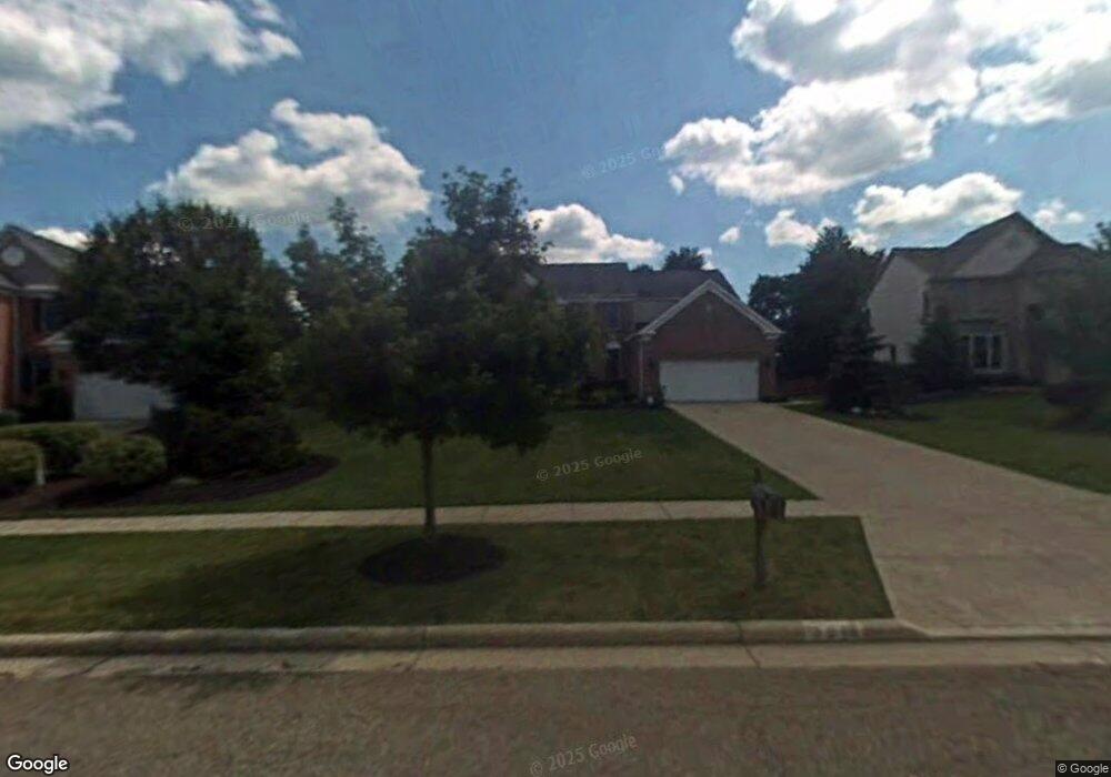
3015 Alling Dr Twinsburg, OH 44087
Estimated Value: $558,000 - $596,000
4
Beds
5
Baths
3,236
Sq Ft
$177/Sq Ft
Est. Value
About This Home
This home is located at 3015 Alling Dr, Twinsburg, OH 44087 and is currently estimated at $573,756, approximately $177 per square foot. 3015 Alling Dr is a home located in Summit County with nearby schools including Wilcox Primary School, Samuel Bissell Elementary School, and Dodge Intermediate School.
Ownership History
Date
Name
Owned For
Owner Type
Purchase Details
Closed on
Jun 17, 2025
Sold by
Soos Phillip G and Soos Carol J
Bought by
Soos Family Trust and Soos
Current Estimated Value
Purchase Details
Closed on
Mar 18, 1998
Sold by
Pulte Homes Of Ohio Corp
Bought by
Soos Phillip G and Soos Carol J
Home Financials for this Owner
Home Financials are based on the most recent Mortgage that was taken out on this home.
Original Mortgage
$278,000
Interest Rate
7.14%
Mortgage Type
New Conventional
Purchase Details
Closed on
Nov 22, 1996
Sold by
Marigold Dev Co
Bought by
Pulte Homes Of Ohio
Create a Home Valuation Report for This Property
The Home Valuation Report is an in-depth analysis detailing your home's value as well as a comparison with similar homes in the area
Home Values in the Area
Average Home Value in this Area
Purchase History
| Date | Buyer | Sale Price | Title Company |
|---|---|---|---|
| Soos Family Trust | -- | None Listed On Document | |
| Soos Phillip G | $347,520 | -- | |
| Pulte Homes Of Ohio | $1,350,000 | -- |
Source: Public Records
Mortgage History
| Date | Status | Borrower | Loan Amount |
|---|---|---|---|
| Previous Owner | Soos Phillip G | $278,000 |
Source: Public Records
Tax History Compared to Growth
Tax History
| Year | Tax Paid | Tax Assessment Tax Assessment Total Assessment is a certain percentage of the fair market value that is determined by local assessors to be the total taxable value of land and additions on the property. | Land | Improvement |
|---|---|---|---|---|
| 2025 | $7,962 | $165,390 | $25,183 | $140,207 |
| 2024 | $7,962 | $165,390 | $25,183 | $140,207 |
| 2023 | $7,962 | $165,390 | $25,183 | $140,207 |
| 2022 | $6,945 | $128,692 | $19,523 | $109,169 |
| 2021 | $6,978 | $128,692 | $19,523 | $109,169 |
| 2020 | $6,208 | $118,060 | $19,520 | $98,540 |
| 2019 | $6,243 | $110,950 | $19,520 | $91,430 |
| 2018 | $6,118 | $110,950 | $19,520 | $91,430 |
| 2017 | $5,632 | $122,570 | $19,520 | $103,050 |
| 2016 | $5,561 | $107,550 | $19,520 | $88,030 |
| 2015 | $5,632 | $108,260 | $19,520 | $88,740 |
| 2014 | $5,648 | $108,780 | $19,520 | $89,260 |
| 2013 | $5,676 | $109,450 | $19,520 | $89,930 |
Source: Public Records
Map
Nearby Homes
- 2923 Alling Dr
- 9740 Burton Dr
- 3331 Shale Dr
- 10169 Timothy Ln
- 3110 Blue Jaye Ln
- 2668 Walton Blvd
- 2825 Veron Ln
- 2590 Post Rd
- 3320 Blossom Trail
- 3336 Blossom Trail
- 10085 Glen Eagle Ln Unit 35AG
- 10502 White Ash Trail
- 3281 Evans Way
- 10393 N Pond Ln
- 3314 Fenmore Ln
- 9933 Cynthia Dr
- 10375 W Cobblestone Ln Unit 2
- 34105 Blue Heron Dr
- 7485 Stockwood Dr
- 2708 Edgebrook Crossing Unit 19