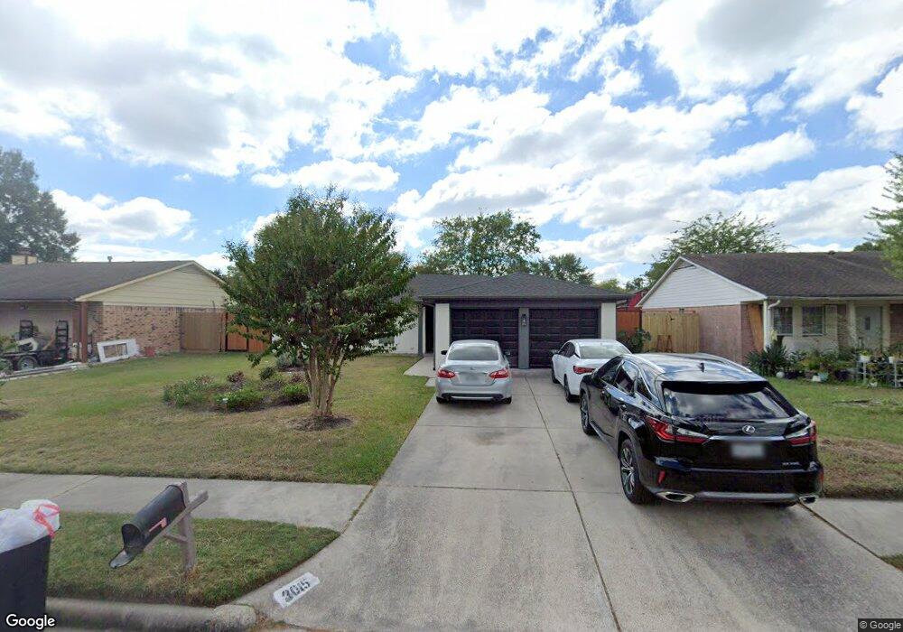
3015 Marshwood Rd Houston, TX 77038
North Houston NeighborhoodEstimated Value: $204,000 - $222,000
3
Beds
2
Baths
1,461
Sq Ft
$148/Sq Ft
Est. Value
About This Home
This home is located at 3015 Marshwood Rd, Houston, TX 77038 and is currently estimated at $215,840, approximately $147 per square foot. 3015 Marshwood Rd is a home located in Harris County with nearby schools including Kujawa EC/Pre-K/K School, Wilson Intermediate School, and Shotwell Middle School.
Ownership History
Date
Name
Owned For
Owner Type
Purchase Details
Closed on
Apr 18, 1997
Sold by
Hud
Bought by
Thomas Anthony C and Thomas Deborah D
Current Estimated Value
Home Financials for this Owner
Home Financials are based on the most recent Mortgage that was taken out on this home.
Original Mortgage
$47,111
Outstanding Balance
$6,054
Interest Rate
7.82%
Mortgage Type
FHA
Estimated Equity
$209,786
Purchase Details
Closed on
Nov 5, 1996
Sold by
Fleet Mtg Corp
Bought by
Hud
Create a Home Valuation Report for This Property
The Home Valuation Report is an in-depth analysis detailing your home's value as well as a comparison with similar homes in the area
Home Values in the Area
Average Home Value in this Area
Purchase History
| Date | Buyer | Sale Price | Title Company |
|---|---|---|---|
| Thomas Anthony C | -- | -- | |
| Hud | -- | -- | |
| Fleet Mtg Corp | $44,647 | -- |
Source: Public Records
Mortgage History
| Date | Status | Borrower | Loan Amount |
|---|---|---|---|
| Open | Thomas Anthony C | $47,111 |
Source: Public Records
Tax History Compared to Growth
Tax History
| Year | Tax Paid | Tax Assessment Tax Assessment Total Assessment is a certain percentage of the fair market value that is determined by local assessors to be the total taxable value of land and additions on the property. | Land | Improvement |
|---|---|---|---|---|
| 2025 | $3,295 | $226,120 | $38,136 | $187,984 |
| 2024 | $3,295 | $217,193 | $38,136 | $179,057 |
| 2023 | $3,295 | $217,193 | $38,136 | $179,057 |
| 2022 | $3,938 | $150,838 | $24,772 | $126,066 |
| 2021 | $3,710 | $130,142 | $24,772 | $105,370 |
| 2020 | $3,592 | $130,142 | $24,772 | $105,370 |
| 2019 | $3,387 | $108,085 | $24,772 | $83,313 |
| 2018 | $1,074 | $101,653 | $24,772 | $76,881 |
| 2017 | $2,792 | $101,653 | $24,772 | $76,881 |
| 2016 | $2,538 | $83,765 | $12,386 | $71,379 |
| 2015 | $2,084 | $75,000 | $12,386 | $62,614 |
| 2014 | $2,084 | $75,000 | $12,386 | $62,614 |
Source: Public Records
Map
Nearby Homes
- 13803 Bearwood Rd
- 2919 Sunwood Dr
- 14003 Valley Grove Dr
- 12611 Landon Light Ln
- 14118 Magnolia Springs Dr
- 10915 Meadow Walk Ln
- 2322 Hadden Hollow Dr
- 2410 Irish Spring Dr
- 2606 Owens Cross Dr
- 3240 Brownie Campbell Rd
- 2315 Tomlinson Trail Dr
- 2222 Irish Spring Dr
- 3407 Sandbrook Dr
- 12114 Mckamy Dr
- 12207 Mckamy Dr
- 14207 Timberhaven Dr
- 2530 Woodtown Dr
- 13308 Ann Louise Rd
- 2719 Magnolia Hill Trail
- 10915 Chelsea Knoll Ln
- 3011 Marshwood Rd
- 3019 Marshwood Rd
- 3007 Marshwood Rd
- 3023 Marshwood Rd
- 13903 Peatwood Rd
- 13902 Peatwood Rd
- 3027 Marshwood Rd
- 13902 Crosswood Rd
- 13819 Elkwood Dr
- 13815 Elkwood Dr
- 13907 Peatwood Rd
- 13811 Elkwood Dr
- 13906 Peatwood Rd
- 13903 Elkwood Dr
- 3103 Marshwood Rd
- 13906 Crosswood Rd
- 13807 Elkwood Dr
- 13911 Peatwood Rd
- 13910 Peatwood Rd
- 13907 Elkwood Dr