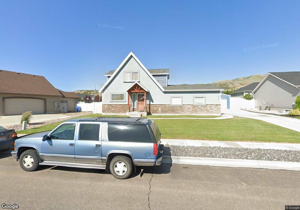
3016 Dartagnan Dr Pocatello, ID 83204
South Pocatello NeighborhoodEstimated Value: $483,265 - $539,000
5
Beds
3
Baths
2,824
Sq Ft
$184/Sq Ft
Est. Value
About This Home
This home is located at 3016 Dartagnan Dr, Pocatello, ID 83204 and is currently estimated at $519,816, approximately $184 per square foot. 3016 Dartagnan Dr is a home located in Bannock County with nearby schools including Washington Elementary School, Franklin Middle School, and Century High School.
Ownership History
Date
Name
Owned For
Owner Type
Purchase Details
Closed on
Oct 31, 2006
Sold by
Wildlife Ridge Estates Llc
Bought by
Olson Darin D and Olson Hortensia D
Current Estimated Value
Home Financials for this Owner
Home Financials are based on the most recent Mortgage that was taken out on this home.
Original Mortgage
$184,000
Interest Rate
6.27%
Mortgage Type
Construction
Create a Home Valuation Report for This Property
The Home Valuation Report is an in-depth analysis detailing your home's value as well as a comparison with similar homes in the area
Home Values in the Area
Average Home Value in this Area
Purchase History
| Date | Buyer | Sale Price | Title Company |
|---|---|---|---|
| Olson Darin D | -- | -- |
Source: Public Records
Mortgage History
| Date | Status | Borrower | Loan Amount |
|---|---|---|---|
| Previous Owner | Olson Darin D | $184,000 |
Source: Public Records
Tax History Compared to Growth
Tax History
| Year | Tax Paid | Tax Assessment Tax Assessment Total Assessment is a certain percentage of the fair market value that is determined by local assessors to be the total taxable value of land and additions on the property. | Land | Improvement |
|---|---|---|---|---|
| 2024 | $4,092 | $448,573 | $74,000 | $374,573 |
| 2023 | $4,326 | $482,281 | $74,000 | $408,281 |
| 2022 | $4,326 | $281,511 | $54,000 | $227,511 |
| 2021 | $2,646 | $281,511 | $54,000 | $227,511 |
| 2020 | $2,697 | $271,251 | $43,740 | $227,511 |
| 2019 | $3,148 | $262,726 | $54,000 | $208,726 |
| 2018 | $3,029 | $236,543 | $40,000 | $196,543 |
| 2017 | $3,005 | $236,543 | $40,000 | $196,543 |
| 2016 | $3,094 | $236,543 | $40,000 | $196,543 |
| 2015 | $3,237 | $0 | $0 | $0 |
| 2012 | -- | $222,490 | $40,000 | $182,490 |
Source: Public Records
Map
Nearby Homes
- 3150 Dartagnan Dr
- 1365 Barton Rd
- 3035 Dewinter Dr
- 1176 Swisher Rd
- TBD Short Ave
- 3457 Jason Ave
- TBD Connard Lot 2
- TBD Connard Lot 1 2 & 3
- TBD Connard Lot 3
- TBD #02 Connard Ave Unit Lot 2
- TBD#03 Connard Ave Unit Lot 3
- TBD1,2,3 Connard Ave Unit 1,2,3
- 845 Barton Rd Unit 36
- 845 Barton Rd Unit 71
- 845 Barton Rd
- 845 Barton Rd Unit 112
- 4290 Stockman Rd
- 1164 Jasper Loop Unit 2
- 1164 Jasper Loop
- 2548 S 2nd Ave
- 3032 Dartagnan Dr
- 3000 Dartagnan Dr
- 3019 Athos Dr
- 3003 Athos Dr
- 3035 Athos Dr
- 3021 Dartagnan Dr
- 3050 Dartagnan Dr
- Lot 2 Block 1 Tbd D'Artagnan
- 3037 Dartagnan Dr
- 3051 Athos Dr
- 3066 Dartagnan Dr
- 3053 Dartagnan Dr
- 3053 D'Artagnan
- 3006 Athos Dr
- 3030 Athos Dr
- 3077 Athos Dr
- 3065 D'Artagnan Dr
- 3065 Dartagnan Dr
- 3048 Athos Dr
- 3082 Dartagnan Dr