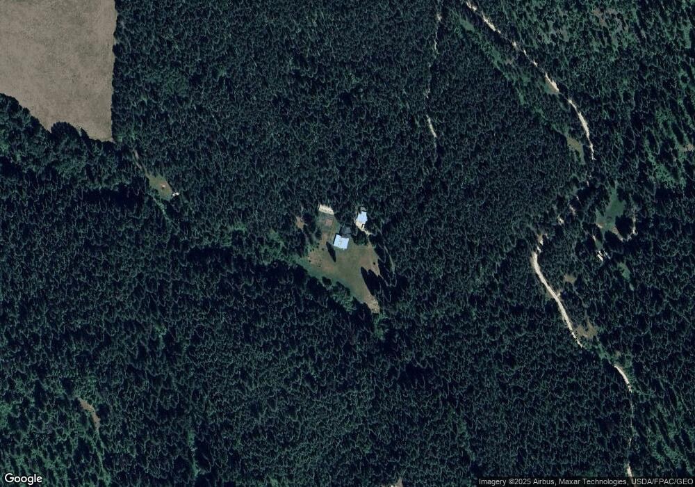
3016 Snook Rd Chewelah, WA 99109
Estimated Value: $484,000 - $680,000
3
Beds
1
Bath
1,728
Sq Ft
$339/Sq Ft
Est. Value
About This Home
This home is located at 3016 Snook Rd, Chewelah, WA 99109 and is currently estimated at $585,526, approximately $338 per square foot. 3016 Snook Rd is a home located in Stevens County with nearby schools including Gess Elementary School and Jenkins Junior/Senior High School.
Ownership History
Date
Name
Owned For
Owner Type
Purchase Details
Closed on
Sep 18, 2007
Sold by
Mendel Jacob and Mendel Cheyenne
Bought by
Rollins Roger L and Rollins Roxanne G
Current Estimated Value
Purchase Details
Closed on
Dec 5, 2006
Sold by
Mendel Jacob and Mendel Cheyenne
Bought by
Mendel Jacob and Mendel Cheyenne
Purchase Details
Closed on
Oct 29, 2002
Sold by
Frye Donald W and Frye Kathy
Bought by
Mendel Jacob and Nelson Cheyenne
Create a Home Valuation Report for This Property
The Home Valuation Report is an in-depth analysis detailing your home's value as well as a comparison with similar homes in the area
Home Values in the Area
Average Home Value in this Area
Purchase History
| Date | Buyer | Sale Price | Title Company |
|---|---|---|---|
| Rollins Roger L | $270,326 | Stevens County Title Co | |
| Mendel Jacob | -- | Stevens County Title Co | |
| Mendel Jacob | -- | Stevens County Title Co |
Source: Public Records
Tax History Compared to Growth
Tax History
| Year | Tax Paid | Tax Assessment Tax Assessment Total Assessment is a certain percentage of the fair market value that is determined by local assessors to be the total taxable value of land and additions on the property. | Land | Improvement |
|---|---|---|---|---|
| 2024 | $3,259 | $436,762 | $110,000 | $326,762 |
| 2023 | $2,338 | $302,670 | $70,000 | $232,670 |
| 2022 | $2,414 | $289,275 | $70,000 | $219,275 |
| 2021 | $2,640 | $282,292 | $70,000 | $212,292 |
| 2020 | $2,698 | $282,292 | $70,000 | $212,292 |
| 2019 | $2,466 | $277,081 | $70,000 | $207,081 |
| 2018 | $2,773 | $258,717 | $70,000 | $188,717 |
| 2017 | $2,497 | $266,983 | $70,000 | $196,983 |
| 2016 | $2,413 | $259,954 | $70,000 | $189,954 |
| 2015 | $2,513 | $264,929 | $70,000 | $194,929 |
| 2013 | -- | $241,820 | $70,000 | $171,820 |
Source: Public Records
Map
Nearby Homes
- 2642 B Mud Lake Rd
- 2443 Eagle Lambert Rd
- 2593 Burnt Valley Rd
- XXX Burnt Valley Rd
- 27xx Flowery Trail Rd
- 3033 Major Rd
- 2367 Morse Way
- XX1 N 7th St E
- XX2 N 7th St E
- 604 N 3rd St E
- 508 N 3rd St E
- 2429 Cottonwood Creek Rd
- 26XX Sand Canyon Lot 3 Rd
- 304 N 3rd St E
- 206 W Jenkins Ave
- 604 N 3rd St W
- 107 S 4th St E
- XXX Pinebrook Dr
- 203 Eagle Dr
- 108 E Main Ave
- 2992 Snook Rd
- 3009 Snook Rd
- 2978 Burnt Valley Rd
- 2996 Burnt Valley Rd
- 3061 D Burnt Valley Rd
- 3061 B Burnt Valley Rd
- 3061 A Burnt Valley Rd
- 3061 Burnt Valley Rd
- 2954 Burnt Valley Rd
- 2955 Burnt Valley Rd
- 3087 Burnt Valley Rd
- 3086 Burnt Valley Rd
- 3086 Burnt Valley Rd
- 2944 Burnt Valley Rd
- 3053 C Burnt Valley Rd
- 3091 Burnt Valley Rd
- 3092 Burnt Valley Rd
- 3053 A Burnt Valley Rd
- 3053 Burnt Valley Rd Unit "A"
- 3053 Burnt Valley Rd