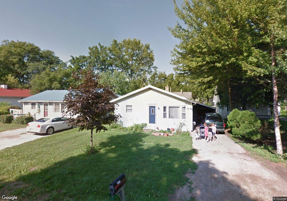
3017 Andrew Ave Lansing, MI 48906
Northwestside NeighborhoodEstimated Value: $119,000 - $138,000
--
Bed
--
Bath
1,232
Sq Ft
$104/Sq Ft
Est. Value
About This Home
This home is located at 3017 Andrew Ave, Lansing, MI 48906 and is currently estimated at $128,304, approximately $104 per square foot. 3017 Andrew Ave is a home located in Ingham County with nearby schools including Cumberland Elementary School, Pattengill Academy, and J.W. Sexton High School.
Ownership History
Date
Name
Owned For
Owner Type
Purchase Details
Closed on
May 10, 2004
Sold by
Nylander Jay Lee
Bought by
Simons Matthew
Current Estimated Value
Home Financials for this Owner
Home Financials are based on the most recent Mortgage that was taken out on this home.
Original Mortgage
$74,800
Interest Rate
8.55%
Mortgage Type
Purchase Money Mortgage
Purchase Details
Closed on
Feb 29, 1996
Sold by
Manier Judyne
Bought by
Nylander Jay
Create a Home Valuation Report for This Property
The Home Valuation Report is an in-depth analysis detailing your home's value as well as a comparison with similar homes in the area
Home Values in the Area
Average Home Value in this Area
Purchase History
| Date | Buyer | Sale Price | Title Company |
|---|---|---|---|
| Simons Matthew | $74,000 | Nta | |
| Nylander Jay | $46,500 | -- |
Source: Public Records
Mortgage History
| Date | Status | Borrower | Loan Amount |
|---|---|---|---|
| Previous Owner | Simons Matthew | $74,800 |
Source: Public Records
Tax History Compared to Growth
Tax History
| Year | Tax Paid | Tax Assessment Tax Assessment Total Assessment is a certain percentage of the fair market value that is determined by local assessors to be the total taxable value of land and additions on the property. | Land | Improvement |
|---|---|---|---|---|
| 2025 | $1,876 | $49,500 | $7,600 | $41,900 |
| 2024 | $14 | $48,600 | $7,600 | $41,000 |
| 2023 | $1,761 | $42,800 | $7,600 | $35,200 |
| 2022 | $1,591 | $38,000 | $7,600 | $30,400 |
| 2021 | $1,558 | $34,300 | $6,300 | $28,000 |
| 2020 | $1,548 | $33,000 | $6,300 | $26,700 |
| 2019 | $1,482 | $31,100 | $6,300 | $24,800 |
| 2018 | $1,392 | $25,900 | $6,300 | $19,600 |
| 2017 | $1,737 | $25,900 | $6,300 | $19,600 |
| 2016 | $1,274 | $24,000 | $6,300 | $17,700 |
| 2015 | $1,274 | $22,600 | $12,686 | $9,914 |
| 2014 | $1,274 | $21,900 | $13,447 | $8,453 |
Source: Public Records
Map
Nearby Homes
- 3016 Westmont Ave
- 3314 Sunnylane
- 3515 Wilson Ave
- 3319 Westmont Ave
- 3031 Amherst Dr
- 3709 Pino Dr
- 2524 Newport Dr
- 3116 Colchester Rd
- 2515 Kuerbitz Dr
- 4005 N Grand River Ave
- 2400 Beacon Hill Dr
- 2400 Leon Ave
- 3733 Colchester Rd
- 2220 Delta River Dr
- 2316 Barstow Rd
- 3212 Belgian Dr
- 2722 Tecumseh River Rd
- 2224 Pembroke Rd
- 2111 Delta River Dr
- 2921 Tecumseh River Rd
- 3011 Andrew Ave
- 3021 Andrew Ave
- 3007 Andrew Ave
- 3025 Andrew Ave
- 3016 Alfred Ave
- 3012 Alfred Ave
- 3020 Alfred Ave
- 3006 Alfred Ave
- 3005 Andrew Ave
- 3028 Alfred Ave
- 3101 Andrew Ave
- 3012 Andrew Ave
- 3020 Andrew Ave
- 3000 Alfred Ave
- 2925 Andrew Ave
- 3111 Andrew Ave
- 3100 Andrew Ave
- 3104 Alfred Ave
- 2926 Alfred Ave