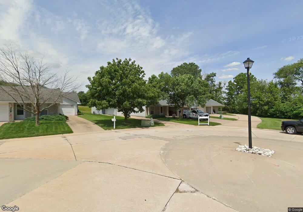
3017 Bluff Ridge Dr Quincy, IL 62305
Estimated Value: $126,947 - $244,000
Studio
--
Bath
--
Sq Ft
2,178
Sq Ft Lot
About This Home
This home is located at 3017 Bluff Ridge Dr, Quincy, IL 62305 and is currently estimated at $168,987. 3017 Bluff Ridge Dr is a home located in Adams County with nearby schools including Iles Elementary School, Quincy Junior High School, and Quincy Senior High School.
Ownership History
Date
Name
Owned For
Owner Type
Purchase Details
Closed on
Apr 3, 2018
Sold by
J Churchill Construction Inc
Bought by
Zabaneh Properties Llc
Current Estimated Value
Home Financials for this Owner
Home Financials are based on the most recent Mortgage that was taken out on this home.
Original Mortgage
$6,325,000
Outstanding Balance
$5,431,791
Interest Rate
4.38%
Mortgage Type
New Conventional
Estimated Equity
-$5,262,804
Create a Home Valuation Report for This Property
The Home Valuation Report is an in-depth analysis detailing your home's value as well as a comparison with similar homes in the area
Home Values in the Area
Average Home Value in this Area
Purchase History
| Date | Buyer | Sale Price | Title Company |
|---|---|---|---|
| Zabaneh Properties Llc | $1,747,000 | Towne & Country Abstract |
Source: Public Records
Mortgage History
| Date | Status | Borrower | Loan Amount |
|---|---|---|---|
| Open | Zabaneh Properties Llc | $6,325,000 |
Source: Public Records
Tax History
| Year | Tax Paid | Tax Assessment Tax Assessment Total Assessment is a certain percentage of the fair market value that is determined by local assessors to be the total taxable value of land and additions on the property. | Land | Improvement |
|---|---|---|---|---|
| 2024 | $2,294 | $35,180 | $5,000 | $30,180 |
| 2023 | $2,151 | $32,510 | $4,640 | $27,870 |
| 2022 | $2,034 | $30,350 | $4,330 | $26,020 |
| 2021 | $2,049 | $29,740 | $4,240 | $25,500 |
| 2020 | $2,011 | $29,160 | $4,160 | $25,000 |
| 2019 | $1,966 | $28,750 | $4,150 | $24,600 |
| 2018 | $2,070 | $29,920 | $4,070 | $25,850 |
| 2017 | $2,019 | $29,620 | $4,030 | $25,590 |
| 2016 | $1,981 | $28,410 | $3,860 | $24,550 |
| 2015 | $2,032,260 | $28,410 | $3,860 | $24,550 |
| 2012 | $2,033 | $29,340 | $3,730 | $25,610 |
Source: Public Records
Map
Nearby Homes
- 2901 Riverside Terrace
- 2801 W Bluff Ct
- 2432 Northridge Dr
- 2433 Cedar Creek Ct
- 1301 Highland Ln
- 2411 Wintergreen Dr
- 1431 Donlee St
- 1420 Stone Creek Dr
- 1700 Kochs Ln
- 3937 Musholt Strasse Ln
- 3938 Musholt Strasse Ln
- 3939 Musholt Strasse Ln
- 3128 N 18th St
- 1717 N 4th St
- 1715 N 4th St
- 1915 Hollister Whitney Pkwy
- 602 Eagle Trace
- 1610 N 4th St
- 2825 N 23rd St
- 2807 N 23rd St
- 3019 Bluff Ridge Dr
- 3015 Bluff Ridge Dr
- 3013 Bluff Ridge Dr
- 3021 Bluff Ridge Dr
- 3023 Bluff Ridge Dr
- 3011 Bluff Ridge Dr
- 3009 Bluff Ridge Dr
- 3007 Bluff Ridge Dr
- 3005 Bluff Ridge Dr
- 3003 Bluff Ridge Dr
- 3001 Bluff Ridge Dr
- 2943 Bluff Ridge Dr
- 2941 Bluff Ridge Dr
- 2939 Bluff Ridge Dr
- 3004 Bluff Ridge Dr
- 2937 Bluff Ridge Dr
- 3016 Bluff Ridge Dr
- 2935 Bluff Ridge Dr
- 3020 Bluff Ridge Dr
- 2933 Bluff Ridge Dr
Your Personal Tour Guide
Ask me questions while you tour the home.