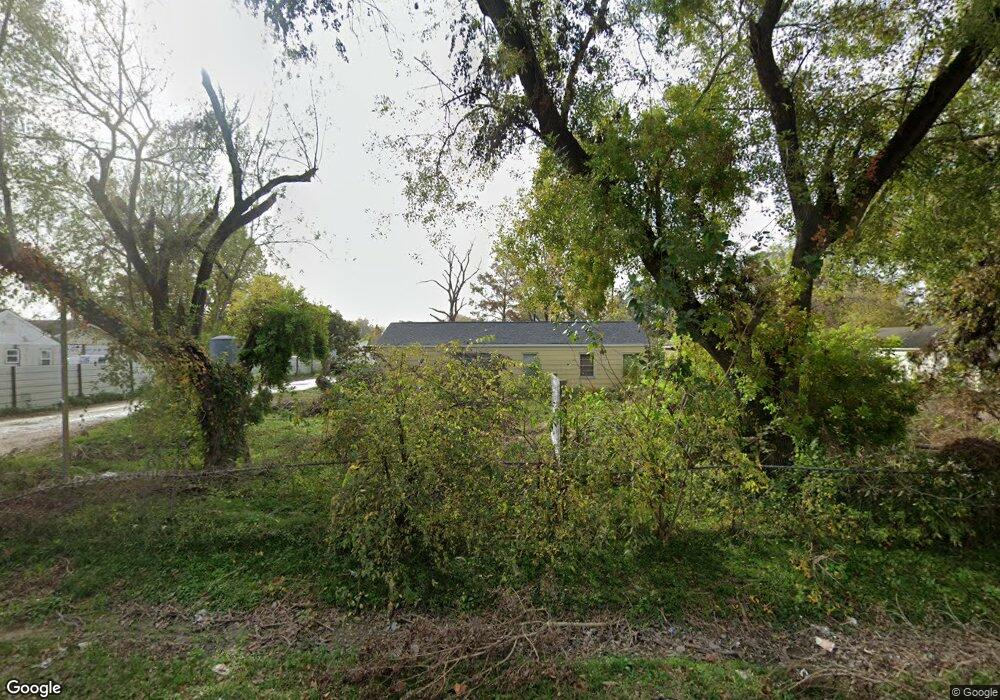
3017 Frick Rd Houston, TX 77038
North Houston NeighborhoodEstimated Value: $354,000 - $598,000
3
Beds
2
Baths
1,296
Sq Ft
$394/Sq Ft
Est. Value
About This Home
This home is located at 3017 Frick Rd, Houston, TX 77038 and is currently estimated at $510,101, approximately $393 per square foot. 3017 Frick Rd is a home located in Harris County with nearby schools including Kujawa EC/Pre-K/K School, Carter Academy, and Shotwell Middle School.
Ownership History
Date
Name
Owned For
Owner Type
Purchase Details
Closed on
May 7, 2019
Sold by
Morales Jose M
Bought by
Salmeron Rosa M
Current Estimated Value
Purchase Details
Closed on
Jun 24, 2018
Sold by
Morles Jose M
Bought by
Rio Prop Holdings Llc
Purchase Details
Closed on
Jan 15, 1999
Sold by
West Connie J and West Edward C
Bought by
Morales Jose M
Home Financials for this Owner
Home Financials are based on the most recent Mortgage that was taken out on this home.
Original Mortgage
$54,000
Interest Rate
6.68%
Mortgage Type
Seller Take Back
Purchase Details
Closed on
Nov 10, 1993
Sold by
Home Svgs Of America Fa
Bought by
West Connie Record
Create a Home Valuation Report for This Property
The Home Valuation Report is an in-depth analysis detailing your home's value as well as a comparison with similar homes in the area
Home Values in the Area
Average Home Value in this Area
Purchase History
| Date | Buyer | Sale Price | Title Company |
|---|---|---|---|
| Salmeron Rosa M | -- | None Available | |
| Rio Prop Holdings Llc | $36,775 | None Available | |
| Morales Jose M | -- | -- | |
| West Connie Record | -- | Texas American Title Company |
Source: Public Records
Mortgage History
| Date | Status | Borrower | Loan Amount |
|---|---|---|---|
| Previous Owner | Morales Jose M | $54,000 |
Source: Public Records
Tax History Compared to Growth
Tax History
| Year | Tax Paid | Tax Assessment Tax Assessment Total Assessment is a certain percentage of the fair market value that is determined by local assessors to be the total taxable value of land and additions on the property. | Land | Improvement |
|---|---|---|---|---|
| 2025 | $8,711 | $493,826 | $439,956 | $53,870 |
| 2024 | $8,711 | $531,318 | $479,160 | $52,158 |
| 2023 | $8,711 | $375,196 | $313,632 | $61,564 |
| 2022 | $7,622 | $370,689 | $313,632 | $57,057 |
| 2021 | $6,521 | $302,557 | $239,580 | $62,977 |
| 2020 | $6,534 | $287,642 | $239,580 | $48,062 |
| 2019 | $6,948 | $292,061 | $248,292 | $43,769 |
| 2018 | $2,939 | $286,230 | $248,292 | $37,938 |
| 2017 | $5,817 | $286,230 | $248,292 | $37,938 |
| 2016 | $4,883 | $239,701 | $200,376 | $39,325 |
| 2015 | $2,866 | $212,418 | $174,240 | $38,178 |
| 2014 | $2,866 | $145,729 | $102,120 | $43,609 |
Source: Public Records
Map
Nearby Homes
- 2838 Packard Elm St
- 3127 Frick Rd
- 2835 Oakland Brook St
- 2831 Oakland Brook St
- 2811 Oakland Brook St
- 13308 Ann Louise Rd
- 2614 Lemonwood Ln
- 2719 Magnolia Hill Trail
- 3265 Frick Rd
- 2530 Woodtown Dr
- 12623 Ann Louise Rd
- 00 Essie Rd
- 5914 Stirring Winds Ln
- 12718 Sai Baba Dr
- 2658 Needles Throw Ln
- 2919 Sunwood Dr
- 2203 Chalet Rd
- 13518 Kaltenbrun Rd
- 13803 Bearwood Rd
- 3240 Brownie Campbell Rd
- 0 Frick Road & Rochester Rd Unit 4460579
- 0 Frick Road & Rochester Rd Unit 4486545
- 0 Frick Road & Rochester Rd Unit 4493889
- 0 Frick Road & Rochester Rd Unit 4501124
- 0 Frick Road & Rochester Rd Unit 4508376
- 0 Frick Road & Rochester Rd Unit 4523361
- 0 Frick Road & Rochester Rd Unit 5451676
- 3009 Frick Rd
- 3018 Frick Rd
- 3033 Frick Rd
- 3025 Frick Rd
- 3034 Frick Rd
- 3010 Frick Rd
- 13054 Sundale Rd
- 3102 Frick Rd
- 3101 Frick Rd
- 13101 Sundale Rd
- 2909 Frick Rd
- 3117 Frick Rd
- 2855 Packard Elm St