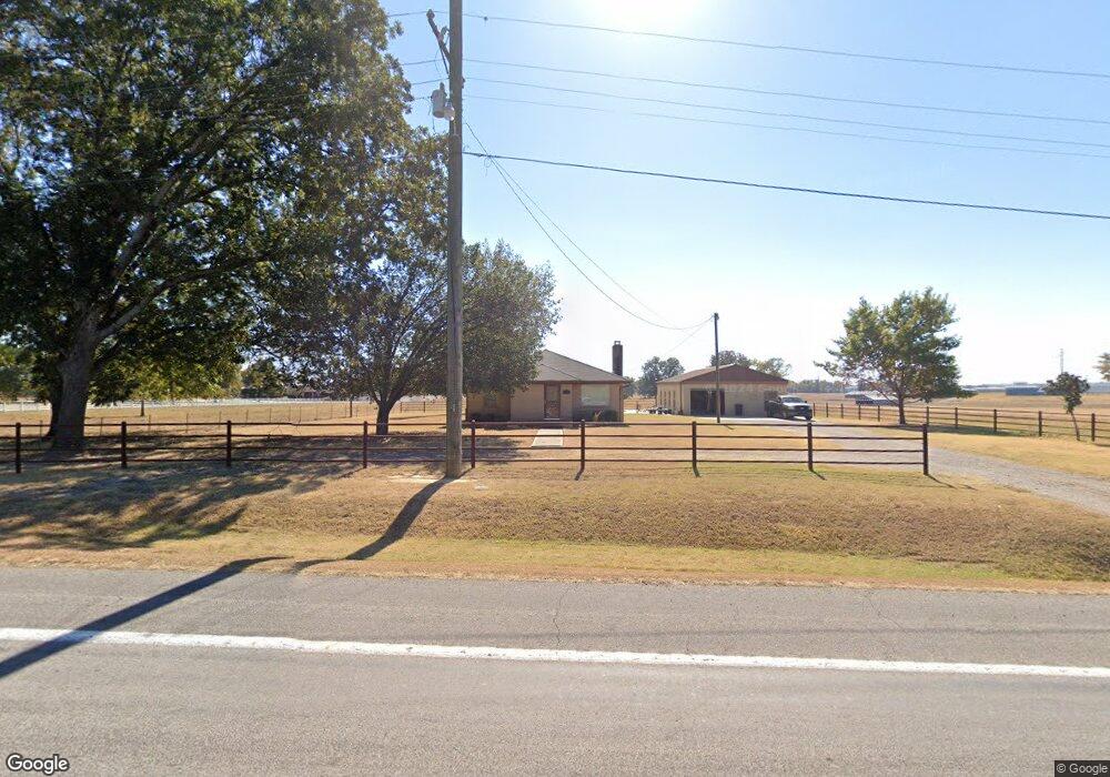
3017 Mulberry Highway 64 W Mulberry, AR 72947
Estimated Value: $185,671 - $260,000
--
Bed
1
Bath
1,512
Sq Ft
$157/Sq Ft
Est. Value
About This Home
This home is located at 3017 Mulberry Highway 64 W, Mulberry, AR 72947 and is currently estimated at $236,918, approximately $156 per square foot. 3017 Mulberry Highway 64 W is a home located in Crawford County with nearby schools including Marvin Primary School, Pleasant View Junior High School, and Mulberry High School.
Ownership History
Date
Name
Owned For
Owner Type
Purchase Details
Closed on
Aug 12, 2013
Sold by
4066 Coyote Drive Llc
Bought by
Higgins Dewayne and Higgins Deborah
Current Estimated Value
Purchase Details
Closed on
Nov 3, 2005
Sold by
Axioo Construction Inc
Bought by
Rankin Ronnie Reeves and Rankin Nancy Florence
Home Financials for this Owner
Home Financials are based on the most recent Mortgage that was taken out on this home.
Original Mortgage
$22,000
Interest Rate
5.75%
Mortgage Type
Future Advance Clause Open End Mortgage
Purchase Details
Closed on
Jun 28, 1995
Bought by
Stapleton-Rankin
Create a Home Valuation Report for This Property
The Home Valuation Report is an in-depth analysis detailing your home's value as well as a comparison with similar homes in the area
Home Values in the Area
Average Home Value in this Area
Purchase History
| Date | Buyer | Sale Price | Title Company |
|---|---|---|---|
| Higgins Dewayne | $150,000 | None Available | |
| Rankin Ronnie Reeves | -- | -- | |
| Stapleton-Rankin | $75,000 | -- |
Source: Public Records
Mortgage History
| Date | Status | Borrower | Loan Amount |
|---|---|---|---|
| Previous Owner | Rankin Ronnie Reeves | $22,000 |
Source: Public Records
Tax History Compared to Growth
Tax History
| Year | Tax Paid | Tax Assessment Tax Assessment Total Assessment is a certain percentage of the fair market value that is determined by local assessors to be the total taxable value of land and additions on the property. | Land | Improvement |
|---|---|---|---|---|
| 2025 | $1,125 | $27,960 | $6,580 | $21,380 |
| 2024 | $1,042 | $27,960 | $6,580 | $21,380 |
| 2023 | $916 | $27,130 | $6,580 | $20,550 |
| 2022 | $828 | $15,860 | $3,690 | $12,170 |
| 2021 | $772 | $15,860 | $3,690 | $12,170 |
| 2020 | $772 | $15,860 | $3,690 | $12,170 |
| 2019 | $772 | $15,860 | $3,690 | $12,170 |
| 2018 | $772 | $15,860 | $3,690 | $12,170 |
| 2017 | $704 | $15,010 | $3,690 | $11,320 |
| 2016 | $704 | $15,010 | $3,690 | $11,320 |
| 2015 | $704 | $15,010 | $3,690 | $11,320 |
| 2014 | $704 | $15,010 | $3,690 | $11,320 |
Source: Public Records
Map
Nearby Homes
- 3042 Mulberry Highway 64 W
- TBD Exsorbet Dr
- TBD Industrial Park Dr
- 3218 Mulberry Wire Rd
- 3032 King Dr
- TBD (lot 29) Keystone Dr
- TBD (lot 30) Keystone Dr
- 1321 Old Graphic St
- 2034 Mulberry Wire Rd
- 3819 Ridgemont Estate
- 10110 Booth Rd
- TBD Goff Cir
- 2150 Old Graphic St
- 5319 Chastain Rd
- 2500 River Vista Dr
- TBD Duncan Rd
- 205 N Main St
- 223 S Main St
- 317 S Main St
- 829 W Line St
- 3042 U S 64
- 2939 Mulberry Highway 64 W
- 2826 Mulberry Highway 64 W
- 3220 Mulberry Highway 64 W
- 836 Marla Ln
- 3210 Mulberry Highway 64 W
- 3226 Mulberry Highway 64 W
- 2835 Mulberry Highway 64 W
- 2805 Mulberry Highway 64 W
- 750 Marla Ln
- One Exsorbet Dr
- 2711 Mulberry Highway 64 W
- 919 N Hamtown Rd
- 0 Exsorbet Dr
- 809 N Hamtown Rd
- 3500 U S 64
- 3334 Mulberry Highway 64 W
- 2638 Mulberry Highway 64 W
- 3420 Mulberry Highway 64 W
- 1020 N Hamtown Rd