Estimated Value: $1,542,000 - $1,821,000
5
Beds
4
Baths
3,474
Sq Ft
$472/Sq Ft
Est. Value
About This Home
This home is located at 30176 S 587 Cir, Grove, OK 74344 and is currently estimated at $1,640,662, approximately $472 per square foot. 30176 S 587 Cir is a home located in Delaware County with nearby schools including Grove Lower Elementary School, Grove Upper Elementary School, and Grove Middle School.
Ownership History
Date
Name
Owned For
Owner Type
Purchase Details
Closed on
Jun 6, 2022
Sold by
Davoli Ii Michael J
Bought by
Susan S Baden Revocable Trust
Current Estimated Value
Purchase Details
Closed on
Feb 28, 2014
Sold by
Sweet Cheryl Trust
Bought by
Davoli Third Family Limited
Purchase Details
Closed on
Jun 4, 2013
Sold by
Kopp Arthur W and Kopp Nancy L
Bought by
Sweet Cheryl and The Cheryl Sweet Trust
Purchase Details
Closed on
May 27, 1993
Sold by
Rockford Resources Inc
Create a Home Valuation Report for This Property
The Home Valuation Report is an in-depth analysis detailing your home's value as well as a comparison with similar homes in the area
Home Values in the Area
Average Home Value in this Area
Purchase History
| Date | Buyer | Sale Price | Title Company |
|---|---|---|---|
| Susan S Baden Revocable Trust | $1,390,000 | None Listed On Document | |
| Davoli Third Family Limited | $750,000 | -- | |
| Sweet Cheryl | $140,000 | None Available | |
| -- | $48,500 | -- |
Source: Public Records
Tax History Compared to Growth
Tax History
| Year | Tax Paid | Tax Assessment Tax Assessment Total Assessment is a certain percentage of the fair market value that is determined by local assessors to be the total taxable value of land and additions on the property. | Land | Improvement |
|---|---|---|---|---|
| 2025 | $13,086 | $159,850 | $18,594 | $141,256 |
| 2024 | $13,086 | $159,850 | $18,594 | $141,256 |
| 2023 | $13,094 | $159,850 | $17,991 | $141,859 |
| 2022 | $6,822 | $81,696 | $17,876 | $63,820 |
| 2021 | $6,806 | $81,696 | $17,876 | $63,820 |
| 2020 | $6,921 | $81,696 | $17,876 | $63,820 |
| 2019 | $6,947 | $81,696 | $17,876 | $63,820 |
| 2018 | $6,933 | $81,696 | $17,876 | $63,820 |
| 2017 | $6,956 | $81,696 | $17,876 | $63,820 |
| 2016 | $6,952 | $81,696 | $17,876 | $63,820 |
| 2015 | $7,052 | $81,696 | $17,876 | $63,820 |
| 2014 | $1,341 | $15,456 | $15,456 | $0 |
Source: Public Records
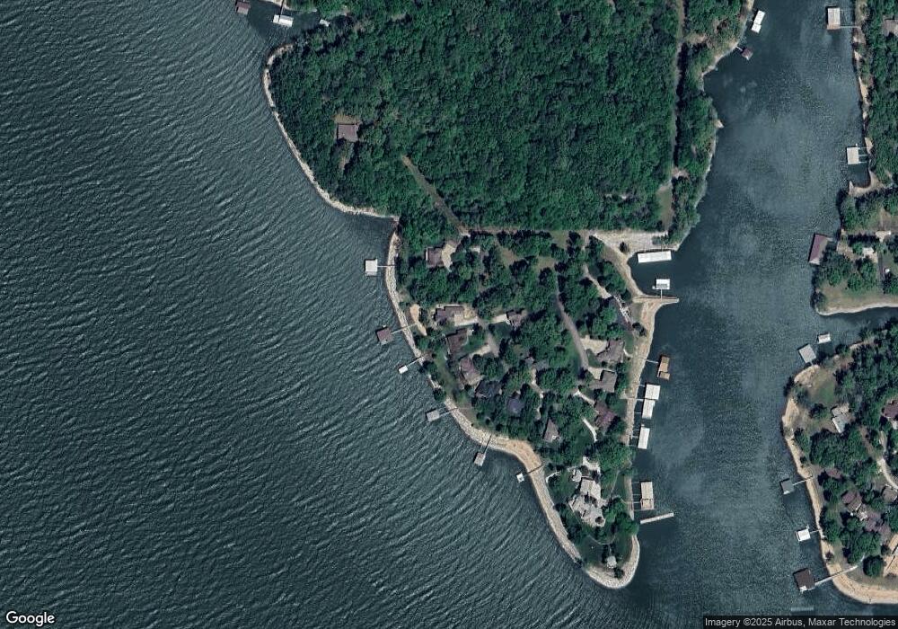
Map
Nearby Homes
- 29641 S 586 Ln
- 58551 E 296 Place
- 29524 S 585 Ct
- TBD S 585 Ct
- TBD S 592 Place
- 6026 Lake Breeze Rd
- 4451 W 20th Rd
- 402 Fairway Cir
- 29901 S 595 Rd
- 56901 E Walnut Dr
- Lot 103 S 567 Rd
- 29997 S 567 Rd
- 29997 S 567 Rd
- 5070 Lake Breeze Rd
- 4926 Lost Cove Rd
- 57450 E Highway 125 Unit 535
- 0 57450 E 125 Hwy Unit #579
- 0 Parker Rd
- 57450 E Hwy 125 Unit 533
- 57450 E Highway 125
- 30150 S 587 Cir
- 30103 S 587 Cir
- 30101 S 587 Cir
- 30101 S 587 Cir
- 30101 S 587 Cir
- 0 S 587 Cir
- 30020 S 587 Cir
- 30138 S 587 Cir
- 30030 S 587 Cir
- 30130 S 587 Cir
- 30010 S 587 Cir
- 30110 S 587 Cir
- 30040 S 587 Cir
- 30100 S 587 Cir
- 58495 E 297 Rd
- 58435 E 297 Ln
- 29751 S 584 Way
- 29770 S 587 Rd
- 58433 E 297 Ln
- 36800 E 300 Rd