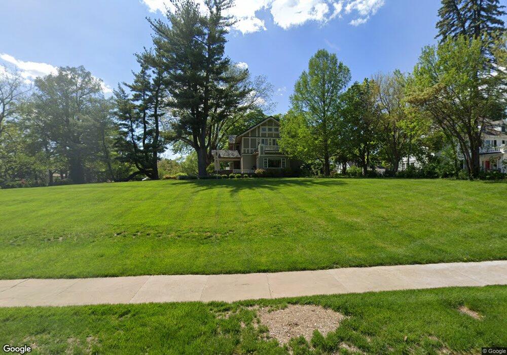
3018 Ashland Ave Saint Joseph, MO 64506
Lovers Lane NeighborhoodEstimated Value: $488,000 - $887,000
6
Beds
5
Baths
2,515
Sq Ft
$248/Sq Ft
Est. Value
About This Home
This home is located at 3018 Ashland Ave, Saint Joseph, MO 64506 and is currently estimated at $624,820, approximately $248 per square foot. 3018 Ashland Ave is a home located in Buchanan County with nearby schools including Field Elementary School, Bode Middle School, and Central High School.
Ownership History
Date
Name
Owned For
Owner Type
Purchase Details
Closed on
Sep 9, 2022
Sold by
Francisco Lammoglia
Bought by
Johnson Nathan D and Johnson Alyssa S
Current Estimated Value
Home Financials for this Owner
Home Financials are based on the most recent Mortgage that was taken out on this home.
Original Mortgage
$551,000
Outstanding Balance
$526,626
Interest Rate
5.3%
Mortgage Type
New Conventional
Estimated Equity
$98,194
Purchase Details
Closed on
Jan 25, 2010
Sold by
Lammoglia Roselma C
Bought by
Lammoglia Francisco
Create a Home Valuation Report for This Property
The Home Valuation Report is an in-depth analysis detailing your home's value as well as a comparison with similar homes in the area
Home Values in the Area
Average Home Value in this Area
Purchase History
| Date | Buyer | Sale Price | Title Company |
|---|---|---|---|
| Johnson Nathan D | -- | -- | |
| Lammoglia Francisco | -- | None Available |
Source: Public Records
Mortgage History
| Date | Status | Borrower | Loan Amount |
|---|---|---|---|
| Open | Johnson Nathan D | $551,000 |
Source: Public Records
Tax History Compared to Growth
Tax History
| Year | Tax Paid | Tax Assessment Tax Assessment Total Assessment is a certain percentage of the fair market value that is determined by local assessors to be the total taxable value of land and additions on the property. | Land | Improvement |
|---|---|---|---|---|
| 2024 | $3,380 | $47,010 | $10,450 | $36,560 |
| 2023 | $3,380 | $47,010 | $10,450 | $36,560 |
| 2022 | $3,121 | $47,010 | $10,450 | $36,560 |
| 2021 | $3,135 | $47,010 | $10,450 | $36,560 |
| 2020 | $3,115 | $47,010 | $10,450 | $36,560 |
| 2019 | $3,010 | $47,010 | $10,450 | $36,560 |
| 2018 | $2,719 | $47,010 | $10,450 | $36,560 |
| 2017 | $2,694 | $47,010 | $0 | $0 |
| 2015 | $2 | $47,010 | $0 | $0 |
| 2014 | $2,952 | $47,010 | $0 | $0 |
Source: Public Records
Map
Nearby Homes
- 3028 Ashland Ave
- 3015 Miller Rd
- 3128 Floral Ave
- 2519 Forest Ave
- 3815 Miller Rd
- 3004 C Garden Gate N A N
- 3315 Chatham Ave
- 3326 Chatham Ave
- 00 Lot 2 Highway 169
- 00 Lot 1 Highway 169
- 3111 N 35th St
- 3412 N 35th Place
- 2906 Cook Rd
- 2110 Ashland Ave
- 3103 Cook Rd
- 2715 Cook Rd
- 2211 Lovers Ln
- 4411 Rochester Rd
- 3309 Westwood Dr
- 4301 N 169 Hwy
- 3022 Ashland Ave
- 3024 Ashland Ave
- 4 Holley Cir
- 3024 Floral Ave
- 3 Holley Cir
- 9 Holley Cir
- 3003 Ashland Ave
- 2923 Ashland Ave
- 3005 Ashland Ave
- 3000 Ashland Ave
- 5 Holley Cir
- 2 Holley Cir
- 3007 Ashland Ave
- 8 Holley Cir
- 3016 Summit Ave
- 2922 Lovers Ln
- 2903 Ashland Ave
- 3009 Ashland Ave
- 2910 Lovers Ln
- 1 Holley Cir