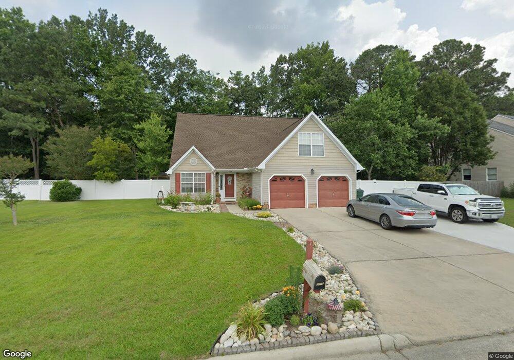
3018 Driver Station Way W Suffolk, VA 23435
Sleepy Hole NeighborhoodEstimated Value: $453,769 - $496,000
4
Beds
3
Baths
2,000
Sq Ft
$234/Sq Ft
Est. Value
About This Home
This home is located at 3018 Driver Station Way W, Suffolk, VA 23435 and is currently estimated at $468,942, approximately $234 per square foot. 3018 Driver Station Way W is a home located in Suffolk City with nearby schools including Driver Elementary School, John Yeates Middle School, and Nansemond River High School.
Ownership History
Date
Name
Owned For
Owner Type
Purchase Details
Closed on
May 24, 2016
Sold by
Whetsel Now Known As Sherry Byrum Sherry N
Bought by
Beckner James W and Beckner Sherri L
Current Estimated Value
Home Financials for this Owner
Home Financials are based on the most recent Mortgage that was taken out on this home.
Original Mortgage
$255,290
Outstanding Balance
$202,963
Interest Rate
3.62%
Mortgage Type
FHA
Estimated Equity
$265,979
Purchase Details
Closed on
Jul 24, 2013
Sold by
Ward Carl M
Bought by
Whetsel Sherry N
Home Financials for this Owner
Home Financials are based on the most recent Mortgage that was taken out on this home.
Original Mortgage
$223,200
Interest Rate
3.97%
Mortgage Type
New Conventional
Create a Home Valuation Report for This Property
The Home Valuation Report is an in-depth analysis detailing your home's value as well as a comparison with similar homes in the area
Home Values in the Area
Average Home Value in this Area
Purchase History
| Date | Buyer | Sale Price | Title Company |
|---|---|---|---|
| Beckner James W | $260,000 | Attorney | |
| Whetsel Sherry N | $248,000 | -- |
Source: Public Records
Mortgage History
| Date | Status | Borrower | Loan Amount |
|---|---|---|---|
| Open | Beckner James W | $255,290 | |
| Previous Owner | Whetsel Sherry N | $223,200 |
Source: Public Records
Tax History Compared to Growth
Tax History
| Year | Tax Paid | Tax Assessment Tax Assessment Total Assessment is a certain percentage of the fair market value that is determined by local assessors to be the total taxable value of land and additions on the property. | Land | Improvement |
|---|---|---|---|---|
| 2024 | $4,643 | $395,000 | $85,000 | $310,000 |
| 2023 | $4,620 | $373,800 | $85,000 | $288,800 |
| 2022 | $3,672 | $336,900 | $85,000 | $251,900 |
| 2021 | $3,142 | $283,100 | $73,200 | $209,900 |
| 2020 | $3,051 | $274,900 | $73,200 | $201,700 |
| 2019 | $2,873 | $258,800 | $73,200 | $185,600 |
| 2018 | $2,842 | $258,200 | $73,200 | $185,000 |
| 2017 | $2,695 | $251,900 | $73,200 | $178,700 |
| 2016 | $2,548 | $238,100 | $73,200 | $164,900 |
| 2015 | $1,245 | $238,100 | $73,200 | $164,900 |
| 2014 | $1,245 | $225,700 | $73,200 | $152,500 |
Source: Public Records
Map
Nearby Homes
- 3010 Beech Grove Ln
- 3019 Dalton Cir
- Lot 30 Patrick Dr
- 3023 Dalton Cir
- 3029 Dalton Cir
- 3014 Dalton Cir
- 3017 Dalton Cir
- 3021 Dalton Cir
- 2226 Patrick Dr
- 3032 Dalton Cir
- 3031 Dalton Cir
- 2221 Patrick Dr
- 2213 Patrick Dr
- 2228 Patrick Dr
- 2241 Patrick Dr
- 2030 Canvasback Dr
- 2230 Patrick Dr
- 3109 Driver Station Way
- 3102 Caroline Crescent
- 4500 Bennetts Pasture Rd
- 3016 Driver Station Way W
- 3020 Driver Station Way W
- 3017 Driver Station Way W
- 3014 Driver Station Way W
- 4403 Bruce Farm Dr
- 4000 Bruce Farm Dr
- 3015 Driver Station Way W
- 3017 Beech Grove Ln
- 3012 Driver Station Way W
- 4400 Bruce Farm Dr
- 4405 Bruce Farm Dr
- 3013 Beech Grove Ln
- 4402 Bruce Farm Dr
- 1006 Erin Dr
- 4404 Bruce Farm Dr
- 3011 Beech Grove Ln
- 4400 Carter Ln
- 4402 Carter Ln
- 1008 Erin Dr
- 3016 Beech Grove Ln