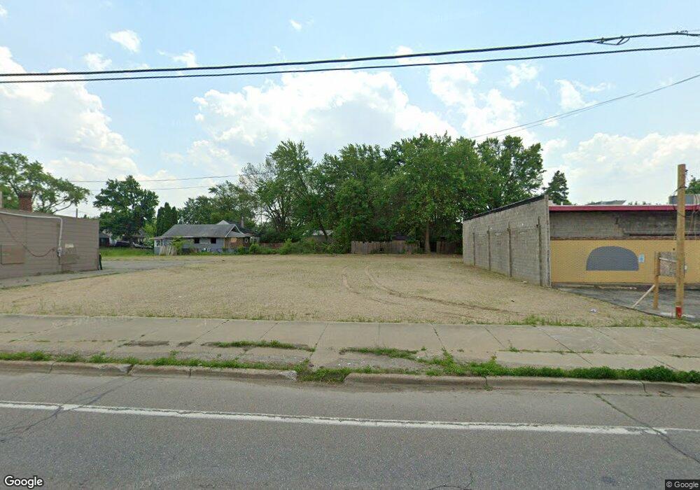
3019 Corunna Rd Flint, MI 48503
Mannhall Park NeighborhoodEstimated Value: $60,650
--
Bed
--
Bath
2,432
Sq Ft
$25/Sq Ft
Est. Value
About This Home
This home is located at 3019 Corunna Rd, Flint, MI 48503 and is currently estimated at $60,650, approximately $24 per square foot. 3019 Corunna Rd is a home located in Genesee County with nearby schools including Durant-Tuuri-Mott Elementary School, Flint Southwestern Classical Academy, and St. Paul Lutheran School.
Ownership History
Date
Name
Owned For
Owner Type
Purchase Details
Closed on
Nov 7, 2023
Sold by
3019 Corunna Llc
Bought by
B & A Fam Llc
Current Estimated Value
Purchase Details
Closed on
Aug 6, 2014
Sold by
Pfaff Kenneth W and Pfaff Joanne
Bought by
3019 Corunna Llc
Purchase Details
Closed on
Jun 27, 2001
Sold by
Cocking Warren
Bought by
Pfaff Kenneth W
Purchase Details
Closed on
Jul 10, 1997
Sold by
Lewis Lena M and Hughes Margaret Ann
Bought by
Pfaff Kenneth W
Purchase Details
Closed on
Oct 19, 1993
Sold by
Bleau Thomas J and Bankruptcy Estate Of Lena Marg
Bought by
Pfaff Kenneth and Pfaff Marlene
Create a Home Valuation Report for This Property
The Home Valuation Report is an in-depth analysis detailing your home's value as well as a comparison with similar homes in the area
Home Values in the Area
Average Home Value in this Area
Purchase History
| Date | Buyer | Sale Price | Title Company |
|---|---|---|---|
| B & A Fam Llc | $55,000 | None Listed On Document | |
| 3019 Corunna Llc | $103,000 | Cislo Title Co | |
| 3019 Corunna Llc | -- | Cislo Title Co | |
| Pfaff Kenneth W | -- | Cislo Title Co | |
| Pfaff Kenneth W | -- | -- | |
| Pfaff Kenneth W | $30,000 | -- | |
| Pfaff Kenneth | $37,622 | -- |
Source: Public Records
Tax History Compared to Growth
Tax History
| Year | Tax Paid | Tax Assessment Tax Assessment Total Assessment is a certain percentage of the fair market value that is determined by local assessors to be the total taxable value of land and additions on the property. | Land | Improvement |
|---|---|---|---|---|
| 2025 | $2,865 | $40,200 | $0 | $0 |
| 2024 | $2,596 | $39,200 | $0 | $0 |
| 2023 | $2,177 | $32,400 | $0 | $0 |
| 2022 | $0 | $80,100 | $0 | $0 |
| 2021 | $5,890 | $116,000 | $0 | $0 |
| 2020 | $5,272 | $115,200 | $0 | $0 |
| 2019 | $5,050 | $104,000 | $0 | $0 |
| 2018 | $5,350 | $99,300 | $0 | $0 |
| 2017 | $5,240 | $0 | $0 | $0 |
| 2016 | $5,127 | $0 | $0 | $0 |
| 2015 | -- | $0 | $0 | $0 |
| 2014 | -- | $0 | $0 | $0 |
| 2012 | -- | $75,900 | $0 | $0 |
Source: Public Records
Map
Nearby Homes
- 1202 Knapp Ave
- 1017 Stocker Ave
- 1122 Stocker Ave
- 1010 Hughes Ave
- 2913 Gibson St
- 1318 Knapp Ave
- 1114 Clancy Ave
- 1126 Clancy Ave
- 1326 Hughes Ave
- 1217 Barney Ave
- 1414 Knapp Ave
- 3413 Augusta St
- 996 Barney Ave
- 1308 Barney Ave
- 2710 Reynolds St
- 960 Mann Ave
- 976 Barney Ave
- 3217 Arlene Ave
- 1006 Hammond Ave
- 911 Hughes Ave
- 3009 Corunna Rd
- 1121 Knapp Ave
- 1114 Hughes Ave
- 1114 Knapp Ave
- 3018 Corunna Rd
- 3001 Corunna Rd
- 1120 Hughes Ave
- 1118 Knapp Ave
- 1127 Knapp Ave
- 1124 Hughes Ave
- 1122 Knapp Ave
- 1201 Knapp Ave
- 1128 Hughes Ave
- 1126 Knapp Ave
- 1119 Stocker Ave
- 2932 Corunna Rd
- 3112 Corunna Rd
- 1205 Knapp Ave
- 1202 Hughes Ave
- 1123 Stocker Ave