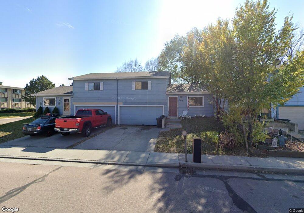
3019 E Dale St Colorado Springs, CO 80909
Austin Estates NeighborhoodEstimated Value: $232,000 - $298,000
2
Beds
1
Bath
952
Sq Ft
$279/Sq Ft
Est. Value
About This Home
This home is located at 3019 E Dale St, Colorado Springs, CO 80909 and is currently estimated at $265,156, approximately $278 per square foot. 3019 E Dale St is a home located in El Paso County with nearby schools including Twain Elementary School, Galileo School Of Math And Science, and Mitchell High School.
Ownership History
Date
Name
Owned For
Owner Type
Purchase Details
Closed on
May 12, 2017
Sold by
Brantley Shelley A
Bought by
Madrigal Brian C
Current Estimated Value
Purchase Details
Closed on
Nov 7, 2009
Sold by
Brantley Shelley A
Bought by
Brantley George S
Purchase Details
Closed on
May 21, 2008
Sold by
Wells Fargo Bank Na
Bought by
Brantley George S and Brantley Shelley A
Purchase Details
Closed on
Oct 15, 2004
Sold by
The Help Fund Corp
Bought by
Sobczak Robert M
Home Financials for this Owner
Home Financials are based on the most recent Mortgage that was taken out on this home.
Original Mortgage
$93,600
Interest Rate
6.9%
Mortgage Type
Unknown
Purchase Details
Closed on
Jun 25, 1993
Bought by
Madrigal Brian C
Purchase Details
Closed on
Nov 4, 1983
Bought by
Madrigal Brian C
Create a Home Valuation Report for This Property
The Home Valuation Report is an in-depth analysis detailing your home's value as well as a comparison with similar homes in the area
Home Values in the Area
Average Home Value in this Area
Purchase History
| Date | Buyer | Sale Price | Title Company |
|---|---|---|---|
| Madrigal Brian C | -- | None Available | |
| Brantley George S | -- | None Available | |
| Brantley George S | $65,000 | Security Title | |
| Sobczak Robert M | $117,000 | -- | |
| Madrigal Brian C | $63,400 | -- | |
| Madrigal Brian C | -- | -- |
Source: Public Records
Mortgage History
| Date | Status | Borrower | Loan Amount |
|---|---|---|---|
| Previous Owner | Sobczak Robert M | $93,600 | |
| Closed | Sobczak Robert M | $23,400 |
Source: Public Records
Tax History Compared to Growth
Tax History
| Year | Tax Paid | Tax Assessment Tax Assessment Total Assessment is a certain percentage of the fair market value that is determined by local assessors to be the total taxable value of land and additions on the property. | Land | Improvement |
|---|---|---|---|---|
| 2025 | $662 | $17,150 | -- | -- |
| 2024 | $556 | $16,270 | $3,620 | $12,650 |
| 2022 | $713 | $12,740 | $2,640 | $10,100 |
| 2021 | $774 | $13,110 | $2,720 | $10,390 |
| 2020 | $565 | $8,330 | $1,070 | $7,260 |
| 2019 | $562 | $8,330 | $1,070 | $7,260 |
| 2018 | $482 | $6,570 | $940 | $5,630 |
| 2017 | $457 | $6,570 | $940 | $5,630 |
| 2016 | $373 | $6,440 | $1,030 | $5,410 |
| 2015 | $372 | $6,440 | $1,030 | $5,410 |
| 2014 | $391 | $6,490 | $1,030 | $5,460 |
Source: Public Records
Map
Nearby Homes
- 834 Tia Juana St
- 806 Querida Dr
- 921 Holmes Dr
- 839 Querida Dr
- 906 Bowser Dr
- 1010 Holmes Dr
- 517 Yuma St
- 2609 E Monument St
- 1004 Wynkoop Dr
- 919 Bennett Ave
- 1226 Holmes Dr
- 3020 E Bijou St Unit 1B
- 3020 E Bijou St Unit 5A
- 1227 Holmes Dr
- 1214 Bowser Dr
- 2524 1/2 E Willamette Ave
- 2627 E Uintah St
- 2625 E Uintah St
- 3118 E San Miguel St
- 705 E Hills Rd
- 3017 E Dale St
- 3021 E Dale St
- 3015 E Dale St
- 804 Arrawanna Ct
- 733 Tia Juana St
- 3105 E Dale St
- 808 Arrawanna Ct
- 806 Hennessy Ct
- 812 Arrawanna Ct
- 704 Arrawanna St
- 807 Arrawanna Ct
- 711 Tia Juana St
- 816 Arrawanna Ct
- 814 Hennessy Ct
- 801 Tia Juana St
- 811 Arrawanna Ct
- 820 Arrawanna Ct
- 803 Tia Juana St
- 822 Hennessy Ct
- 806 Don Juan Ct