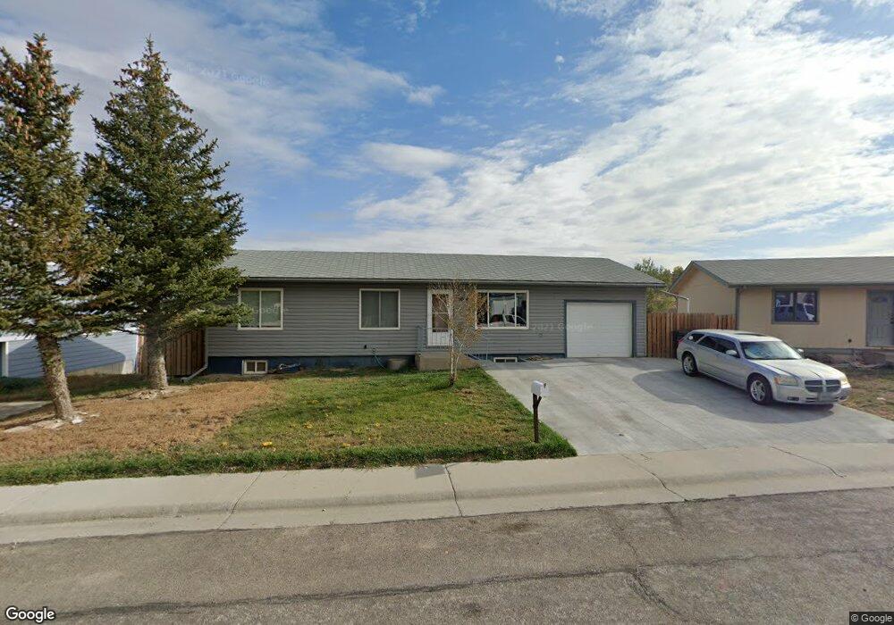
3019 Pheasant Dr Casper, WY 82604
West Casper NeighborhoodEstimated Value: $291,000 - $352,000
4
Beds
3
Baths
2,916
Sq Ft
$111/Sq Ft
Est. Value
About This Home
This home is located at 3019 Pheasant Dr, Casper, WY 82604 and is currently estimated at $323,945, approximately $111 per square foot. 3019 Pheasant Dr is a home located in Natrona County with nearby schools including Mount Hope Lutheran School and St. Anthony Tri-Parish Catholic School.
Ownership History
Date
Name
Owned For
Owner Type
Purchase Details
Closed on
May 31, 2024
Sold by
Whitlock William R and Whitlock Tina M
Bought by
Harley Andrew and Stuart Meghan
Current Estimated Value
Home Financials for this Owner
Home Financials are based on the most recent Mortgage that was taken out on this home.
Original Mortgage
$299,475
Outstanding Balance
$294,714
Interest Rate
7.17%
Mortgage Type
FHA
Estimated Equity
$29,231
Create a Home Valuation Report for This Property
The Home Valuation Report is an in-depth analysis detailing your home's value as well as a comparison with similar homes in the area
Home Values in the Area
Average Home Value in this Area
Purchase History
| Date | Buyer | Sale Price | Title Company |
|---|---|---|---|
| Harley Andrew | -- | Rocky Mountain Title |
Source: Public Records
Mortgage History
| Date | Status | Borrower | Loan Amount |
|---|---|---|---|
| Open | Harley Andrew | $299,475 |
Source: Public Records
Tax History
| Year | Tax Paid | Tax Assessment Tax Assessment Total Assessment is a certain percentage of the fair market value that is determined by local assessors to be the total taxable value of land and additions on the property. | Land | Improvement |
|---|---|---|---|---|
| 2025 | $1,715 | $23,878 | $3,355 | $20,523 |
| 2024 | $1,992 | $27,745 | $4,847 | $22,898 |
| 2023 | $1,912 | $26,236 | $4,186 | $22,050 |
| 2022 | $1,805 | $24,763 | $3,704 | $21,059 |
| 2021 | $1,677 | $23,005 | $3,395 | $19,610 |
| 2020 | $1,586 | $21,765 | $6,886 | $14,879 |
| 2019 | $1,437 | $19,717 | $3,615 | $16,102 |
| 2018 | $1,456 | $19,971 | $3,615 | $16,356 |
| 2017 | $1,604 | $22,004 | $3,615 | $18,389 |
| 2015 | $1,022 | $14,021 | $3,615 | $10,406 |
| 2014 | $1,010 | $13,853 | $3,615 | $10,238 |
Source: Public Records
Map
Nearby Homes
- 2972 Central Dr
- 2883 Casa Grande Dr
- 3679 Timber Wolf Ct
- 3250 Patriot Dr
- 7300 Wyoming 220
- 3685 Red Wolf Dr
- 3723 Dancing Wolf Dr
- 2110 Kingsboro Rd
- 3300 Navarre Rd
- 3410 Eagle Dr
- 3945 W 38th St
- 1960 Brentwood Dr
- 2940 Saratoga Rd
- 4341 Bobcat
- 4411 Bobcat
- 0 Wyoming 220
- 2956 Knollwood Dr
- 4431 Moose
- 2153 W 42nd St
- 4221 S Coffman Ave
- 3021 Pheasant Dr
- 3017 Pheasant Dr
- 3023 Pheasant Dr
- 3015 Pheasant Dr
- 3016 Pheasant Dr
- 3018 Pheasant Dr
- 3020 Pheasant Dr
- 3025 Pheasant Dr
- 3025 Pheasant Dr Unit Meadowlark
- 3025 Pheasant Dr Unit Meadowlark Dr
- 3014 Pheasant Dr
- 2950 Pheasant Dr
- 2952 Pheasant Dr
- 2948 Pheasant Dr
- 3011 Pheasant Dr
- 2954 Pheasant Dr
- 3022 Pheasant Dr
- 3027 Pheasant Dr
- 2946 Pheasant Dr
- 3012 Pheasant Dr
Your Personal Tour Guide
Ask me questions while you tour the home.