3019 Port Clinton Rd Fremont, OH 43420
Estimated Value: $338,000 - $398,000
4
Beds
4
Baths
2,360
Sq Ft
$154/Sq Ft
Est. Value
About This Home
This home is located at 3019 Port Clinton Rd, Fremont, OH 43420 and is currently estimated at $362,387, approximately $153 per square foot. 3019 Port Clinton Rd is a home located in Sandusky County with nearby schools including Fremont Ross High School, St. Ann Catholic School, and St. Joseph School.
Ownership History
Date
Name
Owned For
Owner Type
Purchase Details
Closed on
Dec 27, 2017
Sold by
Fisher Marlene and Fisher Daniel R
Bought by
Fisher Daniel R
Current Estimated Value
Purchase Details
Closed on
Jul 1, 1990
Sold by
Fisher Daniel R and Fisher Marle
Bought by
Fisher Daniel R and Fisher Marlene
Purchase Details
Closed on
Jun 1, 1986
Bought by
Fisher Daniel R and Fisher Marlene
Create a Home Valuation Report for This Property
The Home Valuation Report is an in-depth analysis detailing your home's value as well as a comparison with similar homes in the area
Home Values in the Area
Average Home Value in this Area
Purchase History
| Date | Buyer | Sale Price | Title Company |
|---|---|---|---|
| Fisher Daniel R | -- | None Available | |
| Fisher Daniel R | $127,500 | -- | |
| Fisher Daniel R | $120,000 | -- |
Source: Public Records
Tax History Compared to Growth
Tax History
| Year | Tax Paid | Tax Assessment Tax Assessment Total Assessment is a certain percentage of the fair market value that is determined by local assessors to be the total taxable value of land and additions on the property. | Land | Improvement |
|---|---|---|---|---|
| 2024 | $3,816 | $111,170 | $22,160 | $89,010 |
| 2023 | $3,816 | $88,900 | $17,710 | $71,190 |
| 2022 | $3,207 | $88,900 | $17,710 | $71,190 |
| 2021 | $3,308 | $88,900 | $17,710 | $71,190 |
| 2020 | $3,136 | $83,480 | $17,710 | $65,770 |
| 2019 | $3,132 | $83,480 | $17,710 | $65,770 |
| 2018 | $3,054 | $81,480 | $17,710 | $63,770 |
| 2017 | $2,820 | $75,670 | $17,710 | $57,960 |
| 2016 | $2,485 | $75,670 | $17,710 | $57,960 |
| 2015 | $2,444 | $75,670 | $17,710 | $57,960 |
| 2014 | $2,558 | $75,470 | $18,870 | $56,600 |
| 2013 | $2,504 | $75,470 | $18,870 | $56,600 |
Source: Public Records
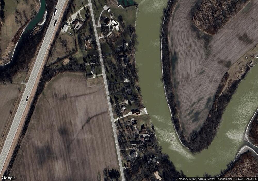
Map
Nearby Homes
- 0 Sean Dr
- Outlot A Sean Dr
- 2219 Oak Harbor Rd
- 1730 Port Clinton Rd Unit 41
- 1730 Port Clinton Rd
- 1730 Port Clinton Rd Unit 33
- 2100 Ohio 53
- 711 Bloom Rd
- 1441 White Ave
- 1227 White Ave
- 900 Spring St
- 1720 North St
- 1707 North St
- 711 Rawson Ave
- 612 2nd St
- 533 Sandusky Ave Unit 535
- 818 Franklin Ave
- 927 Wolfe Ave
- 433 Sandusky Ave
- 516 N Front St
- 3015 Port Clinton Rd
- 3031 Port Clinton Rd
- 3003 Port Clinton Rd
- 3001 Port Clinton Rd
- 3043 Port Clinton Rd
- 2949 Port Clinton Rd
- 3040 Port Clinton Rd
- 3048 Port Clinton Rd
- 2937 Port Clinton Rd
- 3051 Port Clinton Rd
- 2931 Port Clinton Rd Unit 1
- 3112 Port Clinton Rd
- 2921 Port Clinton Rd
- 2913 Port Clinton Rd
- 3117 Port Clinton Rd
- 2841 Port Clinton Rd
- 2911 Port Clinton Rd
- 3180 Port Clinton Rd
- 2840 Port Clinton Rd
- 414 Stewart Dr