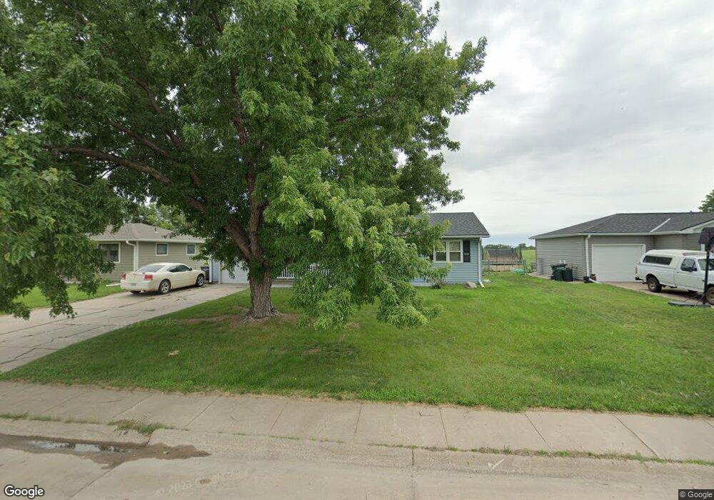
3019 W 7th St Hastings, NE 68901
Estimated Value: $245,369 - $257,000
3
Beds
2
Baths
1,371
Sq Ft
$183/Sq Ft
Est. Value
About This Home
This home is located at 3019 W 7th St, Hastings, NE 68901 and is currently estimated at $250,842, approximately $182 per square foot. 3019 W 7th St is a home located in Adams County with nearby schools including Hastings Senior High School, St. Michael's Preschool & Elementary School, and Zion Lutheran School.
Ownership History
Date
Name
Owned For
Owner Type
Purchase Details
Closed on
Jan 27, 2021
Sold by
Nissen Martin R and Nissen Jody A
Bought by
Ellis Dale L and Ellis Anna M
Current Estimated Value
Home Financials for this Owner
Home Financials are based on the most recent Mortgage that was taken out on this home.
Original Mortgage
$147,200
Outstanding Balance
$131,654
Interest Rate
2.7%
Mortgage Type
New Conventional
Estimated Equity
$119,188
Create a Home Valuation Report for This Property
The Home Valuation Report is an in-depth analysis detailing your home's value as well as a comparison with similar homes in the area
Home Values in the Area
Average Home Value in this Area
Purchase History
| Date | Buyer | Sale Price | Title Company |
|---|---|---|---|
| Ellis Dale L | $184,000 | Prairie Title |
Source: Public Records
Mortgage History
| Date | Status | Borrower | Loan Amount |
|---|---|---|---|
| Open | Ellis Dale L | $147,200 |
Source: Public Records
Tax History Compared to Growth
Tax History
| Year | Tax Paid | Tax Assessment Tax Assessment Total Assessment is a certain percentage of the fair market value that is determined by local assessors to be the total taxable value of land and additions on the property. | Land | Improvement |
|---|---|---|---|---|
| 2024 | $3,123 | $194,258 | $26,950 | $167,308 |
| 2023 | $3,654 | $177,098 | $26,950 | $150,148 |
| 2022 | $3,423 | $151,941 | $26,950 | $124,991 |
| 2021 | $3,153 | $143,764 | $26,950 | $116,814 |
| 2020 | $2,980 | $138,201 | $26,950 | $111,251 |
| 2019 | $2,773 | $129,960 | $26,950 | $103,010 |
| 2018 | $2,629 | $122,610 | $19,600 | $103,010 |
| 2017 | $2,584 | $120,590 | $0 | $0 |
| 2016 | $2,445 | $113,985 | $19,600 | $94,385 |
| 2011 | -- | $105,750 | $17,640 | $88,110 |
Source: Public Records
Map
Nearby Homes
- 401 Sunset Dr
- 2616 W 6th St
- 909 Brentwood Ave
- 2707 W 9th St
- 2521 Boyce St
- 2416 W 9th St
- 2319 W 5th St
- 2501 W 10th St
- 2301 Bateman Ave
- 2229 W 8th St
- 2330 W 11th St
- 736 N Barnes Ave
- 711 Crane Ave
- 2616 Butterfoot Ln
- 2708 Edgewood Ln
- 1513 Crane Ave
- 1505 Crane Ave
- 1918 W 3rd St
- 1911 W 5th St
- 1911 W 11th St
- 3013 W 7th St
- 3025 W 7th St
- 3007 W 7th St
- 3101 W 7th St
- 700 Creighton Ave
- 3001 W 7th St
- 3107 W 7th St
- 701 Oakmont Ave
- 708 Creighton Ave
- 2919 W 7th St
- 709 Oakmont Ave
- 3111 W 7th St
- 714 Creighton Ave
- 2913 W 7th St
- 715 Oakmont Ave
- 700 Oakmont Ave
- 2907 W 7th St
- 708 Oakmont Ave
- 720 Creighton Ave
- 721 Oakmont Ave