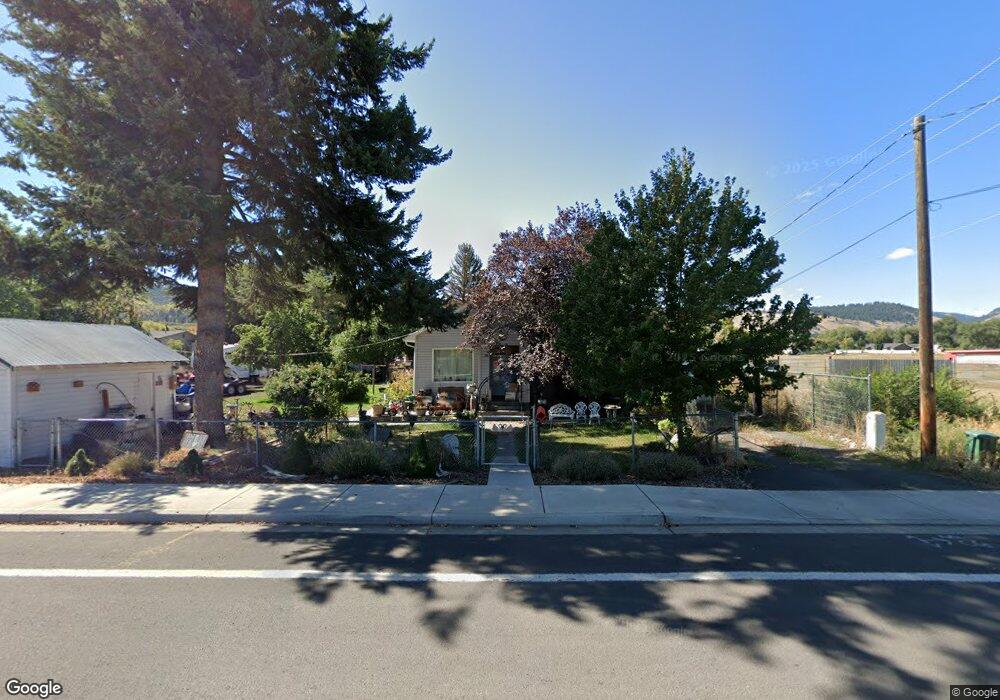
302 20th St La Grande, OR 97850
Estimated Value: $308,448 - $375,000
2
Beds
1
Bath
2,124
Sq Ft
$161/Sq Ft
Est. Value
About This Home
This home is located at 302 20th St, La Grande, OR 97850 and is currently estimated at $341,724, approximately $160 per square foot. 302 20th St is a home located in Union County with nearby schools including La Grande High School, The Marian Academy, and Grande Ronde Academy.
Ownership History
Date
Name
Owned For
Owner Type
Purchase Details
Closed on
Sep 13, 2013
Sold by
Johnston Isaac Nathaniel
Bought by
Boyd Jerry F and Royal Boyd Becky L
Current Estimated Value
Home Financials for this Owner
Home Financials are based on the most recent Mortgage that was taken out on this home.
Original Mortgage
$151,182
Outstanding Balance
$112,742
Interest Rate
4.46%
Mortgage Type
VA
Estimated Equity
$228,982
Purchase Details
Closed on
Sep 12, 2007
Sold by
Dubray Victor I and Dubray Korreene A
Bought by
Johnston Isaac Nathaniel
Home Financials for this Owner
Home Financials are based on the most recent Mortgage that was taken out on this home.
Original Mortgage
$150,100
Interest Rate
6.67%
Mortgage Type
New Conventional
Create a Home Valuation Report for This Property
The Home Valuation Report is an in-depth analysis detailing your home's value as well as a comparison with similar homes in the area
Home Values in the Area
Average Home Value in this Area
Purchase History
| Date | Buyer | Sale Price | Title Company |
|---|---|---|---|
| Boyd Jerry F | $148,000 | Eastern Oregon Title Inc | |
| Johnston Isaac Nathaniel | $158,000 | Eastern Oregon Title Inc |
Source: Public Records
Mortgage History
| Date | Status | Borrower | Loan Amount |
|---|---|---|---|
| Open | Boyd Jerry F | $151,182 | |
| Previous Owner | Johnston Isaac Nathaniel | $150,100 |
Source: Public Records
Tax History Compared to Growth
Tax History
| Year | Tax Paid | Tax Assessment Tax Assessment Total Assessment is a certain percentage of the fair market value that is determined by local assessors to be the total taxable value of land and additions on the property. | Land | Improvement |
|---|---|---|---|---|
| 2025 | $1,882 | $130,290 | $57,100 | $73,190 |
| 2024 | $1,818 | $126,500 | $55,440 | $71,060 |
| 2023 | $2,237 | $122,820 | $53,830 | $68,990 |
| 2022 | $2,177 | $119,249 | $52,261 | $66,988 |
| 2021 | $2,122 | $115,776 | $50,937 | $64,839 |
| 2020 | $2,037 | $112,404 | $49,467 | $62,937 |
| 2019 | $1,994 | $109,131 | $48,097 | $61,034 |
| 2018 | $1,942 | $105,953 | $43,936 | $62,017 |
| 2017 | $1,886 | $102,867 | $42,859 | $60,008 |
| 2016 | $1,830 | $99,871 | $41,684 | $58,187 |
| 2015 | $1,764 | $96,963 | $40,509 | $56,454 |
| 2014 | $1,532 | $94,139 | $39,386 | $54,753 |
| 2013 | -- | $91,398 | $38,215 | $53,183 |
Source: Public Records
Map
Nearby Homes
- 2209 Terra Lee Ct
- 2132 Elevation Ct
- 2129 Elevation Ct
- 313 12th St Unit 4
- 2104 True Ave
- 2101 True Loop
- 2108 True Ave
- 2008 Scorpio Dr
- 1004 22nd St
- 2000 Scorpio Dr
- 2311 E L Ave
- 0 Blue Mountain Dr Unit 8 19352869
- 0 Blue Mountain Dr Unit 9 19086277
- 4097 Gemini Dr
- 1009 13th St
- 707 Highland Dr
- 0 Tax Id 19401 Unit 665044590
- 1904 E N Ave
- 1902 Highland Dr
- 1406 N Willow St
- 2401 Century Loop
- 307 20th St
- 207 18th St Unit 6
- 207 18th St Unit 3
- 207 18th St
- 207 18th St Unit Sp 19
- 207 18th St Unit 10
- 207 18th St Unit 11
- 207 18th St Unit 5
- 2403 Century Loop
- 2400 Century Loop
- 2402 Century Loop
- 2431 Century Loop
- 2405 Century Loop
- 208 20th St Unit 5
- 208 20th St Unit 4
- 208 20th St Unit 20
- 208 20th St Unit 13
- 208 20th St
- 208 20th St Unit 6