302 Adams Ranch Rd Unit 7 Telluride, CO 81435
Estimated Value: $879,000 - $1,843,000
3
Beds
2
Baths
1,266
Sq Ft
$1,197/Sq Ft
Est. Value
About This Home
This home is located at 302 Adams Ranch Rd Unit 7, Telluride, CO 81435 and is currently estimated at $1,515,828, approximately $1,197 per square foot. 302 Adams Ranch Rd Unit 7 is a home located in San Miguel County with nearby schools including Telluride Intermediate School, Telluride Middle School, and Telluride High School.
Ownership History
Date
Name
Owned For
Owner Type
Purchase Details
Closed on
Jun 30, 2020
Sold by
Jt Howe Family Trust
Bought by
Howe John Edward
Current Estimated Value
Purchase Details
Closed on
Jul 23, 2014
Sold by
Howe John E and Howe Teresa A
Bought by
Jt Howe Family Trust
Purchase Details
Closed on
May 31, 2006
Sold by
Lewis Revocable Trust
Bought by
Howe John E and Howe Teresa A
Home Financials for this Owner
Home Financials are based on the most recent Mortgage that was taken out on this home.
Original Mortgage
$300,000
Interest Rate
6.5%
Mortgage Type
New Conventional
Purchase Details
Closed on
May 31, 2001
Sold by
Sellon Management Corp
Bought by
Lewis Rev Tr Dtd 3 23 01 Wil
Purchase Details
Closed on
Oct 4, 1996
Sold by
First National Bank Of Farming
Bought by
Sellon Management
Create a Home Valuation Report for This Property
The Home Valuation Report is an in-depth analysis detailing your home's value as well as a comparison with similar homes in the area
Home Values in the Area
Average Home Value in this Area
Purchase History
| Date | Buyer | Sale Price | Title Company |
|---|---|---|---|
| Howe John Edward | -- | None Available | |
| Jt Howe Family Trust | -- | None Available | |
| Howe John E | $566,400 | None Available | |
| Lewis Rev Tr Dtd 3 23 01 Wil | $287,000 | -- | |
| Sellon Management | $235,000 | -- |
Source: Public Records
Mortgage History
| Date | Status | Borrower | Loan Amount |
|---|---|---|---|
| Previous Owner | Howe John E | $300,000 |
Source: Public Records
Tax History Compared to Growth
Tax History
| Year | Tax Paid | Tax Assessment Tax Assessment Total Assessment is a certain percentage of the fair market value that is determined by local assessors to be the total taxable value of land and additions on the property. | Land | Improvement |
|---|---|---|---|---|
| 2024 | $4,878 | $90,240 | $0 | $90,240 |
| 2023 | $4,662 | $91,120 | $0 | $91,120 |
| 2022 | $2,218 | $40,370 | $0 | $40,370 |
| 2021 | $2,285 | $42,670 | $0 | $42,670 |
| 2020 | $2,028 | $38,370 | $0 | $38,370 |
| 2019 | $2,014 | $38,370 | $0 | $38,370 |
| 2018 | $1,592 | $31,010 | $0 | $0 |
| 2017 | $1,455 | $31,010 | $0 | $31,010 |
| 2016 | $1,925 | $33,660 | $0 | $33,660 |
| 2015 | $1,882 | $33,660 | $0 | $33,660 |
| 2014 | $1,496 | $0 | $0 | $0 |
Source: Public Records
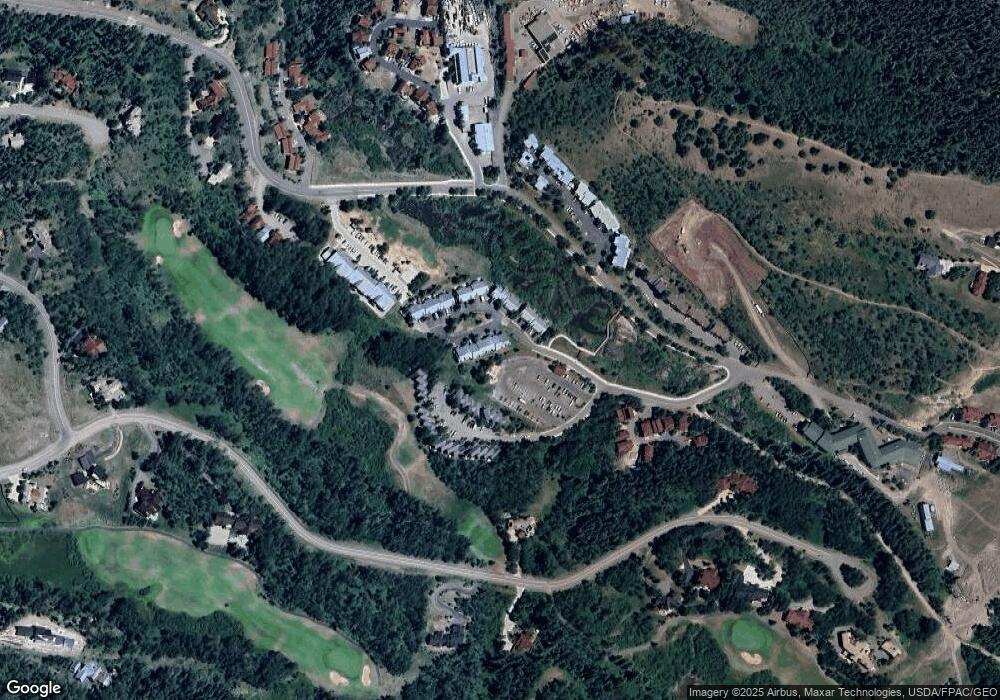
Map
Nearby Homes
- 323 Adams Ranch Rd Unit 5B
- 319 Adams Ranch Rd Unit 1302
- 6 Spring Creek Dr
- 123 Boulders Way
- 208 Russell Dr
- 234 Russell Dr Unit B
- 256 Country Club Dr Unit 1
- 103 Double Eagle Way Unit 412
- 2 Mountain Village Blvd Unit SS811
- 102 Double Eagle Way
- 215 Double Eagle Dr Unit C-1
- 133 Victoria Dr Unit A
- 401 Larkspur Ln
- TBD E Highway 145 Bv-2
- 119 Touchdown Dr Unit 9
- 236 Country Club Dr Unit 144A
- Lot 151R-1 Country Club Dr
- 121 Touchdown Dr Unit 9
- 101 Eagle Dr
- C-2 Tunnel Ln Unit C2
- 302 Adams Ranch Rd Unit 25
- 302 Adams Ranch Rd Unit 24
- 302 Adams Ranch Rd Unit 23
- 302 Adams Ranch Rd Unit 22
- 302 Adams Ranch Rd Unit 21
- 302 Adams Ranch Rd Unit 20
- 302 Adams Ranch Rd Unit 19
- 302 Adams Ranch Rd Unit 11
- 302 Adams Ranch Rd Unit 10
- 302 Adams Ranch Rd Unit 9
- 302 Adams Ranch Rd Unit 8
- 302 Adams Ranch Rd Unit 6
- 302 Adams Ranch Rd Unit 5
- 302 Adams Ranch Rd Unit 4
- 302 Adams Ranch Rd Unit 3
- 302 Adams Ranch Rd Unit 2
- 302 Adams Ranch Rd Unit 1
- 302 Adams Ranch Rd Unit 12
- 302 Adams Ranch Rd Unit 18
- 302 Adams Ranch Rd Unit 17