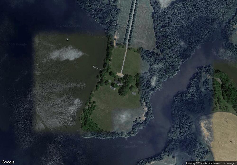
302 Alder Branch Farm Ln Centreville, MD 21617
Estimated Value: $1,077,000 - $4,156,824
--
Bed
6
Baths
5,737
Sq Ft
$456/Sq Ft
Est. Value
About This Home
This home is located at 302 Alder Branch Farm Ln, Centreville, MD 21617 and is currently estimated at $2,616,912, approximately $456 per square foot. 302 Alder Branch Farm Ln is a home located in Queen Anne's County with nearby schools including Kennard Elementary School, Centreville Middle School, and Queen Anne's County High School.
Ownership History
Date
Name
Owned For
Owner Type
Purchase Details
Closed on
Jul 26, 2007
Sold by
Wright Campbell Ross
Bought by
Bisciotti Stephen J and Bisciotti Renee F
Current Estimated Value
Purchase Details
Closed on
Jun 28, 2007
Sold by
Wright Campbell Ross
Bought by
Bisciotti Stephen J and Bisciotti Renee F
Purchase Details
Closed on
Mar 14, 2002
Sold by
Wright & Alder Branch Ltd
Bought by
Wright & Alder Branch Farm and Limited Partnership
Create a Home Valuation Report for This Property
The Home Valuation Report is an in-depth analysis detailing your home's value as well as a comparison with similar homes in the area
Home Values in the Area
Average Home Value in this Area
Purchase History
| Date | Buyer | Sale Price | Title Company |
|---|---|---|---|
| Bisciotti Stephen J | $7,375,000 | -- | |
| Wright Campbell Ross | -- | -- | |
| Bisciotti Stephen J | $7,375,000 | -- | |
| Wright Campbell Ross | -- | -- | |
| Wright & Alder Branch Farm | -- | -- |
Source: Public Records
Tax History Compared to Growth
Tax History
| Year | Tax Paid | Tax Assessment Tax Assessment Total Assessment is a certain percentage of the fair market value that is determined by local assessors to be the total taxable value of land and additions on the property. | Land | Improvement |
|---|---|---|---|---|
| 2025 | $20,611 | $2,181,633 | $0 | $0 |
| 2024 | $17,537 | $1,855,300 | $896,800 | $958,500 |
| 2023 | $17,270 | $1,827,000 | $0 | $0 |
| 2022 | $17,004 | $1,798,700 | $0 | $0 |
| 2021 | $17,040 | $1,770,400 | $934,300 | $836,100 |
| 2020 | $17,040 | $1,770,400 | $934,300 | $836,100 |
| 2019 | $17,040 | $1,770,400 | $934,300 | $836,100 |
| 2018 | $18,675 | $1,940,900 | $1,139,300 | $801,600 |
| 2017 | $18,392 | $1,911,333 | $0 | $0 |
| 2016 | -- | $1,881,767 | $0 | $0 |
| 2015 | $21,528 | $1,852,200 | $0 | $0 |
| 2014 | $21,528 | $1,852,200 | $0 | $0 |
Source: Public Records
Map
Nearby Homes
- 210 Corsica Point Ln
- 411 Corsica Neck Rd
- 0 N Hibernia Rd
- 119 Watson Rd
- 0 Brownsville Rd
- 1002 Burrisville Rd
- 233 N Field Way
- 104 Windsor Ave
- 120 Brook Knoll Way
- 322 Shrewsbury Farm Ln
- 704 Church Hill Rd
- The Miles Plan at Northbrook
- 105 Granard Ave
- 106 Turpins Ln
- 112 S Commerce St
- 109 E Meadow Dr
- 217 Elm St
- 114 S Commerce St
- 0 Burrisville Rd Unit MDQA2011420
- 131 E Meadow Dr
- 172 Gray Fox Farm Ln
- 400 Fort Point Rd
- 527 Ferrick Rd
- 1000 Gunston Rd
- 519 Ferrick Rd
- 734 Gunston Rd
- 511 Ferrick Rd
- 725 Spaniard Neck Rd
- 911 Gunston Rd
- 501 Ferrick Rd
- 617 Gunston Rd
- 200 Middle Fox Farm Ln
- 515 Gunston Rd
- 220 Overlook Ln
- 310 Fort Point Rd
- 160 Green Cove Point Ln
- 212 Overlook Ln
- LT. 11 Ferrick Rd
- 208 Overlook Ln
- LT. 10 Ferrick Rd