302 Ashford Ln Hereford, PA 18056
Hereford NeighborhoodEstimated Value: $85,000 - $390,000
3
Beds
2
Baths
1,568
Sq Ft
$162/Sq Ft
Est. Value
About This Home
This home is located at 302 Ashford Ln, Hereford, PA 18056 and is currently estimated at $253,913, approximately $161 per square foot. 302 Ashford Ln is a home with nearby schools including Upper Perkiomen 4th & 5th Grade Center, Upper Perkiomen Middle School, and Upper Perkiomen High School.
Create a Home Valuation Report for This Property
The Home Valuation Report is an in-depth analysis detailing your home's value as well as a comparison with similar homes in the area
Home Values in the Area
Average Home Value in this Area
Tax History Compared to Growth
Tax History
| Year | Tax Paid | Tax Assessment Tax Assessment Total Assessment is a certain percentage of the fair market value that is determined by local assessors to be the total taxable value of land and additions on the property. | Land | Improvement |
|---|---|---|---|---|
| 2025 | $560 | $53,300 | -- | $53,300 |
| 2024 | $525 | $53,300 | -- | $53,300 |
| 2023 | $488 | $53,300 | $0 | $53,300 |
| 2022 | $488 | $53,300 | $0 | $53,300 |
| 2021 | $472 | $53,300 | $0 | $53,300 |
| 2020 | $472 | $53,300 | $0 | $53,300 |
| 2019 | $472 | $53,300 | $0 | $53,300 |
| 2018 | $472 | $53,300 | $0 | $53,300 |
| 2017 | $457 | $53,300 | $0 | $53,300 |
| 2016 | $448 | $53,300 | $0 | $53,300 |
| 2015 | $448 | $53,300 | $0 | $53,300 |
| 2014 | $435 | $53,300 | $0 | $53,300 |
Source: Public Records
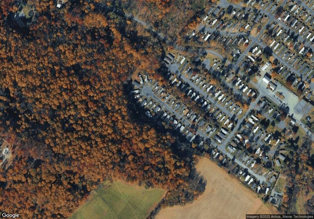
Map
Nearby Homes
- 317 Ashford Ln
- 328 Ashford Ln
- 62 Ashford Ln
- 117 Concord Dr
- 0 Chestnut St
- 7921 Corning Rd
- 1962 Tollgate Rd
- 770 Gravel Pike
- 6335 Sweetbriar Ln
- 146 Mountain Village Dr
- 59 Mansfield Dr
- 107 Haddon Dr
- 4759 Sheep Rock Rd
- 83 Mansfield Dr
- 194 Haddon Dr
- 290 Kulps Rd
- 5722 Kings Hwy S
- 22 Apache Run
- 169 Dale Rd
- 1108 S Barbara Dr