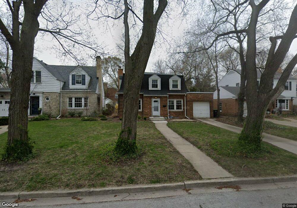
302 Ashland Ave Evanston, IL 60202
Southwest Evanston NeighborhoodEstimated Value: $581,778 - $631,000
2
Beds
2
Baths
1,741
Sq Ft
$349/Sq Ft
Est. Value
About This Home
This home is located at 302 Ashland Ave, Evanston, IL 60202 and is currently estimated at $608,445, approximately $349 per square foot. 302 Ashland Ave is a home located in Cook County with nearby schools including Dawes Elementary School, Chute Middle School, and Evanston Township High School.
Ownership History
Date
Name
Owned For
Owner Type
Purchase Details
Closed on
Aug 30, 2017
Sold by
Brukoff Joyce M
Bought by
Siegel Joshua E and Burnett Kari L
Current Estimated Value
Home Financials for this Owner
Home Financials are based on the most recent Mortgage that was taken out on this home.
Original Mortgage
$327,500
Outstanding Balance
$273,470
Interest Rate
4.25%
Mortgage Type
New Conventional
Estimated Equity
$334,975
Purchase Details
Closed on
Nov 21, 1994
Sold by
Brukoff Joyce M
Bought by
Brukoff Joyce M and The Joyce M Brukoff Revocable Trust
Create a Home Valuation Report for This Property
The Home Valuation Report is an in-depth analysis detailing your home's value as well as a comparison with similar homes in the area
Home Values in the Area
Average Home Value in this Area
Purchase History
We collect this data history from publicly available records. To have your information removed, we recommend requesting removal directly through your county’s website.
| Date | Buyer | Sale Price | Title Company |
|---|---|---|---|
| Siegel Joshua E | $365,000 | Chicago Title | |
| Brukoff Joyce M | -- | -- |
Source: Public Records
Mortgage History
We collect this data history from publicly available records. To have your information removed, we recommend requesting removal directly through your county’s website.
| Date | Status | Borrower | Loan Amount |
|---|---|---|---|
| Open | Siegel Joshua E | $327,500 |
Source: Public Records
Tax History
| Year | Tax Paid | Tax Assessment Tax Assessment Total Assessment is a certain percentage of the fair market value that is determined by local assessors to be the total taxable value of land and additions on the property. | Land | Improvement |
|---|---|---|---|---|
| 2025 | $10,225 | $58,000 | $11,700 | $46,300 |
| 2024 | $10,225 | $45,000 | $9,900 | $35,100 |
| 2023 | $9,784 | $45,000 | $9,900 | $35,100 |
| 2022 | $9,784 | $45,000 | $9,900 | $35,100 |
| 2021 | $7,890 | $32,667 | $7,200 | $25,467 |
| 2020 | $7,843 | $32,667 | $7,200 | $25,467 |
| 2019 | $7,850 | $36,500 | $7,200 | $29,300 |
| 2018 | $10,727 | $42,074 | $6,000 | $36,074 |
| 2017 | $11,373 | $42,074 | $6,000 | $36,074 |
| 2016 | $10,785 | $42,074 | $6,000 | $36,074 |
| 2015 | $9,017 | $33,156 | $4,950 | $28,206 |
| 2014 | $8,930 | $33,156 | $4,950 | $28,206 |
| 2013 | $8,724 | $33,156 | $4,950 | $28,206 |
Source: Public Records
Map
Nearby Homes
- 1423 Kirk St
- 1321 Brummel St
- 1604 Dobson St
- 312 Barton Ave
- 101 Ashland Ave Unit 3S
- 1609 Howard St Unit 2
- 2507 W Howard St
- 414 Barton Ave
- 325 Dodge Ave
- 221 Dodge Ave Unit D
- 600 Florence Ave
- 1114 Dobson St
- 207 Brown Ave
- 2724 W Jerome St
- 2646 W Birchwood Ave
- 356 Ridge Ave Unit 6-1
- 410 Ridge Ave Unit 23-2
- 200 Ridge Ave Unit 1K
- 546 Dodge Ave
- 2012 Dobson St
- 300 Ashland Ave
- 310 Ashland Ave
- 1511 Mulford St
- 316 Ashland Ave
- 318 Ashland Ave
- 1517 Mulford St
- 322 Ashland Ave
- 1521 Mulford St
- 305 Ashland Ave
- 1502 Mulford St
- 1506 Mulford St
- 301 Ashland Ave
- 309 Ashland Ave
- 311 Florence Ave
- 1508 Mulford St
- 1432 Mulford St
- 315 Florence Ave
- 1512 Mulford St
- 1512 Mulford St Unit ID1306466P
- 1430 Mulford St
Your Personal Tour Guide
Ask me questions while you tour the home.