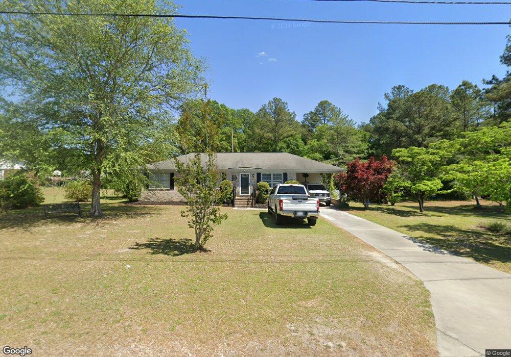
302 Barfield Rd Darlington, SC 29532
Estimated Value: $171,070 - $242,000
4
Beds
2
Baths
1,894
Sq Ft
$102/Sq Ft
Est. Value
About This Home
This home is located at 302 Barfield Rd, Darlington, SC 29532 and is currently estimated at $193,268, approximately $102 per square foot. 302 Barfield Rd is a home located in Darlington County with nearby schools including J.L. Cain Elementary School, J. L. Cain Elementary, and Brunson-Dargan Elementary School.
Ownership History
Date
Name
Owned For
Owner Type
Purchase Details
Closed on
Sep 6, 2018
Sold by
Powell Jeffrey Joseph and Powell Joseph E
Bought by
Driggers Robert Floyd
Current Estimated Value
Home Financials for this Owner
Home Financials are based on the most recent Mortgage that was taken out on this home.
Original Mortgage
$75,000
Outstanding Balance
$65,270
Interest Rate
4.5%
Mortgage Type
New Conventional
Estimated Equity
$127,998
Purchase Details
Closed on
Apr 11, 2016
Sold by
Powell Joseph E
Bought by
Powell Jeffery Joseph
Create a Home Valuation Report for This Property
The Home Valuation Report is an in-depth analysis detailing your home's value as well as a comparison with similar homes in the area
Home Values in the Area
Average Home Value in this Area
Purchase History
| Date | Buyer | Sale Price | Title Company |
|---|---|---|---|
| Driggers Robert Floyd | $93,750 | None Available | |
| Powell Jeffery Joseph | -- | -- |
Source: Public Records
Mortgage History
| Date | Status | Borrower | Loan Amount |
|---|---|---|---|
| Open | Driggers Robert Floyd | $75,000 |
Source: Public Records
Tax History Compared to Growth
Tax History
| Year | Tax Paid | Tax Assessment Tax Assessment Total Assessment is a certain percentage of the fair market value that is determined by local assessors to be the total taxable value of land and additions on the property. | Land | Improvement |
|---|---|---|---|---|
| 2024 | $724 | $3,870 | $480 | $3,390 |
| 2023 | $890 | $3,560 | $480 | $3,080 |
| 2022 | $890 | $3,560 | $480 | $3,080 |
| 2021 | $890 | $3,560 | $480 | $3,080 |
| 2020 | $649 | $3,560 | $480 | $3,080 |
| 2019 | $2,075 | $3,560 | $480 | $3,080 |
| 2018 | $355 | $3,750 | $480 | $3,270 |
| 2017 | $328 | $3,930 | $480 | $3,450 |
| 2016 | $303 | $3,930 | $480 | $3,450 |
| 2014 | $317 | $3,930 | $480 | $3,450 |
| 2013 | $323 | $3,930 | $480 | $3,450 |
Source: Public Records
Map
Nearby Homes
- 135 Greenway Dr
- TBD N Main St
- 119 N Ervin St
- 2303 N Governors Hwy
- 104 S Warley St
- TBD Dogwood Ave
- 119 Spring St
- 107 Byrd Ave
- 106 Min Lou Cir
- 106 Red Camellia Dr
- TBD Pineview St
- 200 Hoole St
- 708 E Hampton St
- 111 Columbian St
- 612 Society Hill Rd
- 111 Brittain Rd
- 215 S Ervin St
- 719 Spring St
- 820 Oleander Dr
- 416 S Warley St
- 304 Barfield Rd
- Lot 1 Barfield Rd
- 206 Barfield Rd
- 207 Barfield Rd
- 205 Barfield Rd
- 115 Gann Dr
- 400 Eastburn Ct
- 203 Barfield Rd
- 204 Barfield Rd
- 113 Gann Dr
- 402 Eastburn Ct
- 201 Barfield Rd
- 403 Eastburn Ct
- 404 Sheffield Dr
- 200 Barfield Rd
- 111 Gann Dr
- 120 Gann Dr
- 118 Gann Dr
- 307 Barfie Barfield Rd
- 307 Barfield Rd