302 Bloomfield Rd Sebastopol, CA 95472
Estimated Value: $1,168,000 - $1,240,000
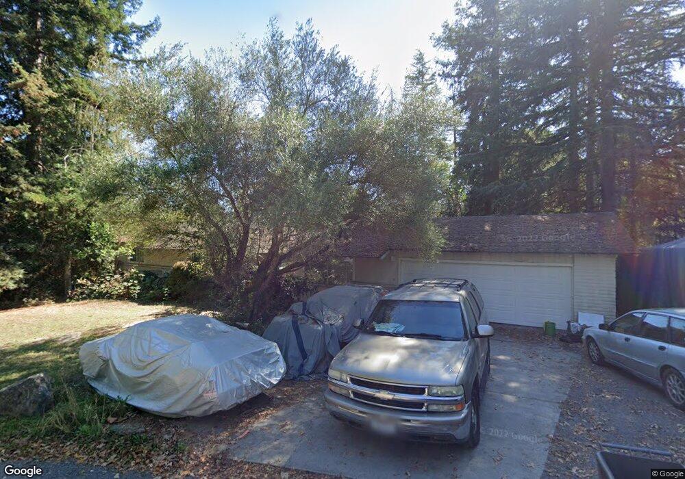
About This Home
This home is located at 302 Bloomfield Rd, Sebastopol, CA 95472 and is currently estimated at $1,204,725, approximately $619 per square foot. 302 Bloomfield Rd is a home located in Sonoma County with nearby schools including Analy High School, Sunridge Charter School, and Gravenstein Elementary School.
Ownership History
We collect this data history from publicly available records. To have your information removed, we recommend requesting removal directly through your county’s website.
Purchase Details
Home Financials for this Owner
Home Financials are based on the most recent Mortgage that was taken out on this home.Purchase Details
Purchase History
We collect this data history from publicly available records. To have your information removed, we recommend requesting removal directly through your county’s website.
| Date | Buyer | Sale Price | Title Company |
|---|---|---|---|
| $570,000 | North American Title Co | ||
| -- | -- |
Mortgage History
We collect this data history from publicly available records. To have your information removed, we recommend requesting removal directly through your county’s website.
| Date | Status | Borrower | Loan Amount |
|---|---|---|---|
| Closed | $427,425 |
Tax History
We collect this data history from publicly available records. To have your information removed, we recommend requesting removal directly through your county’s website.
| Year | Tax Paid | Tax Assessment Tax Assessment Total Assessment is a certain percentage of the fair market value that is determined by local assessors to be the total taxable value of land and additions on the property. | Land | Improvement |
|---|---|---|---|---|
| 2025 | $9,403 | $810,259 | $312,783 | $497,476 |
| 2024 | $9,245 | $794,372 | $306,650 | $487,722 |
| 2023 | $9,245 | $778,797 | $300,638 | $478,159 |
| 2022 | $8,928 | $763,528 | $294,744 | $468,784 |
| 2021 | $8,863 | $748,558 | $288,965 | $459,593 |
| 2020 | $8,872 | $740,884 | $286,003 | $454,881 |
| 2019 | $8,489 | $726,358 | $280,396 | $445,962 |
| 2018 | $8,365 | $712,117 | $274,899 | $437,218 |
| 2017 | $8,005 | $698,155 | $269,509 | $428,646 |
| 2016 | $7,879 | $684,467 | $264,225 | $420,242 |
| 2015 | $7,215 | $637,000 | $246,000 | $391,000 |
| 2014 | $6,556 | $577,000 | $223,000 | $354,000 |
Map
- 5932 Fredricks Rd
- 1853 Cooper Rd
- 8030 Elphick Rd
- 1173 Gravenstein Hwy S
- 7149 Lynch Rd
- 6800 Redwood Ave
- 3065 Pleasant Hill Rd
- 7080 Fellers Ln
- 5301 Gravenstein Hwy S
- 5163 Todd Rd
- 5111 Todd Rd
- 2019 Pleasant Hill Rd
- 3640 Gravenstein Hwy S
- 486 S Main St
- 3880 Gravenstein Hwy S
- 7580 Washington Ave
- 5200 California 116
- 2062 Ludwig Ave
- 7225 Wilton Ave
- 4190 Hessel Rd
- 304 Bloomfield Rd
- 296 Bloomfield Rd
- 300 Bloomfield Rd
- 294 Bloomfield Rd
- 310 Bloomfield Rd
- 308 Bloomfield Rd
- 360 Bloomfield Rd
- 382 Bloomfield Rd
- 6748 Rutgers Dr
- 250 Bloomfield Rd
- 6625 Rutgers Dr
- 527 Sparkes Rd
- 386 Bloomfield Rd
- 295 Bloomfield Rd
- 190 Bloomfield Rd
- 6620 Cherie Ln
- 6698 Harvard Dr
- 6650 Cherie Ln
- 350 Firefly Ln
- 6648 Cherie Ln
Ask me questions while you tour the home.