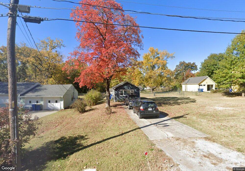
302 Bonnie Ln Liberty, MO 64068
Estimated Value: $143,768 - $283,000
1
Bed
--
Bath
384
Sq Ft
$505/Sq Ft
Est. Value
About This Home
This home is located at 302 Bonnie Ln, Liberty, MO 64068 and is currently estimated at $193,942, approximately $505 per square foot. 302 Bonnie Ln is a home located in Clay County with nearby schools including Alexander Doniphan Elementary School, Discovery Middle School, and Liberty High School.
Ownership History
Date
Name
Owned For
Owner Type
Purchase Details
Closed on
May 19, 2022
Sold by
Locker Gary M and Locker Delora D
Bought by
Knutter Kristine
Current Estimated Value
Home Financials for this Owner
Home Financials are based on the most recent Mortgage that was taken out on this home.
Original Mortgage
$77,600
Outstanding Balance
$73,718
Interest Rate
5.25%
Mortgage Type
New Conventional
Estimated Equity
$120,224
Purchase Details
Closed on
May 20, 2009
Sold by
Locker Gary
Bought by
Locker Gary and Locker Delora
Create a Home Valuation Report for This Property
The Home Valuation Report is an in-depth analysis detailing your home's value as well as a comparison with similar homes in the area
Home Values in the Area
Average Home Value in this Area
Purchase History
| Date | Buyer | Sale Price | Title Company |
|---|---|---|---|
| Knutter Kristine | -- | First American Title | |
| Locker Gary | -- | None Available |
Source: Public Records
Mortgage History
| Date | Status | Borrower | Loan Amount |
|---|---|---|---|
| Open | Knutter Kristine | $77,600 |
Source: Public Records
Tax History Compared to Growth
Tax History
| Year | Tax Paid | Tax Assessment Tax Assessment Total Assessment is a certain percentage of the fair market value that is determined by local assessors to be the total taxable value of land and additions on the property. | Land | Improvement |
|---|---|---|---|---|
| 2025 | $902 | $13,930 | -- | -- |
| 2024 | $902 | $12,220 | -- | -- |
| 2023 | $915 | $12,220 | $0 | $0 |
| 2022 | $886 | $11,700 | $0 | $0 |
| 2021 | $890 | $11,704 | $6,422 | $5,282 |
| 2020 | $930 | $11,530 | $0 | $0 |
| 2019 | $930 | $11,533 | $6,650 | $4,883 |
| 2018 | $659 | $8,020 | $0 | $0 |
| 2017 | $652 | $8,020 | $3,420 | $4,600 |
| 2016 | $652 | $8,020 | $3,420 | $4,600 |
| 2015 | $652 | $8,020 | $3,420 | $4,600 |
| 2014 | $653 | $8,020 | $3,420 | $4,600 |
Source: Public Records
Map
Nearby Homes
- 1991 Harvest Rd
- 2153 Black Walnut Dr
- 2152 Black Walnut Dr
- 2157 Black Walnut Dr
- 1733 Welleslay Ln
- 1929 Longview Dr
- 2156 Black Walnut Dr
- 1841 Vintage Ln
- 1852 Vintage Ln
- 1980 Longview Dr
- 2116 Winding Woods Dr
- 1984 Longview Dr
- 1845 Arbor Trail
- 1975 Harvest Rd
- 1979 Harvest Rd
- 1971 Harvest Rd
- 1972 Longview Dr
- 1537 Canterbury Ln
- 1507 Amesbury Ave
- 1973 Longview Dr