302 Brayton Point Rd Westport, MA 02790
Acoaxet NeighborhoodEstimated Value: $1,052,000 - $1,675,000
2
Beds
2
Baths
1,120
Sq Ft
$1,293/Sq Ft
Est. Value
About This Home
This home is located at 302 Brayton Point Rd, Westport, MA 02790 and is currently estimated at $1,448,614, approximately $1,293 per square foot. 302 Brayton Point Rd is a home located in Bristol County with nearby schools including Alice A. Macomber Primary School, Westport Elementary School, and Westport Middle-High School.
Ownership History
Date
Name
Owned For
Owner Type
Purchase Details
Closed on
Jun 18, 2018
Sold by
302 Brayton Point Rd R
Bought by
Drumright Marcia A and Myers Lyra R
Current Estimated Value
Purchase Details
Closed on
Dec 27, 1996
Sold by
Bouchard Ronald P and Bouchard Pierre R
Bought by
Drumright Marcia A
Home Financials for this Owner
Home Financials are based on the most recent Mortgage that was taken out on this home.
Original Mortgage
$156,000
Interest Rate
7.55%
Mortgage Type
Purchase Money Mortgage
Create a Home Valuation Report for This Property
The Home Valuation Report is an in-depth analysis detailing your home's value as well as a comparison with similar homes in the area
Home Values in the Area
Average Home Value in this Area
Purchase History
| Date | Buyer | Sale Price | Title Company |
|---|---|---|---|
| Drumright Marcia A | -- | -- | |
| Drumright Marcia A | $195,000 | -- |
Source: Public Records
Mortgage History
| Date | Status | Borrower | Loan Amount |
|---|---|---|---|
| Previous Owner | Drumright Marcia A | $156,000 |
Source: Public Records
Tax History Compared to Growth
Tax History
| Year | Tax Paid | Tax Assessment Tax Assessment Total Assessment is a certain percentage of the fair market value that is determined by local assessors to be the total taxable value of land and additions on the property. | Land | Improvement |
|---|---|---|---|---|
| 2025 | $9,494 | $1,274,300 | $1,095,900 | $178,400 |
| 2024 | $9,199 | $1,190,000 | $1,015,300 | $174,700 |
| 2023 | $9,171 | $1,123,900 | $967,000 | $156,900 |
| 2022 | $8,604 | $1,086,100 | $967,000 | $119,100 |
| 2021 | $8,604 | $998,200 | $879,100 | $119,100 |
| 2020 | $8,118 | $963,000 | $843,900 | $119,100 |
| 2019 | $4,312 | $958,000 | $843,900 | $114,100 |
| 2018 | $7,335 | $897,800 | $796,900 | $100,900 |
| 2017 | $7,077 | $888,000 | $785,600 | $102,400 |
| 2016 | $6,991 | $883,800 | $785,600 | $98,200 |
| 2015 | $6,977 | $879,800 | $785,600 | $94,200 |
Source: Public Records
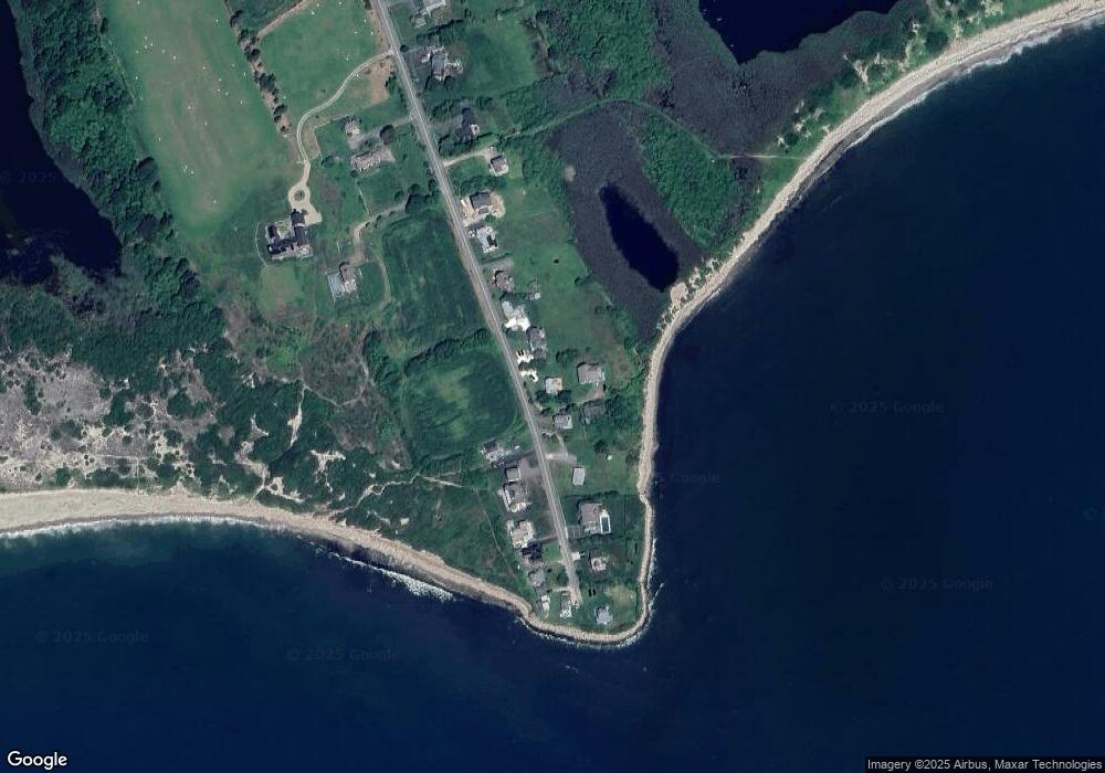
Map
Nearby Homes
- 304 Brayton Point Rd
- 189 Brayton Point Rd
- 19 Seabury Ln
- 18 Old Barn Rd
- 128 Maple Ave
- 255 John Dyer Rd
- 141 S Of Commons Rd
- 505 Long Hwy
- 1881 Main Rd
- 245 John Dyer Rd
- 1749 Main Rd
- 0 Willow Ave
- 1580 Main Rd
- 576 W Main Rd
- 1702J Drift Rd
- 536 W Main Rd
- 1702 Drift Rd
- 8 Taylors Ln
- 116 Amy Hart Path
- 1346 Main Rd Unit B
- 302 Brayton Point Rd Unit WINTER
- 298 Brayton Point Rd
- 300 Brayton Point Rd
- 306 Brayton Point Rd
- 292 Brayton Point Rd
- 311 Brayton Point Rd
- 288 Brayton Point Rd
- 314 Brayton Point Rd
- 317 Brayton Point Rd
- 318 Brayton Point Rd
- 284 Brayton Point Rd
- 321 Brayton Point Rd
- 325 Brayton Point Rd
- 278 Brayton Point Rd
- 324 Brayton Point Rd
- 327 Brayton Point Rd
- 272 Brayton Point Rd
- 329 Brayton Point Rd
- 331 Brayton Point Rd
- 332 Brayton Point Rd