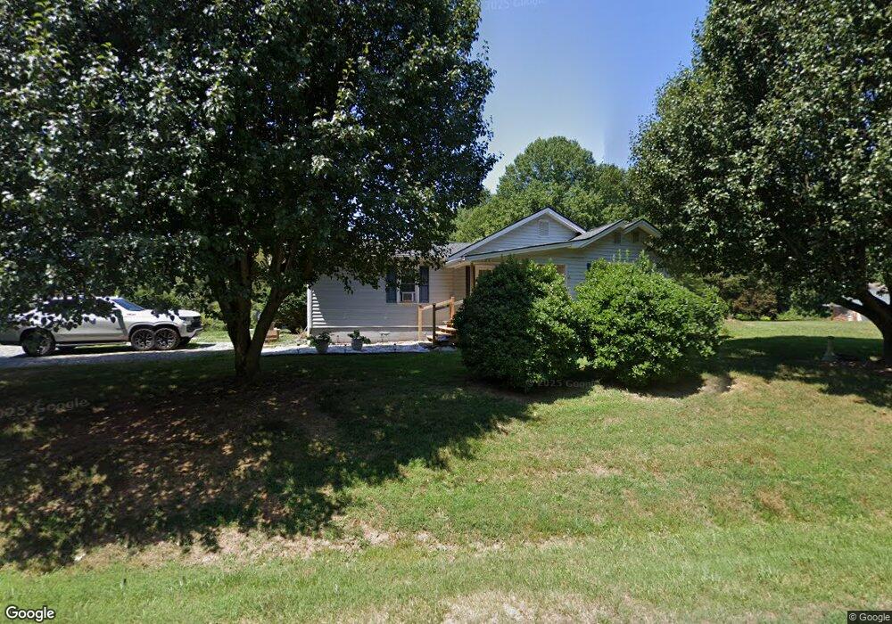
302 Burnt Mountain Rd Ellijay, GA 30536
Estimated Value: $343,086 - $464,000
3
Beds
3
Baths
1,352
Sq Ft
$312/Sq Ft
Est. Value
About This Home
This home is located at 302 Burnt Mountain Rd, Ellijay, GA 30536 and is currently estimated at $422,362, approximately $312 per square foot. 302 Burnt Mountain Rd is a home with nearby schools including Ellijay Elementary School, Clear Creek Elementary School, and Clear Creek Middle School.
Ownership History
Date
Name
Owned For
Owner Type
Purchase Details
Closed on
Jul 16, 2021
Sold by
Richards J Leslie
Bought by
Banks Christopher Brady and Banks Autumn Brooke
Current Estimated Value
Create a Home Valuation Report for This Property
The Home Valuation Report is an in-depth analysis detailing your home's value as well as a comparison with similar homes in the area
Home Values in the Area
Average Home Value in this Area
Purchase History
| Date | Buyer | Sale Price | Title Company |
|---|---|---|---|
| Banks Christopher Brady | -- | -- |
Source: Public Records
Tax History Compared to Growth
Tax History
| Year | Tax Paid | Tax Assessment Tax Assessment Total Assessment is a certain percentage of the fair market value that is determined by local assessors to be the total taxable value of land and additions on the property. | Land | Improvement |
|---|---|---|---|---|
| 2025 | $1,507 | $100,780 | $30,200 | $70,580 |
| 2024 | $1,507 | $97,272 | $26,280 | $70,992 |
| 2023 | $1,465 | $91,592 | $20,600 | $70,992 |
| 2022 | $1,193 | $67,792 | $19,600 | $48,192 |
| 2021 | $1,094 | $55,112 | $17,200 | $37,912 |
| 2020 | $1,042 | $47,368 | $16,800 | $30,568 |
| 2019 | $1,013 | $44,724 | $16,800 | $27,924 |
| 2018 | $1,026 | $44,724 | $16,800 | $27,924 |
| 2017 | $944 | $38,364 | $16,800 | $21,564 |
| 2016 | $980 | $39,052 | $16,800 | $22,252 |
| 2015 | $796 | $32,280 | $13,080 | $19,200 |
| 2014 | $220 | $30,800 | $13,080 | $17,720 |
| 2013 | -- | $28,200 | $15,680 | $12,520 |
Source: Public Records
Map
Nearby Homes
- 1030 Hefner Lake Rd
- 3214 Lower Cartecay Rd
- 134 Ebenezer Rd
- 301 Ebenezer Rd
- 6180 Burnt Mountain Rd
- 74 Sam Allen Mountain Rd
- 140 Robert Dr
- 0 S Piney Spur Rd Unit 10576465
- 0 S Piney Spur Rd Unit 7625814
- 18 ACRES S Piney Spur Rd
- 843 Fern Valley Rd
- 67 Ballard Ln
- Lot 9 Eastview Trail
- Lot 31 Eastside Dr
- 4542 Clear Creek Rd
- 0 Black Bear Ridge Rd Unit 10450118
- 309 Burnt Mountain Rd
- 270 Burnt Mountain Rd
- 319 Burnt Mountain Rd
- 203 Burnt Mountain Rd
- 383 Burnt Mountain Rd
- 152 Burnt Mountain Rd
- 3 Burnt Mountain Rd
- 51 Burnt Mountain Rd
- 29 Hwy 108
- 47 Burnt Mountain Rd
- 115 Clay Top Dr
- 9494 Highway 52 E
- 74 Clay Top Dr
- 34 Clay Top Dr
- 34 Clay Top Dr
- 513 Burnt Mountain Rd
- 31 Still Branch Rd
- 9417 Highway 52 E
- 9459 Highway 52 E
- 108 State Hwy 108