Studio
--
Bath
--
Sq Ft
63,162
Sq Ft Lot
About This Home
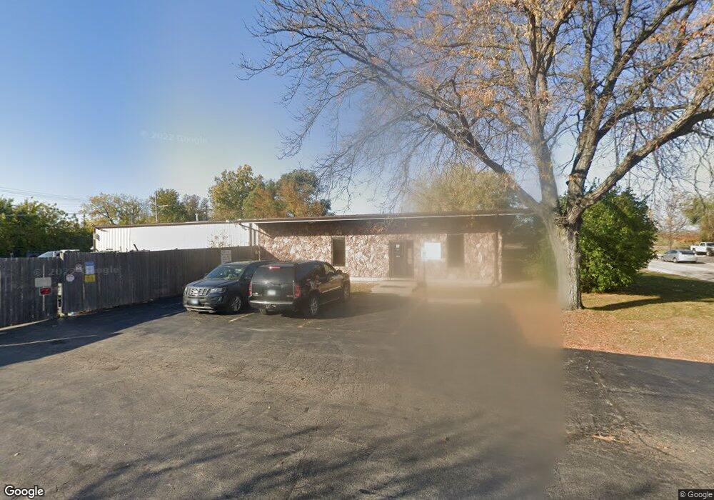
This home is located at 302 Cary Point Dr, Cary, IL 60013. 302 Cary Point Dr is a home located in McHenry County with nearby schools including Briargate Elementary School, Cary Jr High School, and Cary-Grove High School.
Ownership History
Date
Name
Owned For
Owner Type
Purchase Details
Closed on
Jun 5, 2013
Sold by
Lasalle 115 Holdings Llc
Bought by
Mtc Enterprises Llc
Home Financials for this Owner
Home Financials are based on the most recent Mortgage that was taken out on this home.
Original Mortgage
$286,400
Outstanding Balance
$201,536
Interest Rate
3.25%
Mortgage Type
Commercial
Purchase Details
Closed on
Oct 10, 2012
Sold by
Wolff Frank R
Bought by
Lasalle 115 Holdings Llc Series 1
Purchase Details
Closed on
Dec 20, 2001
Sold by
Central States Microfilming Inc
Bought by
Wolff Frank R
Home Financials for this Owner
Home Financials are based on the most recent Mortgage that was taken out on this home.
Original Mortgage
$1,300,000
Interest Rate
7.24%
Mortgage Type
Commercial
Create a Home Valuation Report for This Property
The Home Valuation Report is an in-depth analysis detailing your home's value as well as a comparison with similar homes in the area
Home Values in the Area
Average Home Value in this Area
Purchase History
| Date | Buyer | Sale Price | Title Company |
|---|---|---|---|
| Mtc Enterprises Llc | $358,000 | Chicago Title | |
| Lasalle 115 Holdings Llc Series 1 | -- | None Available | |
| Wolff Frank R | $500,000 | Chicago Title Insurance Co |
Source: Public Records
Mortgage History
| Date | Status | Borrower | Loan Amount |
|---|---|---|---|
| Open | Mtc Enterprises Llc | $286,400 | |
| Previous Owner | Wolff Frank R | $1,300,000 |
Source: Public Records
Tax History
| Year | Tax Paid | Tax Assessment Tax Assessment Total Assessment is a certain percentage of the fair market value that is determined by local assessors to be the total taxable value of land and additions on the property. | Land | Improvement |
|---|---|---|---|---|
| 2024 | $13,176 | $156,457 | $54,784 | $101,673 |
| 2023 | $11,130 | $120,242 | $53,307 | $66,935 |
| 2022 | $10,162 | $108,522 | $48,111 | $60,411 |
| 2021 | $9,728 | $101,101 | $44,821 | $56,280 |
| 2020 | $9,462 | $97,522 | $43,234 | $54,288 |
| 2019 | $9,304 | $93,340 | $41,380 | $51,960 |
| 2018 | $10,563 | $103,239 | $38,226 | $65,013 |
| 2017 | $13,991 | $130,730 | $36,011 | $94,719 |
| 2016 | $13,960 | $122,613 | $33,775 | $88,838 |
| 2013 | -- | $89,892 | $33,074 | $56,818 |
Source: Public Records
Map
Nearby Homes
- 128 E Main St
- 124 E Main St
- 321 Cold Spring St
- 341 Cold Spring St
- 331 Cold Spring St
- 371 Cold Spring St
- 2016 Grove Ln
- 112 Pearl St
- 1107 Spring Beach Way
- 1104 Hillcrest Ave
- 208 S River Rd
- 422 Lincoln Ave Unit A
- 47 Sunset Dr
- 103 S Seebert St Unit 1
- Lots 2,3,4 Northwest Hwy
- 680 Spruce Tree Dr
- 330 Park Ave
- 349 Park Ave
- 2101 Riverview Ave
- 726 Barberry Trail
- 251 Jandus Rd
- 251 Jandus Rd Unit 251-59
- 300 Jandus Rd Unit 115
- 300 Jandus Rd Unit 109
- 300 Jandus Rd Unit 103-106
- 300 Jandus Rd Unit 106
- 300 Jandus Rd Unit 103
- 311 Jandus Rd
- 180 Chicago St
- 314 Cary Point Dr
- 160 Chicago St
- 188 Northwest Hwy Unit 303
- 188 Northwest Hwy Unit 203A
- 188 Northwest Hwy Unit L1
- 188 Northwest Hwy
- 316 Cary Point Dr
- 209 Cleveland St
- 209 Cleveland St Unit E
- 209 Cleveland St Unit C
- 209 Cleveland St Unit A
Your Personal Tour Guide
Ask me questions while you tour the home.