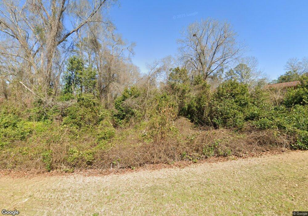
302 Cheyenne Dr Warner Robins, GA 31093
Estimated Value: $128,000 - $274,000
--
Bed
--
Bath
--
Sq Ft
0.39
Acres
About This Home
This home is located at 302 Cheyenne Dr, Warner Robins, GA 31093 and is currently estimated at $201,000. 302 Cheyenne Dr is a home located in Houston County with nearby schools including Northside Elementary School, Northside Middle School, and Northside High School.
Ownership History
Date
Name
Owned For
Owner Type
Purchase Details
Closed on
Sep 24, 2010
Sold by
Security Bank Of Houston Count
Bought by
M J Grace Llc
Current Estimated Value
Purchase Details
Closed on
Sep 9, 2008
Sold by
Georgia Boyz Inc
Bought by
Security Bank Of Houston County
Purchase Details
Closed on
Jul 23, 2004
Sold by
Lowe Family Lp
Bought by
Georgia Boyz Inc
Purchase Details
Closed on
Dec 5, 1996
Sold by
Lowe Betty
Bought by
Lowe Family Lp
Purchase Details
Closed on
Dec 3, 1996
Sold by
Lowe R Wayne
Bought by
Wbl Investments Ltd
Purchase Details
Closed on
Jun 21, 1983
Sold by
Lowe Betty
Bought by
Lowe R Wayne
Create a Home Valuation Report for This Property
The Home Valuation Report is an in-depth analysis detailing your home's value as well as a comparison with similar homes in the area
Home Values in the Area
Average Home Value in this Area
Purchase History
| Date | Buyer | Sale Price | Title Company |
|---|---|---|---|
| M J Grace Llc | $15,400 | -- | |
| Security Bank Of Houston County | -- | -- | |
| Georgia Boyz Inc | -- | -- | |
| Lowe Family Lp | -- | -- | |
| Lowe Betty | -- | -- | |
| Wbl Investments Ltd | -- | -- | |
| Lowe R Wayne | -- | -- |
Source: Public Records
Tax History Compared to Growth
Tax History
| Year | Tax Paid | Tax Assessment Tax Assessment Total Assessment is a certain percentage of the fair market value that is determined by local assessors to be the total taxable value of land and additions on the property. | Land | Improvement |
|---|---|---|---|---|
| 2024 | $144 | $6,000 | $6,000 | $0 |
| 2023 | $145 | $6,000 | $6,000 | $0 |
| 2022 | $93 | $3,840 | $3,840 | $0 |
| 2021 | $67 | $2,760 | $2,760 | $0 |
| 2020 | $67 | $2,760 | $2,760 | $0 |
| 2019 | $67 | $2,760 | $2,760 | $0 |
| 2018 | $67 | $2,760 | $2,760 | $0 |
| 2017 | $67 | $2,760 | $2,760 | $0 |
| 2016 | $68 | $2,760 | $2,760 | $0 |
| 2015 | $68 | $2,760 | $2,760 | $0 |
| 2014 | -- | $2,760 | $2,760 | $0 |
| 2013 | -- | $2,760 | $2,760 | $0 |
Source: Public Records
Map
Nearby Homes
- 108 Jessica Dr
- 107 Stonefield Ct
- 213 Fairgrounds Blvd
- 403 Fieldstone Rd
- 409 Fieldstone Rd
- 60 Tiffany Ln
- 1089 Dunbar Rd
- 136 Scarborough Rd
- 405 Tumbleweed Cir
- 94 Tiffany Ln
- 111 Red Oak Glen
- 105 Maple Glen Ct
- 303 Wake Forest Dr
- 112 Forest Lake Dr
- 109 Haag Dr
- 218 Valencia Cir
- 312 Wake Forest Dr
- 302 Woodhaven Rd
- 201 Custer Dr
- 203 Custer Dr
- 303 Cheyenne Dr
- 305 Cheyenne Dr
- 301 Cheyenne Dr
- 205 Custer Dr
- 402 Aspen Ct
- 400 Aspen Ct
- 307 Cheyenne Dr
- 202 Custer Dr
- 309 Cheyenne Dr
- 207 Custer Dr
- 113 Augustus Dr
- 404 Aspen Ct
- 204 Custer Dr Unit 4
- 204 Custer Dr Unit 4
- 204 Custer Dr
- 111 Augustus Dr
- 311 Cheyenne Dr
- 117 Patton Dr
