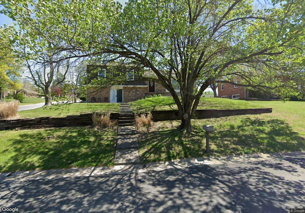
302 Circle Dr Moberly, MO 65270
Estimated Value: $217,102 - $308,000
4
Beds
3
Baths
2,953
Sq Ft
$86/Sq Ft
Est. Value
About This Home
This home is located at 302 Circle Dr, Moberly, MO 65270 and is currently estimated at $252,776, approximately $85 per square foot. 302 Circle Dr is a home located in Randolph County with nearby schools including Moberly Senior High School, St. Pius X. Catholic School, and Maranatha Seventh-day Adventist School.
Ownership History
Date
Name
Owned For
Owner Type
Purchase Details
Closed on
Dec 16, 2010
Sold by
Lashley Jeffrey C and Lashley Sally Rae
Bought by
Hunt Michael S and Hunt Laura L
Current Estimated Value
Home Financials for this Owner
Home Financials are based on the most recent Mortgage that was taken out on this home.
Original Mortgage
$84,800
Outstanding Balance
$56,565
Interest Rate
4.41%
Estimated Equity
$196,211
Create a Home Valuation Report for This Property
The Home Valuation Report is an in-depth analysis detailing your home's value as well as a comparison with similar homes in the area
Home Values in the Area
Average Home Value in this Area
Purchase History
| Date | Buyer | Sale Price | Title Company |
|---|---|---|---|
| Hunt Michael S | $105,000 | -- |
Source: Public Records
Mortgage History
| Date | Status | Borrower | Loan Amount |
|---|---|---|---|
| Open | Hunt Michael S | $84,800 |
Source: Public Records
Tax History Compared to Growth
Tax History
| Year | Tax Paid | Tax Assessment Tax Assessment Total Assessment is a certain percentage of the fair market value that is determined by local assessors to be the total taxable value of land and additions on the property. | Land | Improvement |
|---|---|---|---|---|
| 2025 | $1,812 | $27,140 | $3,715 | $23,425 |
| 2024 | $18 | $24,880 | $3,230 | $21,650 |
| 2023 | $1,839 | $24,880 | $3,230 | $21,650 |
| 2022 | $1,729 | $24,010 | $3,230 | $20,780 |
| 2020 | $1,728 | $24,010 | $3,230 | $20,780 |
| 2019 | $1,724 | $24,010 | $3,230 | $20,780 |
| 2018 | $1,719 | $24,010 | $3,230 | $20,780 |
| 2017 | $1,727 | $24,170 | $0 | $0 |
| 2016 | $1,645 | $23,160 | $0 | $0 |
| 2014 | -- | $21,830 | $0 | $0 |
| 2013 | -- | $21,830 | $0 | $0 |
| 2012 | -- | $21,830 | $0 | $0 |
Source: Public Records
Map
Nearby Homes
- 1126 Fisk Ave
- 515 Greenbrier Rd
- 1612 Parkwood Dr
- 953 W Rollins St
- 1126 Franklin St
- 4 Fair Oaks
- 1316 Concannon St
- 1 Stone Ave
- 816 W Reed St
- 1541 Myra St
- 1123 Concannon St
- 709 Gilman St
- 710 W Rollins St
- 1029 Concannon St
- 632 W Logan St
- 1414 Buchanan St
- 1412 Buchanan St
- 1224 &1226 Henry St
- 800 Homestead Dr
- 1309 Buchanan St
- 0 Cr1265 Unit 16039310
- 202 Green Hills Dr
- 201 Green Hills Dr
- 303 Hill Crest Dr
- 301 Circle Dr
- 312 Circle Dr
- 311 Hill Crest Dr
- 1319 Fisk Ave
- 204 Green Hills Dr
- 319 Circle Dr
- 1407 Fisk Ave
- 205 Green Hills Dr
- 324 Circle Dr
- 304 Hill Crest Dr
- 224 Green Hills Dr
- 223 Sunset Dr
- 325 Circle Dr
- 310 Hill Crest Dr
- 228 Green Hills Dr