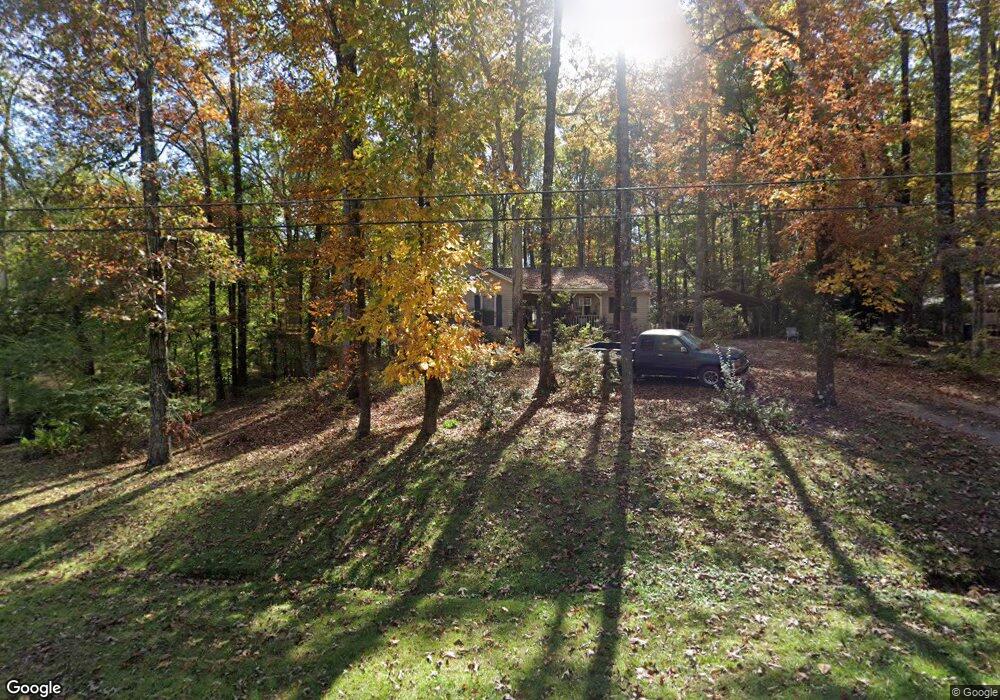
302 Cumberland Dr Lagrange, GA 30240
Estimated Value: $218,000 - $241,000
3
Beds
2
Baths
1,511
Sq Ft
$152/Sq Ft
Est. Value
About This Home
This home is located at 302 Cumberland Dr, Lagrange, GA 30240 and is currently estimated at $229,127, approximately $151 per square foot. 302 Cumberland Dr is a home located in Troup County with nearby schools including Long Cane Elementary School, Berta Weathersbee Elementary School, and Whitesville Road Elementary School.
Ownership History
Date
Name
Owned For
Owner Type
Purchase Details
Closed on
May 6, 1991
Sold by
Dan-Ric Inc
Bought by
Storie Gary W
Current Estimated Value
Purchase Details
Closed on
Feb 18, 1991
Sold by
Goldston Robert S and Goldston Suzanne R
Bought by
Dan-Ric Inc
Purchase Details
Closed on
Jun 29, 1987
Sold by
Jerry Averett Cont
Bought by
Goldston Robert S and Goldston Suzanne R
Purchase Details
Closed on
Feb 1, 1987
Sold by
Jack P Brown Etal
Bought by
Jerry Averett Cont
Purchase Details
Closed on
Jan 1, 1901
Bought by
Jack P Brown Etal
Create a Home Valuation Report for This Property
The Home Valuation Report is an in-depth analysis detailing your home's value as well as a comparison with similar homes in the area
Purchase History
| Date | Buyer | Sale Price | Title Company |
|---|---|---|---|
| Storie Gary W | $65,000 | -- | |
| Dan-Ric Inc | $65,000 | -- | |
| Goldston Robert S | $65,500 | -- | |
| Jerry Averett Cont | $13,700 | -- | |
| Jack P Brown Etal | -- | -- |
Source: Public Records
Tax History
| Year | Tax Paid | Tax Assessment Tax Assessment Total Assessment is a certain percentage of the fair market value that is determined by local assessors to be the total taxable value of land and additions on the property. | Land | Improvement |
|---|---|---|---|---|
| 2025 | $1,033 | $74,064 | $14,000 | $60,064 |
| 2024 | $1,033 | $64,796 | $14,000 | $50,796 |
| 2023 | $423 | $60,320 | $10,000 | $50,320 |
| 2022 | $790 | $54,680 | $8,000 | $46,680 |
| 2021 | $1,388 | $48,020 | $8,000 | $40,020 |
| 2020 | $1,388 | $48,020 | $8,000 | $40,020 |
| 2019 | $1,227 | $42,680 | $6,000 | $36,680 |
| 2018 | $1,236 | $42,960 | $6,280 | $36,680 |
| 2017 | $935 | $33,000 | $6,280 | $26,720 |
| 2016 | $936 | $33,016 | $6,308 | $26,708 |
| 2015 | $771 | $27,494 | $6,308 | $21,186 |
| 2014 | $738 | $26,379 | $6,308 | $20,071 |
| 2013 | -- | $28,111 | $6,308 | $21,803 |
Source: Public Records
Map
Nearby Homes
- 101 Ivy Springs Dr
- 311 Cumberland Dr
- 113 Colonial Ct Unit 100
- 474 Newton Rd
- 119 Plymouth Dr
- 104 Hidden Springs Dr
- 106 Landings Way
- 114 Riverbluff Dr
- 104 Landings Way
- 102 Landings Way
- 201 Lakeview Ct
- 640 Hudson Rd
- 109 Riverbluff Dr
- 135 Planters Ridge Dr
- 101 Riverbluff Dr
- 266 Glass Bridge Rd
- 3835 W Point Rd
- 104 Bridlewood Dr
- 103 Hawthorne Cir
- 124 Foxdale Dr
- 300 Cumberland Dr
- 304 Cumberland Dr
- 210 Lincoln Ln
- 220 Cumberland Dr Unit 11
- 220 Cumberland Dr
- 301 Cumberland Dr
- 208 Lincoln Ln
- 306 Cumberland Dr
- 211 Lincoln Ln
- 115 Timber Ridge Dr
- 218 Cumberland Dr
- 309 Washington Way
- 116 Timber Ridge Dr
- 308 Cumberland Dr
- 103 Ivy Springs Dr
- 113 Timber Ridge Dr
- 209 Lincoln Ln
- 307 Cumberland Dr
- 206 Lincoln Ln
- 114 Timber Ridge Dr
Your Personal Tour Guide
Ask me questions while you tour the home.