302 Curtis Corner Rd Unit D Wakefield, RI 02879
Estimated Value: $516,000 - $578,000
3
Beds
1
Bath
1,638
Sq Ft
$328/Sq Ft
Est. Value
About This Home
This home is located at 302 Curtis Corner Rd Unit D, Wakefield, RI 02879 and is currently estimated at $537,265, approximately $328 per square foot. 302 Curtis Corner Rd Unit D is a home located in Washington County with nearby schools including South Kingstown High School, The Compass School, and South Shore School.
Ownership History
Date
Name
Owned For
Owner Type
Purchase Details
Closed on
Jun 23, 1997
Sold by
Dickson Paul T
Bought by
Bessette Linda A
Current Estimated Value
Home Financials for this Owner
Home Financials are based on the most recent Mortgage that was taken out on this home.
Original Mortgage
$106,542
Interest Rate
7.87%
Create a Home Valuation Report for This Property
The Home Valuation Report is an in-depth analysis detailing your home's value as well as a comparison with similar homes in the area
Home Values in the Area
Average Home Value in this Area
Purchase History
| Date | Buyer | Sale Price | Title Company |
|---|---|---|---|
| Bessette Linda A | $107,500 | -- |
Source: Public Records
Mortgage History
| Date | Status | Borrower | Loan Amount |
|---|---|---|---|
| Open | Bessette Linda A | $145,900 | |
| Closed | Bessette Linda A | $102,400 | |
| Closed | Bessette Linda A | $8,345 | |
| Closed | Bessette Linda A | $106,542 |
Source: Public Records
Tax History
| Year | Tax Paid | Tax Assessment Tax Assessment Total Assessment is a certain percentage of the fair market value that is determined by local assessors to be the total taxable value of land and additions on the property. | Land | Improvement |
|---|---|---|---|---|
| 2025 | $3,681 | $411,800 | $187,900 | $223,900 |
| 2024 | $3,598 | $325,600 | $144,800 | $180,800 |
| 2023 | $3,598 | $325,600 | $144,800 | $180,800 |
| 2022 | $3,565 | $325,600 | $144,800 | $180,800 |
| 2021 | $3,615 | $250,200 | $119,800 | $130,400 |
| 2020 | $3,615 | $250,200 | $119,800 | $130,400 |
| 2019 | $3,615 | $250,200 | $119,800 | $130,400 |
| 2018 | $3,501 | $223,300 | $115,900 | $107,400 |
| 2017 | $3,419 | $223,300 | $115,900 | $107,400 |
| 2016 | $3,370 | $223,300 | $115,900 | $107,400 |
| 2015 | $3,224 | $207,700 | $109,000 | $98,700 |
| 2014 | $3,215 | $207,700 | $109,000 | $98,700 |
Source: Public Records
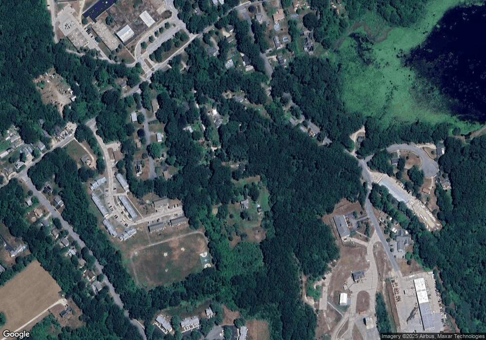
Map
Nearby Homes
- 507 Curtis Corner Rd
- 260 Sweet Allen Farm Rd Unit 3
- 57 Rocky Brook Way
- 0 South Rd Unit 1400966
- 5 Lookout Ln
- 5 Lookout Ln
- 8 Lookout Ln
- 24 Ridge Crest Ln
- 39 Secluded Dr
- 30 Fox Ridge Cir
- 301 Church St Unit 103
- 48 Stone Bridge Dr
- 23 Rockland Dr
- 11 Fox Ct
- 67 Stonehenge Rd
- 147 Francis Horn Dr
- 1724 South Rd
- 1729 South Rd Unit C
- 307 White Horn Dr
- 35 Abbey Rd
- 302 Curtis Corner Rd Unit G
- 302 Curtis Corner Rd Unit A
- 302 Curtis Corner Rd
- 302 Curtis Corner Rd Unit F
- 302 Curtis Corner Rd
- 302 Curtis Corner Rd Unit B
- 47 Asa Pond Rd
- 29 Asa Pond Rd
- 51 Asa Pond Rd
- 38 Asa Pond Rd
- 276 Curtis Corner Rd
- 71 Asa Pond Rd
- 298 Curtis Corner Rd
- 34 Asa Pond Rd
- 260 Curtis Corner Rd
- 240 Curtis Corner Rd
- 310 Curtis Corner Rd
- 230 Curtis Corner Rd
- 26 Mellbridge Dr
- 10 Mellbridge Dr
Your Personal Tour Guide
Ask me questions while you tour the home.