302 Devon St Manchester, NJ 08759
Manchester Township NeighborhoodEstimated Value: $619,163
2
Beds
2
Baths
1,660
Sq Ft
$373/Sq Ft
Est. Value
About This Home
This home is located at 302 Devon St, Manchester, NJ 08759 and is currently estimated at $619,163, approximately $372 per square foot. 302 Devon St is a home located in Ocean County with nearby schools including Manchester Township High School, Ocean Academy Charter School, and Ocean County Christian Academy.
Ownership History
Date
Name
Owned For
Owner Type
Purchase Details
Closed on
May 2, 2002
Sold by
Colombo Marilyn Ann
Bought by
Castellano Ralph
Current Estimated Value
Purchase Details
Closed on
Apr 1, 1998
Sold by
Marinello Anthony V and Marinello Joan
Bought by
Colombo Dominick and Colombo Marilyn
Home Financials for this Owner
Home Financials are based on the most recent Mortgage that was taken out on this home.
Original Mortgage
$127,900
Interest Rate
7.11%
Mortgage Type
Purchase Money Mortgage
Create a Home Valuation Report for This Property
The Home Valuation Report is an in-depth analysis detailing your home's value as well as a comparison with similar homes in the area
Home Values in the Area
Average Home Value in this Area
Purchase History
| Date | Buyer | Sale Price | Title Company |
|---|---|---|---|
| Castellano Ralph | $217,000 | -- | |
| Colombo Dominick | $159,900 | Chicago Title Insurance Co |
Source: Public Records
Mortgage History
| Date | Status | Borrower | Loan Amount |
|---|---|---|---|
| Previous Owner | Colombo Dominick | $127,900 | |
| Closed | Castellano Ralph | $0 |
Source: Public Records
Tax History Compared to Growth
Tax History
| Year | Tax Paid | Tax Assessment Tax Assessment Total Assessment is a certain percentage of the fair market value that is determined by local assessors to be the total taxable value of land and additions on the property. | Land | Improvement |
|---|---|---|---|---|
| 2025 | -- | $359,100 | $113,100 | $246,000 |
| 2024 | -- | $231,200 | $52,100 | $179,100 |
| 2023 | -- | $231,200 | $52,100 | $179,100 |
| 2022 | $0 | $231,200 | $52,100 | $179,100 |
| 2021 | $0 | $231,200 | $52,100 | $179,100 |
| 2020 | $4,878 | $231,200 | $52,100 | $179,100 |
| 2019 | $4,522 | $176,300 | $45,100 | $131,200 |
| 2018 | $4,504 | $176,300 | $45,100 | $131,200 |
| 2017 | $4,522 | $176,300 | $45,100 | $131,200 |
| 2016 | $4,467 | $176,300 | $45,100 | $131,200 |
| 2015 | $4,385 | $176,300 | $45,100 | $131,200 |
| 2014 | $4,295 | $176,300 | $45,100 | $131,200 |
Source: Public Records
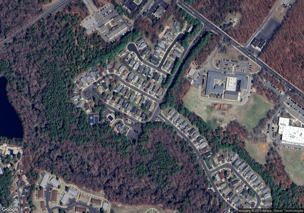
Map
Nearby Homes
- 509 Waterford Dr
- 126 Cardigan Ct
- 511 Waterford Dr
- 17C Sterling St
- 12B Yorkshire Ct
- 40B Edinburgh Ln
- 32D Sterling St Unit 261D
- 17 Rockingham Way
- 74C Buckingham Dr
- 74B Buckingham Dr
- 22B Buckingham Dr
- 56B Buckingham Dr Unit 146B
- 78D Buckingham Dr N
- 701 Flint Ct
- 29A Gramercy Ln
- 30A Cambridge Cir Unit A
- 32B Edinburgh Ln
- 18 Cambridge Cir Unit C
- 6D Gramercy Ln Unit 114D
- 19A Edinburgh Ln
- 304 Devon St
- 306 Devon St
- 402 Kingsridge Rd
- 403 Kingsridge Rd
- 301 Devon St
- 2002 Route 70 Unit 1ST FLOOR
- 2002 Route 70 Unit 2ND FLR
- 308 Devon St
- 303 Devon St
- 404 Kingsridge Rd
- 501 Waterford Dr
- 305 Devon St
- 310 Devon St
- 405 Kingsridge Rd
- 307 Devon St
- 503 Waterford Dr
- 309 Devon St
- 201 Bridport Place
- 312 Devon St
- 406 Kingsridge Rd