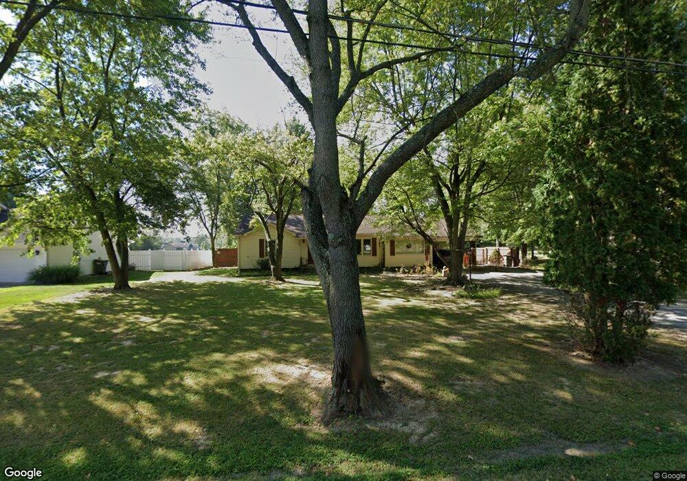
302 E Ford St Energy, IL 62933
Estimated Value: $127,967 - $194,000
Studio
--
Bath
1,424
Sq Ft
$114/Sq Ft
Est. Value
About This Home
This home is located at 302 E Ford St, Energy, IL 62933 and is currently estimated at $161,992, approximately $113 per square foot. 302 E Ford St is a home with nearby schools including North Side Primary Center, Herrin Community Elementary School, and Herrin Middle School.
Create a Home Valuation Report for This Property
The Home Valuation Report is an in-depth analysis detailing your home's value as well as a comparison with similar homes in the area
Home Values in the Area
Average Home Value in this Area
Tax History
| Year | Tax Paid | Tax Assessment Tax Assessment Total Assessment is a certain percentage of the fair market value that is determined by local assessors to be the total taxable value of land and additions on the property. | Land | Improvement |
|---|---|---|---|---|
| 2025 | $1,686 | $33,420 | $4,000 | $29,420 |
| 2024 | $1,760 | $33,420 | $4,000 | $29,420 |
| 2023 | $1,686 | $33,420 | $4,000 | $29,420 |
| 2022 | $1,186 | $29,440 | $3,520 | $25,920 |
| 2021 | $1,145 | $22,030 | $3,390 | $18,640 |
| 2020 | $1,145 | $20,810 | $3,200 | $17,610 |
| 2019 | $1,071 | $20,810 | $3,200 | $17,610 |
| 2018 | $1,071 | $20,810 | $3,200 | $17,610 |
| 2017 | $1,053 | $20,810 | $3,200 | $17,610 |
| 2015 | $1,011 | $19,710 | $3,030 | $16,680 |
| 2013 | $855 | $19,710 | $3,030 | $16,680 |
| 2012 | $855 | $19,710 | $3,030 | $16,680 |
Source: Public Records
Map
Nearby Homes
Your Personal Tour Guide
Ask me questions while you tour the home.