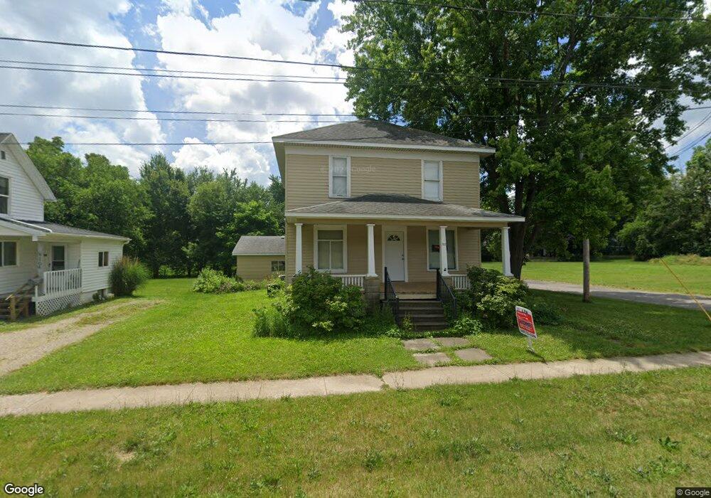
302 E Monroe St Owosso, MI 48867
Estimated Value: $93,000 - $139,387
Studio
--
Bath
--
Sq Ft
7,405
Sq Ft Lot
About This Home
This home is located at 302 E Monroe St, Owosso, MI 48867 and is currently estimated at $113,097. 302 E Monroe St is a home located in Shiawassee County with nearby schools including Owosso High School, Salem Lutheran School, and St. Paul School.
Ownership History
Date
Name
Owned For
Owner Type
Purchase Details
Closed on
Aug 27, 2024
Sold by
Hoffman James
Bought by
Hoffman James and Cruz Nekeyia M
Current Estimated Value
Home Financials for this Owner
Home Financials are based on the most recent Mortgage that was taken out on this home.
Original Mortgage
$98,135
Outstanding Balance
$97,093
Interest Rate
6.77%
Mortgage Type
VA
Estimated Equity
$16,004
Purchase Details
Closed on
Jun 12, 2023
Sold by
Lawrence Walter E
Bought by
Lawrence Carolyn Y
Create a Home Valuation Report for This Property
The Home Valuation Report is an in-depth analysis detailing your home's value as well as a comparison with similar homes in the area
Home Values in the Area
Average Home Value in this Area
Purchase History
| Date | Buyer | Sale Price | Title Company |
|---|---|---|---|
| Hoffman James | -- | None Listed On Document | |
| Hoffman James W | $95,000 | Ata National Title Group | |
| Lawrence Carolyn Y | -- | None Listed On Document |
Source: Public Records
Mortgage History
| Date | Status | Borrower | Loan Amount |
|---|---|---|---|
| Open | Hoffman James W | $98,135 |
Source: Public Records
Tax History
| Year | Tax Paid | Tax Assessment Tax Assessment Total Assessment is a certain percentage of the fair market value that is determined by local assessors to be the total taxable value of land and additions on the property. | Land | Improvement |
|---|---|---|---|---|
| 2025 | $2,338 | $59,700 | $0 | $0 |
| 2024 | $2,338 | $55,100 | $0 | $0 |
| 2023 | $1,038 | $49,400 | $0 | $0 |
| 2022 | $2,252 | $44,100 | $0 | $0 |
| 2021 | $2,149 | $42,200 | $0 | $0 |
| 2020 | $2,189 | $38,400 | $0 | $0 |
| 2019 | $1,543 | $33,700 | $0 | $0 |
| 2018 | -- | $33,000 | $0 | $0 |
| 2017 | -- | $32,500 | $0 | $0 |
| 2016 | -- | $32,500 | $0 | $0 |
| 2015 | -- | $31,900 | $0 | $0 |
| 2014 | -- | $31,500 | $0 | $0 |
Source: Public Records
Map
Nearby Homes
- 321 E Stewart St
- 209 W Stewart St
- 615 Broadway Ave
- 225 W Ridge St
- 631 Woodlawn Ave
- 915 Corunna Ave
- 315 Prindle St
- 906 Michigan Ave
- 1105 Palmer Ave
- 6 E Main St
- 414 Prindle St
- 5 E Main St
- 755 Woodlawn Ave
- 802 Woodlawn Ave
- 1002 S Shiawassee St
- 421 Prindle St
- 1131 S Shiawassee St
- 626 Lincoln Ave
- 211 N Ball St
- V/L Michigan 52
- 302 E Monroe St
- 302 E Monroe St
- 304 E Monroe St
- 312 E Monroe St
- 318 E Monroe St
- 213 E Stewart St
- 211 E Stewart St
- 701 S Park St
- 0 Cook Rd Unit 5632069
- 709 S Park St
- 713 S Park St
- 205 E Stewart St
- 607 Division St
- 611 Division St
- 320 E Stewart St
- 802 Division St
- 2666 wildwood ct Division St
- 310 Corunna Ave
- 613 Division St
- 306 Corunna Ave
Your Personal Tour Guide
Ask me questions while you tour the home.