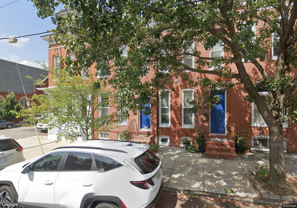
302 E Randall St Baltimore, MD 21230
Riverside NeighborhoodEstimated Value: $336,774 - $431,000
2
Beds
2
Baths
1,260
Sq Ft
$305/Sq Ft
Est. Value
About This Home
This home is located at 302 E Randall St, Baltimore, MD 21230 and is currently estimated at $383,887, approximately $304 per square foot. 302 E Randall St is a home located in Baltimore City with nearby schools including Thomas Johnson Elementary School, Booker T. Washington Middle School, and Digital Harbor High School.
Ownership History
Date
Name
Owned For
Owner Type
Purchase Details
Closed on
Oct 4, 2013
Sold by
Surety Realty Co Inc
Bought by
Urbanek David
Current Estimated Value
Purchase Details
Closed on
Aug 4, 2004
Sold by
Records Tracy L
Bought by
Urbanek David
Purchase Details
Closed on
Mar 12, 2004
Sold by
Records Tracy L
Bought by
Urbanek David
Purchase Details
Closed on
Jan 25, 2002
Sold by
Stewart Edward C
Bought by
Records Tracy L
Purchase Details
Closed on
Oct 5, 2001
Sold by
Stewart Edward C
Bought by
Stewart Edward C and Stewart Mary Donohue
Purchase Details
Closed on
Aug 1, 2000
Sold by
Surety Realty Co Inc
Bought by
Stewart Edward C and Donohue Mary
Create a Home Valuation Report for This Property
The Home Valuation Report is an in-depth analysis detailing your home's value as well as a comparison with similar homes in the area
Home Values in the Area
Average Home Value in this Area
Purchase History
| Date | Buyer | Sale Price | Title Company |
|---|---|---|---|
| Urbanek David | $1,200 | None Available | |
| Urbanek David | $275,000 | -- | |
| Urbanek David | $275,000 | -- | |
| Records Tracy L | $174,000 | -- | |
| Stewart Edward C | -- | -- | |
| Stewart Edward C | $144,000 | -- |
Source: Public Records
Tax History
| Year | Tax Paid | Tax Assessment Tax Assessment Total Assessment is a certain percentage of the fair market value that is determined by local assessors to be the total taxable value of land and additions on the property. | Land | Improvement |
|---|---|---|---|---|
| 2025 | $7,134 | $315,067 | -- | -- |
| 2024 | $7,134 | $303,733 | -- | -- |
| 2023 | $6,868 | $292,400 | $80,000 | $212,400 |
| 2022 | $6,805 | $288,333 | $0 | $0 |
| 2021 | $6,709 | $284,267 | $0 | $0 |
| 2020 | $6,613 | $280,200 | $80,000 | $200,200 |
| 2019 | $6,581 | $280,200 | $80,000 | $200,200 |
| 2018 | $6,613 | $280,200 | $80,000 | $200,200 |
| 2017 | $6,088 | $284,000 | $0 | $0 |
| 2016 | $5,210 | $274,633 | $0 | $0 |
| 2015 | $5,210 | $265,267 | $0 | $0 |
| 2014 | $5,210 | $255,900 | $0 | $0 |
Source: Public Records
Map
Nearby Homes
- 1523 William St
- 214 E Fort Ave
- 1452 Battery Ave
- 1447 William St
- 1519 Henry St
- 1513 Byrd St
- 442 E Fort Ave
- 405 E Clement St
- 1520 Byrd St
- 1603 Covington St
- 432 E Clement St
- 438 E Clement St
- 443 E Gittings St
- 1720 Byrd St
- 232 E Barney St
- 1271 Battery Ave
- 1519 Marshall St
- 1434 Light St
- 132 E Gittings St
- 1436 Light St
- 300 E Randall St
- 304 E Randall St
- 306 E Randall St
- 308 E Randall St
- 1527 Battery Ave
- 310 E Randall St
- 1525 Battery Ave
- 1523 Battery Ave
- 1521 Battery Ave
- 312 E Randall St
- 1519 Battery Ave
- 1517 Battery Ave
- 212 E Randall St
- 1532 Riverside Ave
- 1534 Riverside Ave
- 1530 Riverside Ave
- 1528 Riverside Ave
- 1515 Battery Ave
- 1526 Riverside Ave
- 1524 Riverside Ave
Your Personal Tour Guide
Ask me questions while you tour the home.