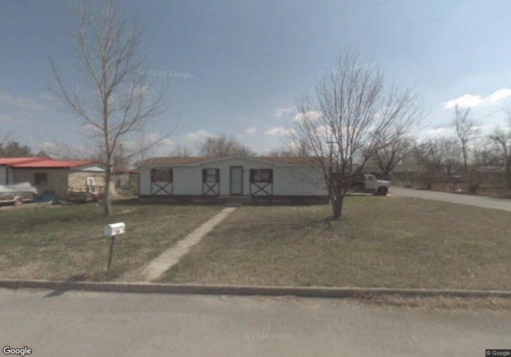
302 Earl Smith Rd Locust Grove, OK 74352
Estimated Value: $120,474 - $245,000
3
Beds
2
Baths
1,152
Sq Ft
$157/Sq Ft
Est. Value
About This Home
This home is located at 302 Earl Smith Rd, Locust Grove, OK 74352 and is currently estimated at $180,619, approximately $156 per square foot. 302 Earl Smith Rd is a home located in Mayes County with nearby schools including Locust Grove Early Lrning Center, Locust Grove Upper Elementary School, and Locust Grove Middle School.
Ownership History
Date
Name
Owned For
Owner Type
Purchase Details
Closed on
Jan 25, 2022
Sold by
Dustin Cottom Clement
Bought by
Ingram Series Llc
Current Estimated Value
Purchase Details
Closed on
Jan 5, 2018
Sold by
Harp Larry
Bought by
Lngram Serice Llc
Purchase Details
Closed on
Jan 21, 2010
Sold by
Mayes County Treasurer
Bought by
Harp Larry
Purchase Details
Closed on
Jan 17, 2003
Sold by
Kennedy Homes Inc
Bought by
Peckenpaugh Kelly D'Ann
Create a Home Valuation Report for This Property
The Home Valuation Report is an in-depth analysis detailing your home's value as well as a comparison with similar homes in the area
Home Values in the Area
Average Home Value in this Area
Purchase History
| Date | Buyer | Sale Price | Title Company |
|---|---|---|---|
| Ingram Series Llc | $21,500 | None Listed On Document | |
| Ingram Series Llc | $21,500 | None Listed On Document | |
| Lngram Serice Llc | $28,000 | None Available | |
| Harp Larry | $509 | None Available | |
| Peckenpaugh Kelly D'Ann | $39,500 | -- | |
| Kennedy Homes, Inc | -- | -- |
Source: Public Records
Tax History Compared to Growth
Tax History
| Year | Tax Paid | Tax Assessment Tax Assessment Total Assessment is a certain percentage of the fair market value that is determined by local assessors to be the total taxable value of land and additions on the property. | Land | Improvement |
|---|---|---|---|---|
| 2025 | $583 | $6,586 | $1,326 | $5,260 |
| 2024 | $583 | $6,272 | $1,109 | $5,163 |
| 2023 | $583 | $5,973 | $925 | $5,048 |
| 2022 | $513 | $5,688 | $764 | $4,924 |
| 2021 | $499 | $5,418 | $764 | $4,654 |
| 2020 | $483 | $5,160 | $764 | $4,396 |
| 2019 | $538 | $5,745 | $764 | $4,981 |
| 2018 | $427 | $4,474 | $1,232 | $3,242 |
| 2017 | $427 | $4,474 | $1,232 | $3,242 |
| 2016 | $417 | $4,474 | $1,232 | $3,242 |
| 2015 | $431 | $4,474 | $1,232 | $3,242 |
| 2014 | $431 | $4,474 | $1,232 | $3,242 |
Source: Public Records
Map
Nearby Homes
- 000 Earl Smith Rd
- 1 W Ross St
- 212 N Mayes St
- 310 W Harrison
- 0 Peach St
- 8604 S County Road 4468
- 301 S Water St
- 00 Hill St
- 57 Joe Koelsch Dr
- 0 Orange St
- 207 Orange St
- 815 S Cherokee St
- 715 S Cherokee St
- 608 S Cherokee St
- 10171 U S Highway 412
- 149 SE 4404 Loop
- 6164 E 578
- 6959 E 561 Rd
- 173 Dove Rd
- 51 Covey Rd
- 304 Earl Smith Rd
- 305 Earl Smith Rd
- 301 Earl Smith Rd
- 306 Earl Smith Rd
- 303 N Wyandotte
- 219 N Wyandotte
- 335 N Wyandotte
- 309 Earl Smith Rd
- 405 E Ross
- 313 Earl Smith Rd
- 211 N Wyandotte
- 339 N Wyandotte
- 304 N Wyandotte
- 0 Sargear St Unit 2218971
- 320 N Wyandotte
- 405 W Ross St
- 330 N Wyandotte
- 402 Earl Smith Rd
- 220 N Wyandotte
- 7747 S 439