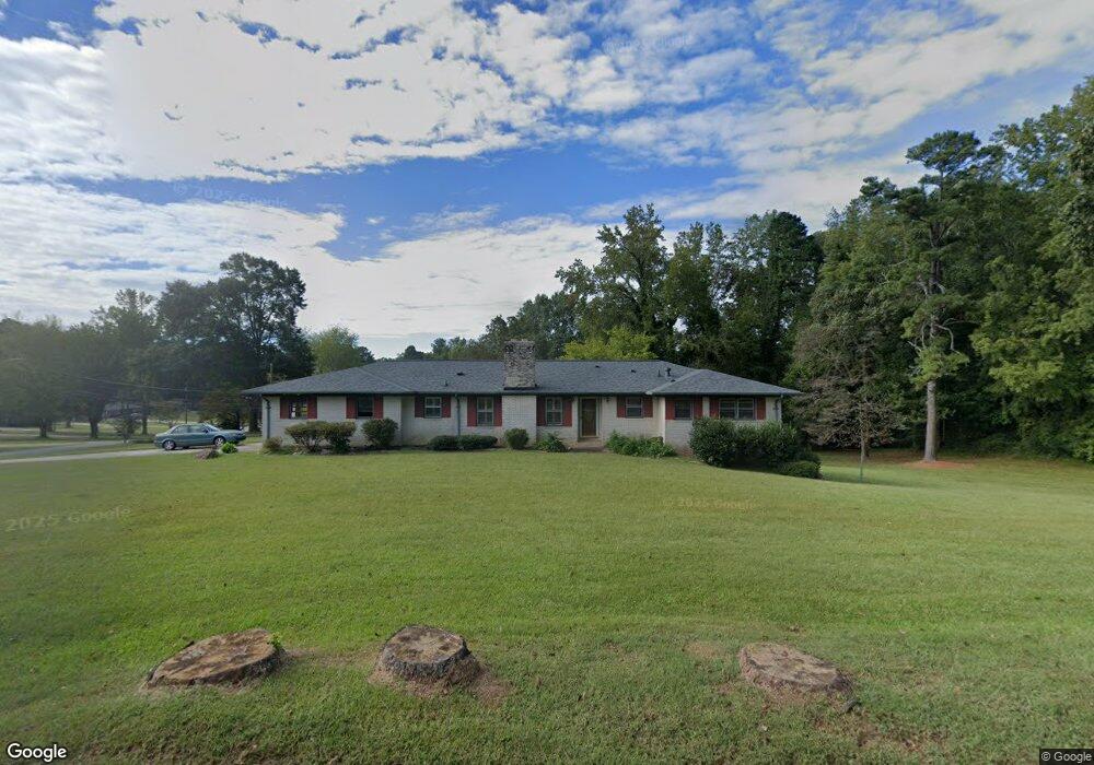
302 Edwards St Bremen, GA 30110
Estimated Value: $257,000 - $304,000
3
Beds
3
Baths
1,597
Sq Ft
$174/Sq Ft
Est. Value
About This Home
This home is located at 302 Edwards St, Bremen, GA 30110 and is currently estimated at $277,497, approximately $173 per square foot. 302 Edwards St is a home located in Haralson County with nearby schools including Jones Elementary School, Bremen 4th & 5th Grade Academy, and Bremen Middle School.
Ownership History
Date
Name
Owned For
Owner Type
Purchase Details
Closed on
Feb 5, 2004
Sold by
Mcneese Michael H and Mcneese Toni M
Bought by
Springer Burnie
Current Estimated Value
Purchase Details
Closed on
Jan 9, 2002
Sold by
Wade James Michael
Bought by
Mcneese Michael H and Mcneese Toni M
Purchase Details
Closed on
Jun 17, 1998
Sold by
Wade L
Bought by
Wade J Michael
Purchase Details
Closed on
Jun 12, 1997
Sold by
Wade Truman
Bought by
Wade J Michael
Purchase Details
Closed on
Nov 2, 1990
Sold by
Wade Myrtle S
Bought by
Wade Truman
Purchase Details
Closed on
Aug 9, 1987
Sold by
Wade Truman
Bought by
Wade Myrtle S
Create a Home Valuation Report for This Property
The Home Valuation Report is an in-depth analysis detailing your home's value as well as a comparison with similar homes in the area
Home Values in the Area
Average Home Value in this Area
Purchase History
| Date | Buyer | Sale Price | Title Company |
|---|---|---|---|
| Springer Burnie | $140,000 | -- | |
| Mcneese Michael H | $133,900 | -- | |
| Wade J Michael | -- | -- | |
| Wade J Michael | -- | -- | |
| Wade Truman | -- | -- | |
| Wade Myrtle S | -- | -- |
Source: Public Records
Tax History
| Year | Tax Paid | Tax Assessment Tax Assessment Total Assessment is a certain percentage of the fair market value that is determined by local assessors to be the total taxable value of land and additions on the property. | Land | Improvement |
|---|---|---|---|---|
| 2025 | $1,648 | $132,784 | $12,720 | $120,064 |
| 2024 | $1,648 | $71,718 | $7,330 | $64,388 |
| 2023 | $1,866 | $74,583 | $7,330 | $67,253 |
| 2022 | $502 | $60,102 | $7,330 | $52,772 |
| 2021 | $494 | $56,952 | $7,330 | $49,622 |
| 2020 | $505 | $57,704 | $7,330 | $50,374 |
| 2019 | $492 | $54,813 | $7,330 | $47,483 |
| 2018 | $498 | $54,813 | $7,330 | $47,483 |
| 2017 | $554 | $48,756 | $7,330 | $41,426 |
| 2016 | $516 | $43,557 | $7,330 | $36,227 |
| 2015 | $507 | $42,695 | $7,330 | $35,366 |
| 2014 | $550 | $43,166 | $7,272 | $35,894 |
Source: Public Records
Map
Nearby Homes
- 225 Edwards St
- 116 Edwards St
- 0 Sewell Rd Unit 10624236
- 0 Sewell Rd Unit 7665305
- 6315 Highway 78
- 115 Price St
- 111 Ayers St
- 113 Maple St
- 319 Stonebridge Blvd
- 321 Stonebridge Blvd
- 153 Crest Pointe
- 214 Gordon St
- 0 Mt Zion St Unit 7399245
- 415 Mount Zion St
- 4000 Highway 78
- 4711 Highway 78 Unit 235
- 4711 Highway 78
- 235 Bryan Dr
- 1830 US Highway 27
- 111 Bryan St W
Your Personal Tour Guide
Ask me questions while you tour the home.