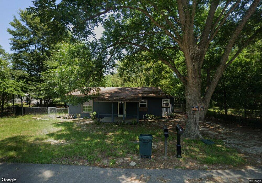
302 Elm St Dexter, GA 31019
Estimated Value: $72,334 - $175,000
2
Beds
2
Baths
1,068
Sq Ft
$116/Sq Ft
Est. Value
About This Home
This home is located at 302 Elm St, Dexter, GA 31019 and is currently estimated at $124,084, approximately $116 per square foot. 302 Elm St is a home located in Laurens County with nearby schools including Southwest Laurens Elementary School, Northwest Laurens Elementary School, and East Laurens Primary School.
Ownership History
Date
Name
Owned For
Owner Type
Purchase Details
Closed on
Feb 7, 2006
Sold by
Pettis Dylan S
Bought by
D & E Development Llc
Current Estimated Value
Purchase Details
Closed on
Mar 11, 2005
Sold by
Mullis Donna
Bought by
Pettis Dylan S Haskins Eric
Purchase Details
Closed on
Aug 29, 2003
Sold by
Hudson Ira and Hudson Pearlie
Bought by
Mullis Donna
Purchase Details
Closed on
Sep 9, 1909
Bought by
Hudson Ira and Hudson Pearlie
Create a Home Valuation Report for This Property
The Home Valuation Report is an in-depth analysis detailing your home's value as well as a comparison with similar homes in the area
Home Values in the Area
Average Home Value in this Area
Purchase History
| Date | Buyer | Sale Price | Title Company |
|---|---|---|---|
| D & E Development Llc | -- | -- | |
| Pettis Dylan S Haskins Eric | $51,000 | -- | |
| Mullis Donna | $21,000 | -- | |
| Hudson Ira | -- | -- |
Source: Public Records
Tax History Compared to Growth
Tax History
| Year | Tax Paid | Tax Assessment Tax Assessment Total Assessment is a certain percentage of the fair market value that is determined by local assessors to be the total taxable value of land and additions on the property. | Land | Improvement |
|---|---|---|---|---|
| 2024 | $292 | $12,320 | $2,576 | $9,744 |
| 2023 | $281 | $11,752 | $2,576 | $9,176 |
| 2022 | $250 | $11,752 | $2,576 | $9,176 |
| 2021 | $242 | $11,088 | $1,760 | $9,328 |
| 2020 | $242 | $11,088 | $1,760 | $9,328 |
| 2019 | $242 | $11,088 | $1,760 | $9,328 |
| 2018 | $242 | $11,088 | $1,760 | $9,328 |
| 2017 | $242 | $11,088 | $1,760 | $9,328 |
| 2016 | $243 | $11,088 | $1,760 | $9,328 |
| 2015 | $243 | $11,088 | $1,760 | $9,328 |
| 2014 | $215 | $9,600 | $1,450 | $8,149 |
Source: Public Records
Map
Nearby Homes
- 604 Shy St
- 106 Line St
- 312 Mullis St
- 122 Lord Hatcher Dr
- 120 Lord Hatcher Dr
- 127 Lord Hatcher Dr
- 509 Lakeview Dr
- 1017 Daniel Estates Dr
- 138 Whipporwill Way
- 00 Dublin Eastman Rd
- 0 Mark Wood Rd Unit LOT 8 10586662
- 0 Mark Wood Rd Unit LOT 10 10586658
- 0 Mark Wood Rd Unit 10553281
- 2160 Wall Rd
- 0 Springhaven Rd Unit LOT 19 10589733
- 0 Springhaven Rd Unit LOT 18 10589731
- 2115 Dublin Eastman Rd
- 0 Dublin Eastman Rd Unit 10582063
- 1251 Mark Wood Rd
- 1617 Dublin Eastman Rd