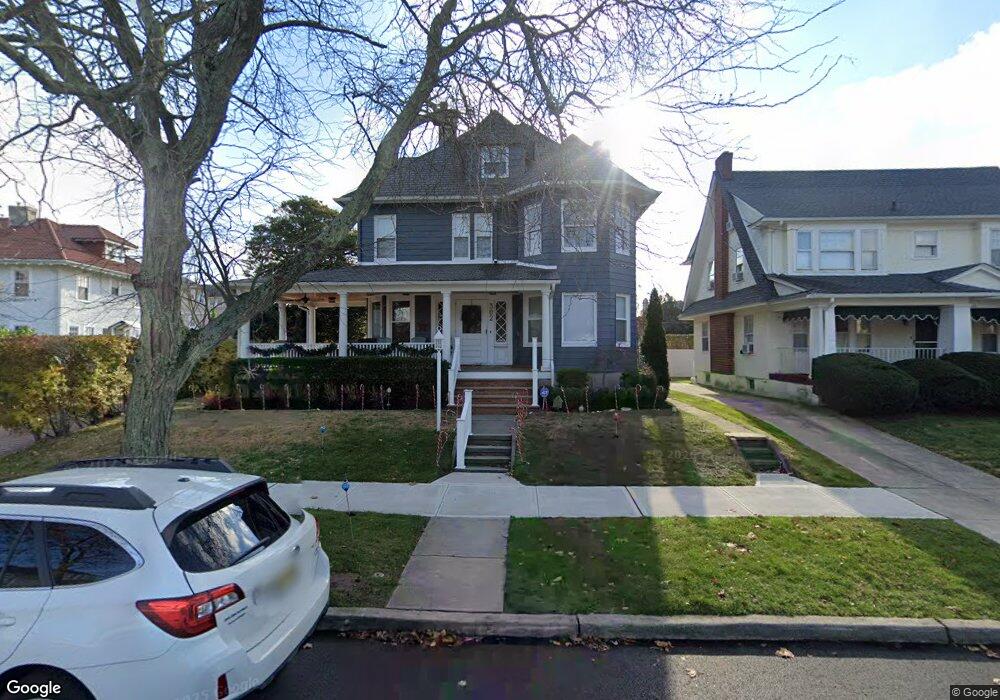
302 Euclid Ave Allenhurst, NJ 07711
Estimated Value: $2,278,900 - $2,443,000
2
Beds
2
Baths
2,480
Sq Ft
$949/Sq Ft
Est. Value
About This Home
This home is located at 302 Euclid Ave, Allenhurst, NJ 07711 and is currently estimated at $2,353,725, approximately $949 per square foot. 302 Euclid Ave is a home located in Monmouth County with nearby schools including Ocean Township High School, Hope Academy Charter School, and St. Mary of the Assumption School.
Ownership History
Date
Name
Owned For
Owner Type
Purchase Details
Closed on
Apr 29, 1998
Sold by
Bolowsky John
Bought by
Loushine Michael
Current Estimated Value
Home Financials for this Owner
Home Financials are based on the most recent Mortgage that was taken out on this home.
Original Mortgage
$266,000
Outstanding Balance
$51,703
Interest Rate
7.04%
Estimated Equity
$2,302,022
Create a Home Valuation Report for This Property
The Home Valuation Report is an in-depth analysis detailing your home's value as well as a comparison with similar homes in the area
Home Values in the Area
Average Home Value in this Area
Purchase History
| Date | Buyer | Sale Price | Title Company |
|---|---|---|---|
| Loushine Michael | $295,000 | -- |
Source: Public Records
Mortgage History
| Date | Status | Borrower | Loan Amount |
|---|---|---|---|
| Open | Loushine Michael | $266,000 |
Source: Public Records
Tax History
| Year | Tax Paid | Tax Assessment Tax Assessment Total Assessment is a certain percentage of the fair market value that is determined by local assessors to be the total taxable value of land and additions on the property. | Land | Improvement |
|---|---|---|---|---|
| 2025 | $8,108 | $2,421,900 | $1,648,400 | $773,500 |
| 2024 | $7,502 | $2,239,800 | $1,502,300 | $737,500 |
Source: Public Records
Map
Nearby Homes
- 205 Edgemont Dr Unit 1
- 205 Edgemont Dr Unit 2
- 205 Edgemont Dr Unit 3
- 205 Edgemont Dr Unit BUILDING
- 112 Euclid Ave
- 400 Deal Lake Dr Unit 3J
- 400 Deal Lake Dr Unit 6G
- 400 Deal Lake Dr Unit 2L
- 400 Deal Lake Dr Unit 8F
- 400 Deal Lake Dr Unit 7H & 7G
- 400 Deal Lake Dr Unit 6E
- 400 Deal Lake Dr Unit 3K
- 304 Deal Lake Dr Unit 35
- 1706 Park Ave Unit 2d
- 309 Hume St
- 1701 Park Ave Unit 2C
- 1702 Grand Ave
- 510 Deal Lake Dr Unit 8J
- 110 Corlies Ave Unit A
- 302 Deal Lake Dr Unit 20
- 304 Euclid Ave
- 11 Norwood Ave S
- 306 Euclid Ave
- 7 Norwood Ave S
- 308 Euclid Ave
- 307 Edgemont Dr
- 305 Edgemont Dr
- 101 Norwood Ave S
- 309 Edgemont Dr
- 305 Euclid Ave
- 312 Euclid Ave
- 311 Euclid Ave
- 313 Edgemont Dr
- 216 Euclid Ave
- 219 Euclid Ave
- 309 Euclid Ave
- 12 Norwood Ave S
- 313 Euclid Ave
- 316 Euclid Ave
- 8 Norwood Ave S
Your Personal Tour Guide
Ask me questions while you tour the home.