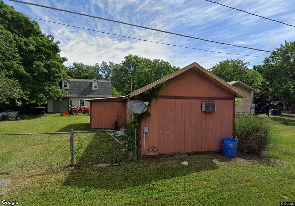
302 Flint St Lanagan, MO 64847
Estimated Value: $57,000 - $57,028
Studio
--
Bath
948
Sq Ft
$60/Sq Ft
Est. Value
About This Home
This home is located at 302 Flint St, Lanagan, MO 64847 and is currently estimated at $57,014, approximately $60 per square foot. 302 Flint St is a home with nearby schools including McDonald County High School.
Ownership History
Date
Name
Owned For
Owner Type
Purchase Details
Closed on
Nov 4, 2011
Sold by
Fannie Mae
Bought by
Heins Joseph
Current Estimated Value
Home Financials for this Owner
Home Financials are based on the most recent Mortgage that was taken out on this home.
Original Mortgage
$64,355
Interest Rate
3.99%
Mortgage Type
Unknown
Purchase Details
Closed on
Jun 21, 2011
Sold by
Sanchez Amy M and Sanchez Bernabe
Bought by
Fannie Mae and Federal National Mortgage Association
Purchase Details
Closed on
Jul 5, 2007
Sold by
Mitchell Gary and Mitchell Louise
Bought by
Sanchez Amy M
Home Financials for this Owner
Home Financials are based on the most recent Mortgage that was taken out on this home.
Original Mortgage
$35,500
Interest Rate
6.37%
Mortgage Type
New Conventional
Create a Home Valuation Report for This Property
The Home Valuation Report is an in-depth analysis detailing your home's value as well as a comparison with similar homes in the area
Purchase History
| Date | Buyer | Sale Price | Title Company |
|---|---|---|---|
| Heins Joseph | -- | None Available | |
| Fannie Mae | $29,792 | Continental Title | |
| Sanchez Amy M | -- | None Available |
Source: Public Records
Mortgage History
| Date | Status | Borrower | Loan Amount |
|---|---|---|---|
| Closed | Heins Joseph | $64,355 | |
| Previous Owner | Sanchez Amy M | $35,500 |
Source: Public Records
Tax History
| Year | Tax Paid | Tax Assessment Tax Assessment Total Assessment is a certain percentage of the fair market value that is determined by local assessors to be the total taxable value of land and additions on the property. | Land | Improvement |
|---|---|---|---|---|
| 2025 | $248 | $6,750 | $0 | $0 |
| 2024 | $248 | $6,260 | $0 | $0 |
| 2023 | $248 | $6,260 | $0 | $0 |
| 2022 | $248 | $6,260 | $0 | $0 |
| 2021 | $248 | $6,260 | $0 | $0 |
| 2020 | $224 | $5,640 | $0 | $0 |
| 2019 | $224 | $5,640 | $0 | $0 |
| 2018 | $217 | $5,440 | $0 | $0 |
| 2017 | $217 | $5,440 | $0 | $0 |
| 2016 | $217 | $5,440 | $0 | $0 |
| 2015 | -- | $5,440 | $0 | $0 |
| 2014 | -- | $5,440 | $0 | $0 |
Source: Public Records
Map
Nearby Homes
- 300 Summit Ln
- 300 Summit Dr
- 20.2 Acres Hobbs Rd
- 20.2 Hobbs Rd
- 72 Elk Springs Rd
- 162 Hobbs Rd
- 853 Elk Springs Rd
- 112 Cottage Brook Cir
- 3.9 Kilby Ln
- 129 Riverview Dr
- 144 Riverview Dr
- 80 Pleasant Ridge Rd
- 80 Pleasant Ridge Tract A
- Lot 3 Cottage Brook Cir
- 40 Acres Business Hwy 71
- 802 W Highway 76
- 209 Mill St
- Lot 1 Cottage Brook Cir
- 411 Beaver Circle Dr
- 307 Beaver St
Your Personal Tour Guide
Ask me questions while you tour the home.