302 Flyway Rd Unit 149 Goose Creek, SC 29445
Estimated Value: $237,582 - $260,000
2
Beds
2
Baths
1,134
Sq Ft
$221/Sq Ft
Est. Value
About This Home
This home is located at 302 Flyway Rd Unit 149, Goose Creek, SC 29445 and is currently estimated at $251,146, approximately $221 per square foot. 302 Flyway Rd Unit 149 is a home located in Berkeley County with nearby schools including Mount Holly Elementary, Sedgefield Middle School, and Goose Creek High School.
Ownership History
Date
Name
Owned For
Owner Type
Purchase Details
Closed on
Jan 8, 2018
Sold by
Moore Willie J
Bought by
Ama Lba Ira Llc
Current Estimated Value
Purchase Details
Closed on
Mar 12, 2010
Sold by
Centex Homes
Bought by
Moore Willie J
Home Financials for this Owner
Home Financials are based on the most recent Mortgage that was taken out on this home.
Original Mortgage
$116,874
Interest Rate
4.87%
Mortgage Type
FHA
Create a Home Valuation Report for This Property
The Home Valuation Report is an in-depth analysis detailing your home's value as well as a comparison with similar homes in the area
Home Values in the Area
Average Home Value in this Area
Purchase History
| Date | Buyer | Sale Price | Title Company |
|---|---|---|---|
| Ama Lba Ira Llc | $121,000 | None Available | |
| Moore Willie J | $119,031 | -- |
Source: Public Records
Mortgage History
| Date | Status | Borrower | Loan Amount |
|---|---|---|---|
| Previous Owner | Moore Willie J | $116,874 |
Source: Public Records
Tax History Compared to Growth
Tax History
| Year | Tax Paid | Tax Assessment Tax Assessment Total Assessment is a certain percentage of the fair market value that is determined by local assessors to be the total taxable value of land and additions on the property. | Land | Improvement |
|---|---|---|---|---|
| 2025 | $2,694 | $150,420 | $24,883 | $125,537 |
| 2024 | $2,694 | $9,025 | $1,493 | $7,532 |
| 2023 | $2,694 | $9,025 | $1,493 | $7,532 |
| 2022 | $2,550 | $7,848 | $1,320 | $6,528 |
| 2021 | $2,614 | $7,850 | $1,320 | $6,528 |
| 2020 | $2,559 | $7,848 | $1,320 | $6,528 |
| 2019 | $2,514 | $7,848 | $1,320 | $6,528 |
| 2018 | $668 | $3,420 | $800 | $2,620 |
| 2017 | $663 | $3,420 | $800 | $2,620 |
| 2016 | $1,806 | $5,130 | $1,200 | $3,930 |
| 2015 | $1,737 | $5,130 | $1,200 | $3,930 |
| 2014 | $1,594 | $5,130 | $1,200 | $3,930 |
| 2013 | -- | $5,130 | $1,200 | $3,930 |
Source: Public Records
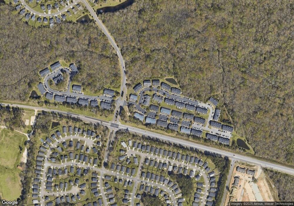
Map
Nearby Homes
- 126 Woodward Rd
- 338 Flyway Rd
- 141 Woodward Rd
- 315 Flyway Rd
- 380 Flyway Rd
- 192 Woodward Rd
- 00 Liberty Hall Rd
- 346 Briarbend Rd
- 339 Briarbend Rd
- 000 Liberty Hall Rd
- 300 Burton Ct
- 105 Lovette Ct
- 300 Greens Ct
- 407 Green Park Ln
- 18 Teaneck Rd
- 116 Slow Mill Dr
- 30 Bonnie Burn Rd
- 37 Delaware Rd
- 20 Bonnie Burn Rd
- 106 Cordoba Ct
- 302 Flyway Rd
- 304 Flyway Rd
- 300 Flyway Rd
- 306 Flyway Rd
- 308 Flyway Rd
- 122 Woodward Rd
- 122 Woodward Rd Unit 85
- 124 Woodward Rd
- 124 Woodward Rd Unit 84
- 334 Flyway Rd
- 126 Woodward Rd Unit 83
- 106 Woodward Rd
- 336 Flyway Rd
- 128 Woodward Rd
- 104 Woodward Rd
- 340 Flyway Rd
- 130 Woodward Rd
- 130 Woodward Rd Unit 81
- 342 Flyway Rd
- 113 Woodward Rd