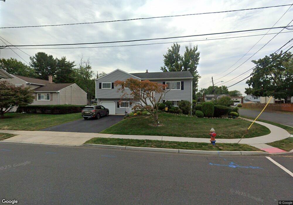
302 Harris Ave Middlesex, NJ 08846
Estimated Value: $546,689 - $614,000
Studio
--
Bath
2,016
Sq Ft
$294/Sq Ft
Est. Value
About This Home
This home is located at 302 Harris Ave, Middlesex, NJ 08846 and is currently estimated at $592,422, approximately $293 per square foot. 302 Harris Ave is a home located in Middlesex County with nearby schools including Middlesex High School and Our Lady of Mount Virgin School.
Ownership History
Date
Name
Owned For
Owner Type
Purchase Details
Closed on
Jan 28, 2009
Sold by
Cesare Linda Pollard
Bought by
Pollard Linda and Cesare Linda Pollard
Current Estimated Value
Home Financials for this Owner
Home Financials are based on the most recent Mortgage that was taken out on this home.
Original Mortgage
$210,000
Interest Rate
5.14%
Mortgage Type
Purchase Money Mortgage
Create a Home Valuation Report for This Property
The Home Valuation Report is an in-depth analysis detailing your home's value as well as a comparison with similar homes in the area
Home Values in the Area
Average Home Value in this Area
Purchase History
| Date | Buyer | Sale Price | Title Company |
|---|---|---|---|
| Pollard Linda | $285,000 | Greenbrook Title Agency Llc |
Source: Public Records
Mortgage History
| Date | Status | Borrower | Loan Amount |
|---|---|---|---|
| Closed | Pollard Linda | $210,000 |
Source: Public Records
Tax History
| Year | Tax Paid | Tax Assessment Tax Assessment Total Assessment is a certain percentage of the fair market value that is determined by local assessors to be the total taxable value of land and additions on the property. | Land | Improvement |
|---|---|---|---|---|
| 2025 | $10,867 | $523,300 | $142,600 | $380,700 |
| 2024 | $10,345 | $469,600 | $142,600 | $327,000 |
Source: Public Records
Map
Nearby Homes
- 134 Benart Place
- 241 Cook Ave
- 310 Howard Ave
- 531 Harris Ave
- 101 Lorraine Ave
- 407 Clinton Ave
- 533 Edgeworth St
- 544 Edgeworth St
- 230 Melrose Ave
- 643 Drake Ave
- 116 Greene Ave
- 212 Vesper Ave
- 238 Luca Dr
- 238 Luca Dr Unit 8
- 531 Chestnut St
- 230 Vasser Dr
- 168 Forest Dr
- 52 Greenbrook Rd
- 303 Ashland Rd
- 57 Greenbrook Rd
- 304 Harris Ave
- 1 Woodland Ave S
- 5 Woodland Ave S
- 306 Harris Ave
- 298 Harris Ave
- 149 Benart Place
- 233 Harris Ave
- 308 Harris Ave
- 309 Harris Ave
- 296 Harris Ave
- 9 Woodland Ave S
- 145 Benart Place
- 313 Harris Ave
- 2 Woodland Ave S
- 302 Giles Ave
- 11 Linden St
- 306 Giles Ave
- 310 Harris Ave
- 11 Woodland Ave
- 294 Harris Ave
Your Personal Tour Guide
Ask me questions while you tour the home.