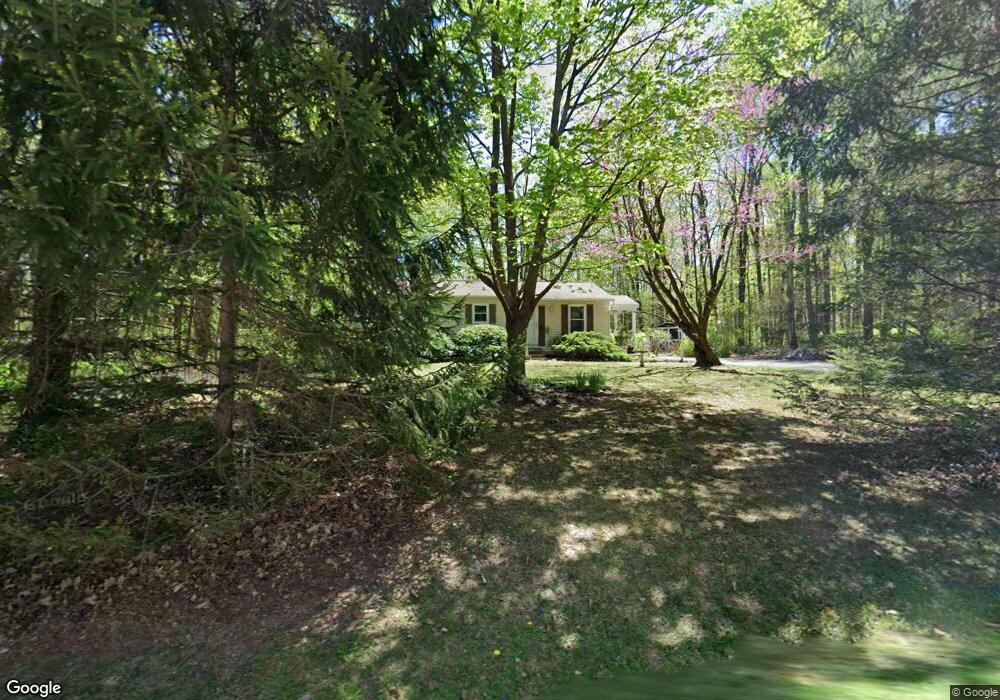
302 Hill Rd Honey Brook, PA 19344
Estimated Value: $416,000 - $476,000
4
Beds
2
Baths
2,321
Sq Ft
$193/Sq Ft
Est. Value
About This Home
This home is located at 302 Hill Rd, Honey Brook, PA 19344 and is currently estimated at $449,060, approximately $193 per square foot. 302 Hill Rd is a home located in Chester County with nearby schools including Kings Highway Elementary School, Coatesville Intermediate High School, and Coatesville Area Senior High School.
Ownership History
Date
Name
Owned For
Owner Type
Purchase Details
Closed on
Mar 26, 2004
Sold by
Jenzano John and Jenzano Joseph
Bought by
Bradley Kathryn F
Current Estimated Value
Home Financials for this Owner
Home Financials are based on the most recent Mortgage that was taken out on this home.
Original Mortgage
$173,600
Outstanding Balance
$81,352
Interest Rate
5.6%
Mortgage Type
Purchase Money Mortgage
Estimated Equity
$367,708
Create a Home Valuation Report for This Property
The Home Valuation Report is an in-depth analysis detailing your home's value as well as a comparison with similar homes in the area
Home Values in the Area
Average Home Value in this Area
Purchase History
| Date | Buyer | Sale Price | Title Company |
|---|---|---|---|
| Bradley Kathryn F | $217,000 | -- |
Source: Public Records
Mortgage History
| Date | Status | Borrower | Loan Amount |
|---|---|---|---|
| Open | Bradley Kathryn F | $173,600 |
Source: Public Records
Tax History Compared to Growth
Tax History
| Year | Tax Paid | Tax Assessment Tax Assessment Total Assessment is a certain percentage of the fair market value that is determined by local assessors to be the total taxable value of land and additions on the property. | Land | Improvement |
|---|---|---|---|---|
| 2025 | $7,058 | $142,970 | $35,290 | $107,680 |
| 2024 | $7,058 | $142,970 | $35,290 | $107,680 |
| 2023 | $6,794 | $142,970 | $35,290 | $107,680 |
| 2022 | $6,468 | $142,970 | $35,290 | $107,680 |
| 2021 | $6,363 | $142,970 | $35,290 | $107,680 |
| 2020 | $6,229 | $142,970 | $35,290 | $107,680 |
| 2019 | $6,022 | $142,970 | $35,290 | $107,680 |
| 2018 | $5,759 | $142,970 | $35,290 | $107,680 |
| 2017 | $5,551 | $142,970 | $35,290 | $107,680 |
| 2016 | $4,535 | $142,970 | $35,290 | $107,680 |
| 2015 | $4,535 | $142,970 | $35,290 | $107,680 |
| 2014 | $4,535 | $142,970 | $35,290 | $107,680 |
Source: Public Records
Map
Nearby Homes
- 116 Cornwall Place
- 211 Michael Rd
- 221 Creamery Rd
- 241 Dove Dr
- 114 Jacobs Dr
- 14 Blue Spruce Dr
- 105 Cambridge Rd
- 151 S Sandy Hill Rd
- 158 Leary Rd
- 146 Ash Rd
- 40 Cupola Rd
- 801, 802 & 819 Cedar Knoll Rd
- 194 Joyce Ln
- 98 Erica Cir
- 257 Reid Rd
- 261 Reid Rd
- 263 Reid Rd
- 259 Reid Rd
- 253 Reid Rd
- 407 Cahill Cir Unit 4