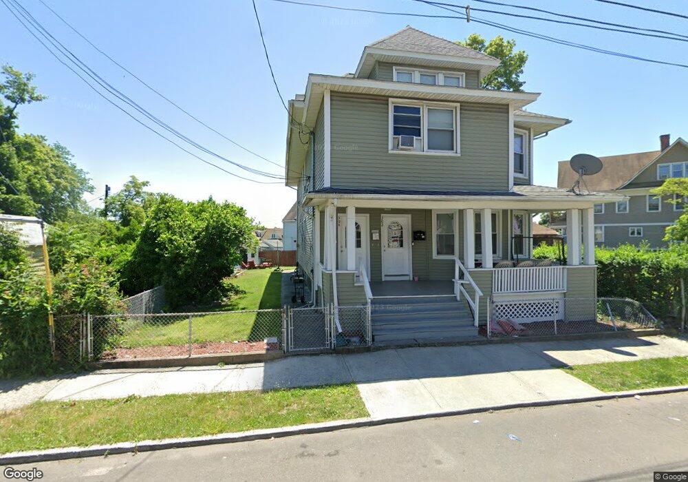
302 Huntington Rd Unit 304 Bridgeport, CT 06608
East Side Bridgeport NeighborhoodEstimated Value: $408,000 - $665,000
6
Beds
3
Baths
3,516
Sq Ft
$154/Sq Ft
Est. Value
About This Home
This home is located at 302 Huntington Rd Unit 304, Bridgeport, CT 06608 and is currently estimated at $540,333, approximately $153 per square foot. 302 Huntington Rd Unit 304 is a home located in Fairfield County with nearby schools including Beardsley School, Harding High School, and Achievement First Bridgeport Academy Elementary School.
Ownership History
Date
Name
Owned For
Owner Type
Purchase Details
Closed on
May 14, 1993
Sold by
North Park Mtg
Bought by
Camacho Jesus
Current Estimated Value
Home Financials for this Owner
Home Financials are based on the most recent Mortgage that was taken out on this home.
Original Mortgage
$96,900
Interest Rate
7.47%
Mortgage Type
Unknown
Create a Home Valuation Report for This Property
The Home Valuation Report is an in-depth analysis detailing your home's value as well as a comparison with similar homes in the area
Home Values in the Area
Average Home Value in this Area
Purchase History
| Date | Buyer | Sale Price | Title Company |
|---|---|---|---|
| Camacho Jesus | $102,000 | -- | |
| Camacho Jesus | $102,000 | -- |
Source: Public Records
Mortgage History
| Date | Status | Borrower | Loan Amount |
|---|---|---|---|
| Open | Camacho Jesus | $196,500 | |
| Closed | Camacho Jesus | $96,900 |
Source: Public Records
Tax History Compared to Growth
Tax History
| Year | Tax Paid | Tax Assessment Tax Assessment Total Assessment is a certain percentage of the fair market value that is determined by local assessors to be the total taxable value of land and additions on the property. | Land | Improvement |
|---|---|---|---|---|
| 2025 | $8,697 | $200,162 | $33,212 | $166,950 |
| 2024 | $8,697 | $200,162 | $33,212 | $166,950 |
| 2023 | $8,697 | $200,162 | $33,212 | $166,950 |
| 2022 | $8,697 | $200,162 | $33,212 | $166,950 |
| 2021 | $8,697 | $200,162 | $33,212 | $166,950 |
| 2020 | $7,802 | $144,510 | $15,720 | $128,790 |
| 2019 | $7,802 | $144,510 | $15,720 | $128,790 |
| 2018 | $7,857 | $144,510 | $15,720 | $128,790 |
| 2017 | $7,857 | $144,510 | $15,720 | $128,790 |
| 2016 | $7,857 | $144,510 | $15,720 | $128,790 |
| 2015 | $8,290 | $196,440 | $30,450 | $165,990 |
| 2014 | $8,290 | $196,440 | $30,450 | $165,990 |
Source: Public Records
Map
Nearby Homes
- 957 William St Unit A
- 1014 Noble Ave
- 1218 Kossuth St
- 502 Berkshire Ave
- 438 Park St
- 50 Goddard Ave
- 44 Locust St Unit 46
- 291 Stillman St
- 152 River St
- 199 Bradley St Unit 203
- 142 Palm St
- 105 Asylum St
- 369 Park St
- 604 William St
- 110 Asylum St
- 148 Orchard St
- 202 Goddard Ave
- 2031 E Main St
- 178 Island Brook Ave
- 274 Park St
- 707 Park St
- 735 Park St
- 699 Park St
- 1144 Noble Ave
- 661 Park St
- 1154 Noble Ave Unit 1156
- 689 Park St
- 728 Park St
- 728 Park St Unit 3rd
- 728 Park St Unit 2L
- 716 Park St
- 1112 Noble Ave Unit 1114
- 339 Huntington Rd
- 700 Park St
- 679 Park St
- 1104 Noble Ave
- 1170 Noble Ave
- 1131 Noble Ave
- 1131 Noble Ave Unit 4A
- 752 Park St Unit 754