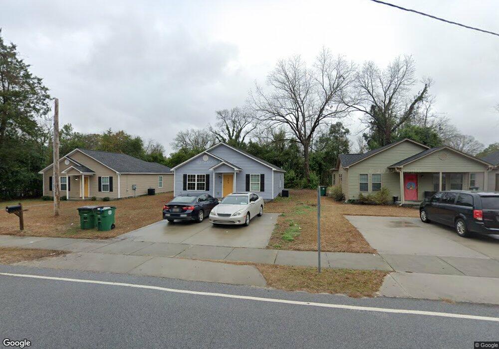
302 King St Camden, SC 29020
Estimated Value: $195,000 - $295,000
Studio
--
Bath
2,344
Sq Ft
$104/Sq Ft
Est. Value
About This Home
This home is located at 302 King St, Camden, SC 29020 and is currently estimated at $243,421, approximately $103 per square foot. 302 King St is a home located in Kershaw County with nearby schools including Jackson School, Pine Tree Hill Elementary School, and Camden Middle School.
Ownership History
Date
Name
Owned For
Owner Type
Purchase Details
Closed on
Aug 24, 2022
Sold by
Rabon Jr Vastine C
Bought by
Six Rabon Properties Llc
Current Estimated Value
Purchase Details
Closed on
Nov 4, 2020
Sold by
Santee-Lynches Regional Development Corp
Bought by
City Of Camden
Purchase Details
Closed on
Oct 20, 2020
Sold by
Santee-Lynches Regional Development Corp
Bought by
City Of Camden
Purchase Details
Closed on
Nov 4, 2013
Sold by
Brown Theodore L
Bought by
Brown Theodore L Brown
Purchase Details
Closed on
Oct 28, 2013
Sold by
Brown Keith H and Brown Drucilla C
Bought by
Brown Theodore L
Create a Home Valuation Report for This Property
The Home Valuation Report is an in-depth analysis detailing your home's value as well as a comparison with similar homes in the area
Purchase History
| Date | Buyer | Sale Price | Title Company |
|---|---|---|---|
| Six Rabon Properties Llc | -- | None Listed On Document | |
| City Of Camden | -- | Savage Royall & Sheheen Llp | |
| City Of Camden | -- | Savage Royall & Sheheen Llp | |
| Brown Theodore L Brown | -- | -- | |
| Brown Theodore L | $12,000 | -- |
Source: Public Records
Tax History
| Year | Tax Paid | Tax Assessment Tax Assessment Total Assessment is a certain percentage of the fair market value that is determined by local assessors to be the total taxable value of land and additions on the property. | Land | Improvement |
|---|---|---|---|---|
| 2025 | $5,696 | $242,600 | $25,000 | $217,600 |
| 2024 | $5,696 | $244,800 | $25,000 | $219,800 |
| 2023 | $1,104 | $12,000 | $12,000 | $0 |
| 2022 | $0 | $12,000 | $12,000 | $0 |
| 2021 | $133 | $8,300 | $6,000 | $2,300 |
| 2020 | $133 | $7,500 | $4,500 | $3,000 |
| 2019 | $133 | $7,500 | $4,500 | $3,000 |
| 2018 | $0 | $7,500 | $4,500 | $3,000 |
| 2017 | $133 | $7,500 | $4,500 | $3,000 |
| 2016 | $133 | $6,500 | $3,500 | $3,000 |
| 2015 | $125 | $6,500 | $3,500 | $3,000 |
| 2014 | $125 | $0 | $0 | $0 |
Source: Public Records
Map
Nearby Homes
- 817 Church St
- 306 Hampton Park
- 1301 Fair St
- 1313 Fair St
- 1305 Fair St
- 1205 Mill St
- 2065 Rexford Ct
- 2016 Rexford Ct
- 98 Ridge Circle Dr
- 93 Ridge Circle Dr
- 106 Ridge Circle Dr
- 2080 Rexford Ct
- 2052 Rexford Ct
- 97 Ridge Circle Dr
- 1302 Mill St
- 1116 Mathis Ct
- 31 Gardner St
- 714 Lafayette Ave
- 1201 Campbell St
- 1403 Lyttleton St
Your Personal Tour Guide
Ask me questions while you tour the home.