302 Lawrence Rd Pownal, ME 04069
Estimated Value: $373,982 - $512,000
3
Beds
1
Bath
1,152
Sq Ft
$405/Sq Ft
Est. Value
About This Home
This home is located at 302 Lawrence Rd, Pownal, ME 04069 and is currently estimated at $466,496, approximately $404 per square foot. 302 Lawrence Rd is a home located in Cumberland County with nearby schools including Freeport High School.
Ownership History
Date
Name
Owned For
Owner Type
Purchase Details
Closed on
May 13, 2021
Sold by
Verville Leonard W
Bought by
Harvey Carlene J
Current Estimated Value
Home Financials for this Owner
Home Financials are based on the most recent Mortgage that was taken out on this home.
Original Mortgage
$212,000
Outstanding Balance
$192,125
Interest Rate
3.1%
Mortgage Type
Purchase Money Mortgage
Estimated Equity
$274,371
Purchase Details
Closed on
Apr 2, 2019
Sold by
Verville Leonard W and Verville Nancy L
Bought by
Verville Leonard W
Create a Home Valuation Report for This Property
The Home Valuation Report is an in-depth analysis detailing your home's value as well as a comparison with similar homes in the area
Home Values in the Area
Average Home Value in this Area
Purchase History
| Date | Buyer | Sale Price | Title Company |
|---|---|---|---|
| Harvey Carlene J | -- | None Available | |
| Verville Leonard W | -- | -- |
Source: Public Records
Mortgage History
| Date | Status | Borrower | Loan Amount |
|---|---|---|---|
| Open | Harvey Carlene J | $212,000 |
Source: Public Records
Tax History Compared to Growth
Tax History
| Year | Tax Paid | Tax Assessment Tax Assessment Total Assessment is a certain percentage of the fair market value that is determined by local assessors to be the total taxable value of land and additions on the property. | Land | Improvement |
|---|---|---|---|---|
| 2024 | $3,267 | $192,200 | $62,100 | $130,100 |
| 2023 | $3,020 | $160,200 | $51,800 | $108,400 |
| 2022 | $2,884 | $160,200 | $51,800 | $108,400 |
| 2021 | $2,884 | $160,200 | $51,800 | $108,400 |
| 2020 | $2,884 | $160,200 | $51,800 | $108,400 |
| 2019 | $2,932 | $160,200 | $51,800 | $108,400 |
| 2018 | $3,287 | $160,200 | $51,800 | $108,400 |
| 2017 | $2,763 | $160,200 | $51,800 | $108,400 |
| 2016 | $2,643 | $160,200 | $51,800 | $108,400 |
| 2015 | $2,771 | $82,100 | $18,600 | $63,500 |
| 2014 | $2,832 | $82,100 | $18,600 | $63,500 |
| 2013 | $2,853 | $82,100 | $18,600 | $63,500 |
Source: Public Records
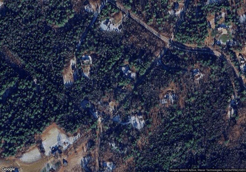
Map
Nearby Homes
- 890 Elmwood Rd
- 284 Allen Rd
- 244 Allen Rd
- 238 Hallowell Rd
- 026-01 Dow Ln
- 118 Royal Rd
- 0 New Gloucester Rd
- 850 Lawrence Rd
- 79 Birchwood Terrace
- 162 Merrill Rd
- 395 New Gloucester Rd
- 4 Harper's Trail
- 99 Rangdale Rd
- 53 Ridgewood Ln
- 118 Lufkin Rd
- 37 Ridgewood Ln
- 304 Pownal Rd
- 36 Blackthorne Ln
- 1 Blackthorne Ln
- 137 Durham Rd
- 308 Lawrence Rd
- 334 Lawrence Rd
- 292 Lawrence Rd
- 289 Lawrence Rd
- 286 Lawrence Rd
- 311 Lawrence Rd
- 764 Elmwood Rd
- 752 Elmwood Rd
- 321 Lawrence Rd
- 265 Lawrence Rd
- 249 Lawrence Rd
- 262 Lawrence Rd
- 711 Elmwood Rd
- 701 Elmwood Rd
- 788 Elmwood Rd
- 361 Lawrence Rd
- 791 Elmwood Rd
- 180 Leighton Rd
- 689 Elmwood Rd
- 0 Lawrence Rd Unit M9L65.02 1561439