302 Loafer Dr Burnsville, NC 28714
Estimated Value: $427,000 - $515,000
2
Beds
2
Baths
2,002
Sq Ft
$235/Sq Ft
Est. Value
About This Home
This home is located at 302 Loafer Dr, Burnsville, NC 28714 and is currently estimated at $470,142, approximately $234 per square foot. 302 Loafer Dr is a home with nearby schools including Mountain Heritage High School.
Ownership History
Date
Name
Owned For
Owner Type
Purchase Details
Closed on
Mar 13, 2023
Sold by
Kanj Llc
Bought by
Kurt Casper Revocable Trust
Current Estimated Value
Purchase Details
Closed on
Dec 17, 2020
Sold by
Casper Kurt and Protennoia Llc
Bought by
Kanj Llc
Purchase Details
Closed on
Sep 29, 2008
Sold by
Casper Kurt and Curtis Andrea L
Bought by
Protennoia Llc
Create a Home Valuation Report for This Property
The Home Valuation Report is an in-depth analysis detailing your home's value as well as a comparison with similar homes in the area
Home Values in the Area
Average Home Value in this Area
Purchase History
| Date | Buyer | Sale Price | Title Company |
|---|---|---|---|
| Kurt Casper Revocable Trust | -- | Chicago Title | |
| Kurt Casper Revocable Trust | -- | Chicago Title | |
| Kanj Llc | -- | None Available | |
| Protennoia Llc | -- | None Available |
Source: Public Records
Tax History Compared to Growth
Tax History
| Year | Tax Paid | Tax Assessment Tax Assessment Total Assessment is a certain percentage of the fair market value that is determined by local assessors to be the total taxable value of land and additions on the property. | Land | Improvement |
|---|---|---|---|---|
| 2025 | $1,674 | $335,800 | $113,500 | $222,300 |
| 2024 | $1,880 | $335,800 | $113,500 | $222,300 |
| 2023 | $1,138 | $177,760 | $50,600 | $127,160 |
| 2022 | $1,115 | $177,760 | $50,600 | $127,160 |
| 2021 | $1,138 | $177,760 | $50,600 | $127,160 |
| 2020 | $1,138 | $177,760 | $50,600 | $127,160 |
| 2019 | $1,138 | $177,760 | $50,600 | $127,160 |
| 2018 | $1,138 | $177,760 | $50,600 | $127,160 |
| 2017 | $1,138 | $177,760 | $50,600 | $127,160 |
| 2016 | $1,189 | $185,760 | $58,600 | $127,160 |
| 2015 | $1,036 | $191,880 | $50,900 | $140,980 |
| 2014 | $1,036 | $191,880 | $50,900 | $140,980 |
Source: Public Records
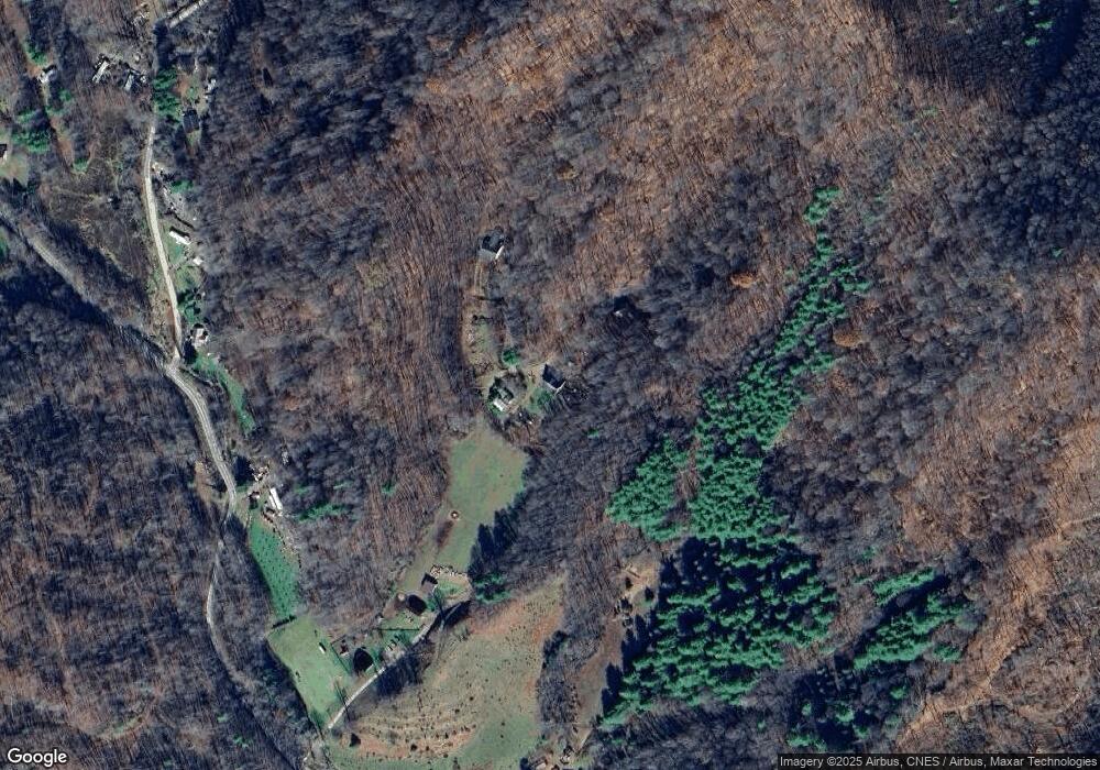
Map
Nearby Homes
- 31 acres Scronce Creek Rd
- 1201 Simms Fork Rd
- 99999 Windswept Dr
- 351 Swiss Loop
- 151 Swiss Loop
- 707 Lickskillet Rd
- 211 Evergreen Rd
- 222 Fox Creek Rd
- 18 Misty Meadows Rd
- 1375 Swing Rd
- 456 Windy Gap Rd
- Lot 38 Black Bear Run
- TBD US 19w Hwy
- 2311 Old Mountain Rd
- 239 Pleasant Valley Rd
- 237 Hickory Nut Ridge Rd Unit 10
- 10 Blossom Dr
- 00 Windy Gap Rd Unit Tract B
- 423 Hardscrabble Rd
- 197 Cherry Knob Dr
- 372 Loafer Dr
- 14 Simms Fork Rd
- 67 Loafer Dr
- 102 Emerald Ln
- 118 Simms Fork Rd
- 5.0 Unrestricted ACR Scronce Creek Rd
- 1395 Schronce Creek Rd
- SR#1395 Schronce Creek Rd
- 214 Simms Fork Rd
- 4.66 Unrestricted AC Scronce Creek Rd
- TBD Scronce Creek Rd
- 30+ acres OFF Scronce Creek Rd
- 1395 Scronce Creek Rd
- 1315 Scronce Creek Rd
- 1836 Scronce Creek Rd
- 346 Simms Fork Rd
- 1835 Scronce Creek Rd
- 99999A Scronce Creek Rd
- 432 Simms Fork Rd
- 000 Summer Trees Ln